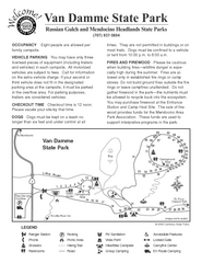
Van Damme State Park Campground Map
Map of campground region of park with detail of trails and recreation zones
0 miles away
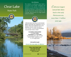
Clear Lake State Park Map
Map of park with detail of trails and recreation zones
54 miles away
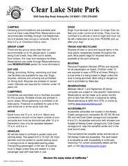
Clear Lake State Park Campground Map
Map of park with detail of trails and recreation zones
54 miles away
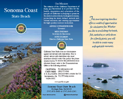
Sonoma Coast State Beach Map
Map of beach and park with detail of trails and recreation zones
69 miles away
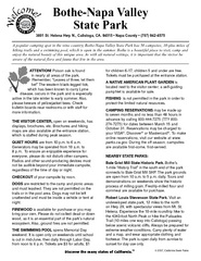
Bothe-Napa Valley State Park Map
Map of park with detail of of trails and recreation zones
82 miles away
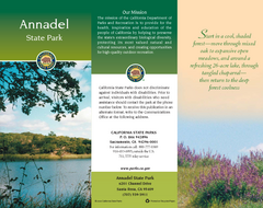
Annadel State Park Map
Map of park with detail of trails and recreation zones
84 miles away
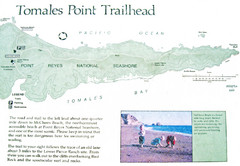
Tomales Point Trail Map
Map of the trail to Tomales Point in Point Reyes National Seashore, California. Also shows trail...
86 miles away

China Camp State Park Map
Map of park with detail of trails and recreation zones
111 miles away
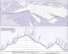
Dipsea Race Course Map
Course map of the annual Dipsea Trail Run Race. Shows birds-eye view and elevation profile of the...
114 miles away
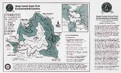
Angel Island State Park Map
Map of park with detail of trails and recreation zones
121 miles away
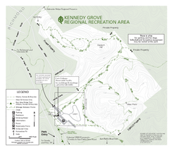
Kennedy Grove Recreation Area Trail Map
222-acre park
122 miles away
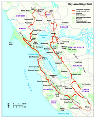
Bay Area Ridge Trail Map
Map of the Bay Area Ridge Trail. Shows completed segments through Sep 2009. "a 550+ mile...
125 miles away
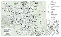
Briones Regional Park Trail Map
Trail map of Briones Regional Park in East Bay.
127 miles away
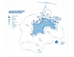
Lafayette Reservoir Recreation Area Map
130 miles away
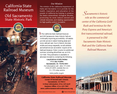
Old Sacramento State Historic Park Map
Map of park and museum with detail of trails and recreation zones
130 miles away
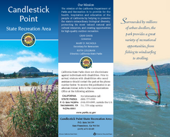
Candlestick Point Recreation Area Map
Map of park with detail of trails and recreation zones
131 miles away
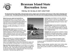
Brannan Island Campground Map
Map of park with detail of trails and recreation zones
137 miles away
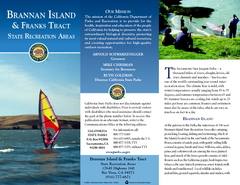
Brannan Island & Franks Tract State...
Map of park with detail of trails and recreation zones
137 miles away
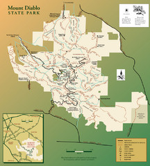
Mt. Diablo State Park Map
Trail map of Mt. Diablo State Park near Walnut Creek, CA
138 miles away
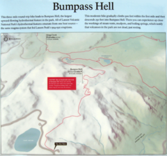
Bumpass Hell Trail Map
Trail map of route to Bumpass Hell, a major area of geo-thermal activity in Lassen National Park...
145 miles away
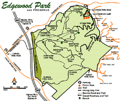
Edgewood County Park Trail Map
Trail map of Edgewood Park and Preserve in Redwood City, California.
148 miles away
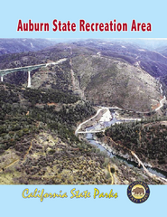
Auburn State Recreation Area Map
Map of park with detail of of trails and recreation zones
149 miles away
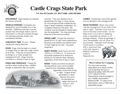
Castle Crags State Park Map
Map of park with detail of trails and recreation zones
151 miles away
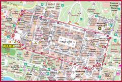
Cardinal Walk Map
Map of Stanford University campus with Cardinal Walk detail
154 miles away
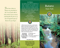
Butano State Park Map
Map of park with detail of trails and recreation zones
163 miles away
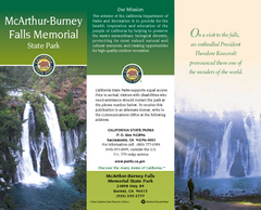
McArthur-Burney Falls Memorial State Park Map
Map of park with detail of trails and recreation zones
164 miles away
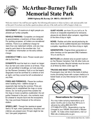
McArthur-Burney Falls Memorial State Park...
Map of park with detail of trails and recreation zones
164 miles away

Ano Nuevo State Park Map
Map of park with detail of trails and recreation zones
165 miles away
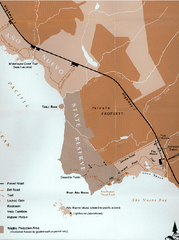
Ano Nuevo State Park Map
Map of park with detail of trails and recreation zones
165 miles away
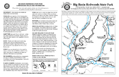
Big Basin Redwoods State Park Map
Map of park with detail of trails and recreation zones
167 miles away
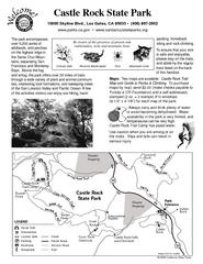
Castle Rock State Park Map
Map of park with detail of trails and recreation zones
167 miles away
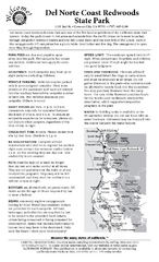
Del Norte Coast Redwoods State Park Campground Map
Map of park with detail of trails and recreation zones
167 miles away
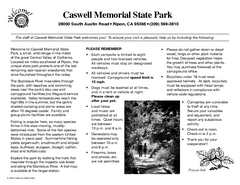
Caswell Memorial State Park Campground Map
Map of park with detail of trails and recreation zones
176 miles away
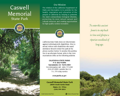
Caswell Memorial State Park Map
Map of park with detail of trails and recreation zones
177 miles away
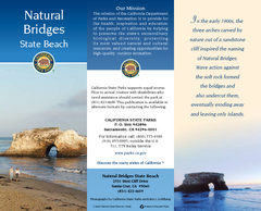
Natural Bridges State Beach Map
Map of beach and park with detail of trails and recreation zones
185 miles away
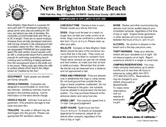
New Brighton State Beach Campground Map
Map of campground region of beach/park with detail of trails and recreation zones
187 miles away
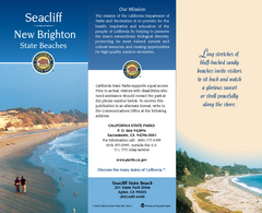
Seacliff & New Brighton State Beaches Map
Map of beaches and parks with detail of trails and recreation zones
187 miles away
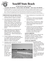
Seacliff State Beach Campground Map
Map of campground region of beach and park with detail of trails and recreation zones
188 miles away
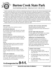
Burton Creek State Park Map
Map of park with detail of trails and recreation zones
193 miles away
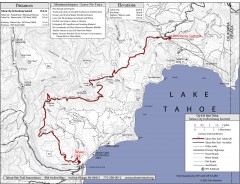
Tahoe Rim Trail: Tahoe City to Brockway Summit Map
Topographic hiking map of the Tahoe City-Brockway Summit leg of the Tahoe Rim Trail. Shows trail...
195 miles away


 Explore Maps
 Map Directory
