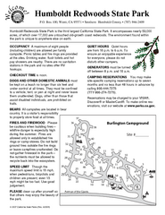
Humboldt Redwoods State Park Campground Map
Map of campground region park with detail of trails and recreation zones
0 miles away
Richardson Grove State Park Map
Map of park with detail of trails and recreation zones
7 miles away
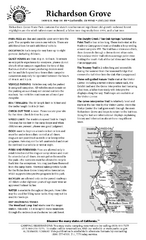
Richardson Grove State Park Campground Map
Map of campground region of park with detail of trails and recreation zones
7 miles away
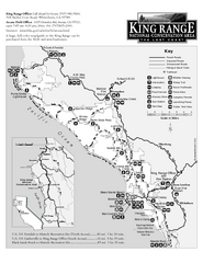
King Range National Conservation Area Trail Map
Trail map of the King Range National Conservation Area, home of the Lost Coast, California. Shows...
15 miles away
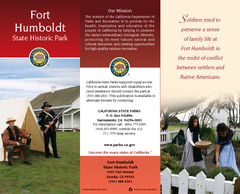
Fort Humboldt State Historic Park Map
Map of park with detail of trails and recreation zones
33 miles away
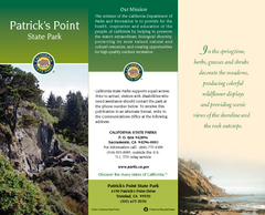
Patrick's Point State Park Map
Map of park with detail of trails and recreation zones
57 miles away
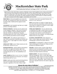
MacKerricher State Park Campground Map
Map of campground region of park with detail of trails and recreation zones
58 miles away
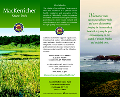
MacKerricher State Park Map
Map of park with detail of trails and recreation zones
59 miles away
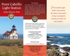
Point Cabrillo Light Station State Historic Park...
Map of park with detail of trails and recreation zones
68 miles away
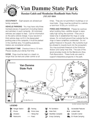
Russian Gulch State Park Campground Map
Map of campground region of park with detail of trails and recreation zones
69 miles away

Van Damme State Park Map
Park map of Van Damme State Park near Mendocino, California. Show Fern Valley Trail through...
73 miles away
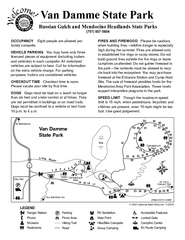
Van Damme State Park Campground Map
Map of campground region of park with detail of trails and recreation zones
74 miles away
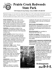
Prairie Creek Redwoods State Park Campground Map
Map of campground region of park with detail of trails and recreation zones
75 miles away
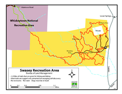
Swasey Recreation Area Map
12 Miles of trails that are great for hiking and biking. Most trails are rugged and unmarked...
80 miles away
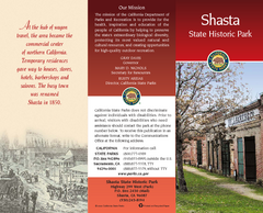
Shasta State Historic Park Map
Map of park with detail of trails and recreation zones
81 miles away
Hendy Woods State Park Map
Map of park with detail of trails and recreation zones
90 miles away
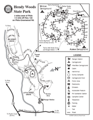
Hendy Woods State Park Map
Park map of Hendy Woods State Park in Philo, California. Shows trails, campgrounds, and other...
90 miles away
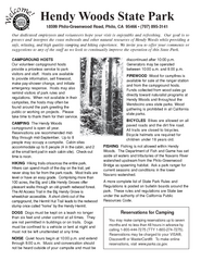
Hendy Woods State Park Campground Map
Map of campground region park with detail of trails and recreation zones
90 miles away
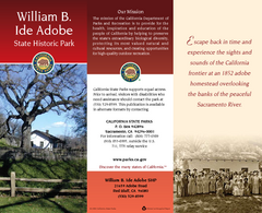
William B. Ide Adobe State Historic Park Map
Map of park with detail of trails and recreation zones
94 miles away
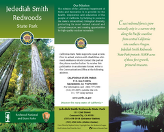
Jedediah Smith Redwoods State Park Map
Map of park with detail of trails and recreation zones
101 miles away
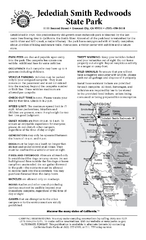
Jedediah Smith Redwoods State Park Campground Map
Map of campground region of park with detail of trails and recreation zones
101 miles away
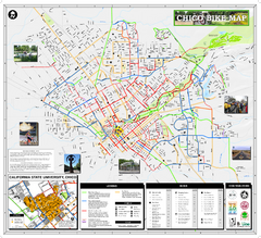
Chico Bike Map
Bicycle route map of Chico, California
121 miles away
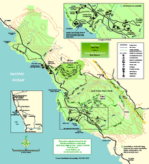
Salt Point State Park Map
Topo park map of Salt Point State Park and Kruse Rhododendron State Reserve. Shows trails by use...
125 miles away
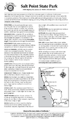
Salt Point State Park Campground Map
Map of campground region of park with detail of trails and recreation zones
126 miles away
Salt Point State Park Map
Map of park with detail of trails and recreation zones
126 miles away
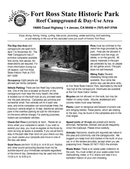
Fort Ross State Historic Park Campground Map
Map of park with detail of trails and recreation zones
131 miles away
Fort Ross State Historic Park Map
Map of park with detail of trails and recreation zones
131 miles away
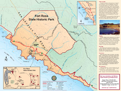
Fort Ross State Historic Park Map
Map of park with detail of trails and recreation zones
131 miles away
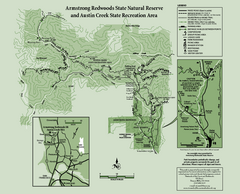
Armstrong Redwoods State Natural Reserve Map and...
Park map of Armstrong Redwoods State Natural Reserve and Austin Creek State Recreation Area in...
132 miles away
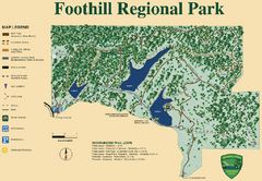
Foothill Regional Park Map
Park map of Foothill Regional Park in Sonoma County, California. Shows trails and 3 lakes.
137 miles away
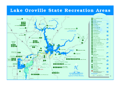
Lake Oroville State Recreation Area Map
Recreation overview map of Lake Oroville State Recreation Area near Oroville, California. Show all...
140 miles away
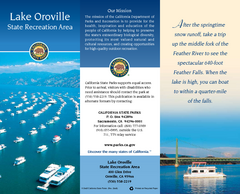
Lake Oroville State Recreation Area Map
Map of recreation area with detail of trails and recreation zones
145 miles away
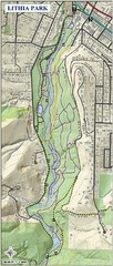
Lithia Park Trail Map
Trail map of Lithia Park in town of Ashland, Oregon. Adjacent to the Oregon Shakespeare Festival.
145 miles away
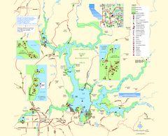
Lake Oroville State Recreation Area Map
Map of recreation area with detail of trails and recreation zones
146 miles away
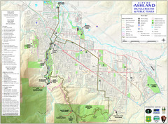
Ashland Trails Map
Trail map of Ashland, Oregon. Shows bicycle routes and public parks and trails.
146 miles away
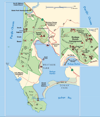
Bodega Bay Park Map
Park map of the Sonoma Coast State Beach park lands in Bodega Bay, California. Shows roads, trails...
146 miles away
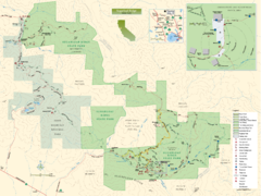
Sugarloaf Ridge State Park Map
Trail map of Sugarloaf Ridge State Park
151 miles away
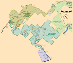
Hood Mountain Regional Park Map and Sugarloaf...
Park map of Hood Mountain Regional Park and Open Space Preserve and Sugarloaf Ridge State Park in...
151 miles away
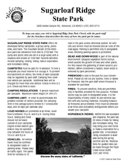
Sugarloaf Ridge State Park Campground Map
Map of park with detail of trails and recreation zones
152 miles away
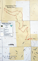
Grizzly Peak Trail Map
Topographic trail map of Grizzly Peak near Ashland, Oregon. Shows trails and distances. From...
152 miles away


 Explore Maps
 Map Directory
