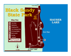
Black Sandy State Park Map
Simple but clear map of State Park.
0 miles away
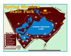
Spring Meadow Lake State Park Map
This urban, day-use-only park minutes from Helena fed by natural springs, is a popular spot for...
17 miles away
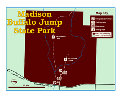
Madison Buffalo Jump State Park Map
You’ll find this day-use-only park seven graveled miles off Interstate 90 at the Logan exit...
68 miles away
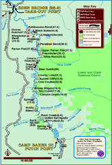
Smith River State Park Map
The Smith River is a unique 59-mile river corridor. Permits are required to float the stretch of...
75 miles away
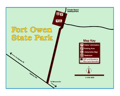
Fort Owen State Park Map
Fort Owen’s adobe and log remains preserves the site of the first permanent white settlement...
105 miles away
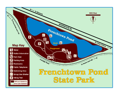
Frenchtown Pond State Park Map
Plan to bring everyone in the family to this day-use-only park for a whole afternoon of picnicking...
114 miles away
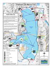
West Shore State Park Map
Glacially carved rock outcrops rise from Flathead Lake to overlooks with spectacular views of the...
122 miles away
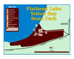
Yellow Bay State Park Map
Yellow Bay is in the heart of the famous Montana sweet cherry orchards, blossoms color the...
128 miles away
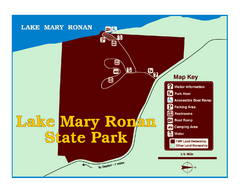
Lake Mary Ronan State Park Map
Off the beaten path just seven miles west of Flathead Lake, this park is shaded by Douglas fir and...
143 miles away
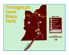
Pictograph Cave State Park Map
The 2,730-square-foot building, on the northwestern side of the existing parking lot, is designed...
180 miles away
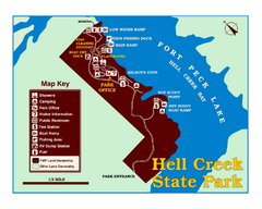
Hell Creek State Park Map
You’ll reach this campground park, 25 miles north of Jordan, through the spectacular scenery...
243 miles away
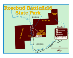
Rosebud Battlefield State Park Map
This National Historic Landmark on the rolling prairie of eastern Montana preserves the site of the...
257 miles away
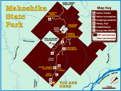
Makoshika State Park Map
To the Sioux Indians, Ma-ko-shi-ka meant bad earth or bad land. Today, as Montana’s largest...
342 miles away
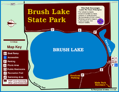
Brush Lake State Park Map
Simple and easily read map.
385 miles away
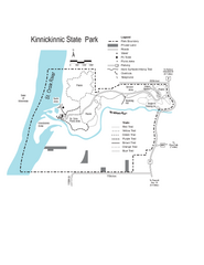
Kinnickinnic State Park Map
Map detailing hiking routes and stops along the way.
931 miles away
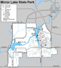
Mirror Lake State Park Map
Nice hiking routes around the lake.
1095 miles away
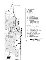
New Glaris Woods Map
Marked bathroom stops, trails, ect.
1123 miles away
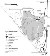
Havenwoods State Forest Map
Hiking trails and bus stops marked on this map.
1223 miles away
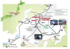
Hakuba Valley Map
The Hakuba Valley is located in the "heart" of Japan, a 3 hour scenic rail journey from...
5245 miles away


 Explore Maps
 Map Directory
