River Thames Map
River Thames Map, illustrated by Katherine Baxter for the Runnymede-on-Thames Hotel as a 8 metre...
43 miles away
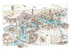
Map of London
Aerial map of London, a look at the History of London and the River Thames
46 miles away
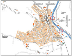
Henley-on-thames Map
Visitor Map of Henley-on-thames. Map shows location of most main roads, buildings, and parking.
57 miles away
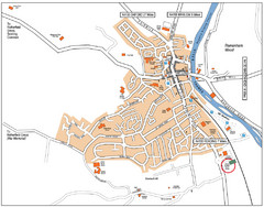
Henley-on-Thames Map
57 miles away
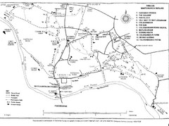
Whitchurch on Thames Walking Map
Guide to 12 walks around Whitchurch on Thames, UK
60 miles away
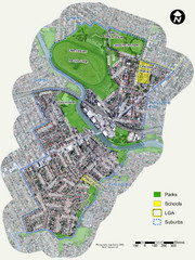
Canterbury Map
Map of parks, main streets, etc.
63 miles away
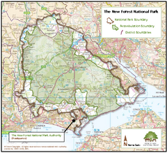
The New Forest National Park Map
Nice map with clear park boundaries.
63 miles away
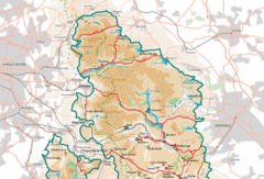
Peak District National Park Map
National Park map.
187 miles away
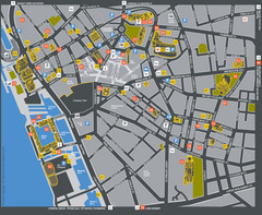
Liverpool Tourist Map
Tourist map of central Liverpool, England, UK. Shows points of interest.
214 miles away
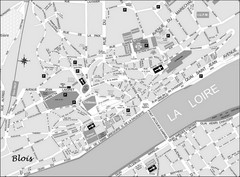
Blois Street Map
235 miles away

Chateaux of the Loire River Valley Map
Chateaus of the Loire River Valley region in France. Stretching from the Atlantic from Nantes to...
249 miles away
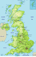
United Kingdom Physical Map
Guide to topography and physical features of Great Britain
281 miles away
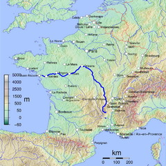
France Map with river Loire Highlighted
Map of France with river Loire higlighted.
317 miles away
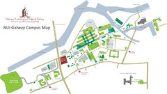
NUI Galway Campus Map
Map of National University of Ireland, Galway Campus
413 miles away
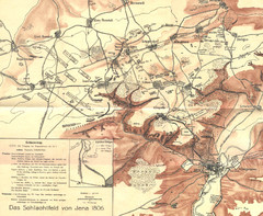
1806 Jena, Germany Map
Historic guide to Jena, Germany in German
512 miles away
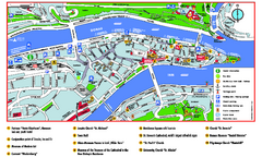
Passau Tourist Map
Tourist map of Passau, Germany. Shows points of interest. In English.
629 miles away
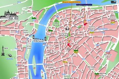
Prague Old Town Map
Tourist map of Old Town Prague, Czech Republic
644 miles away
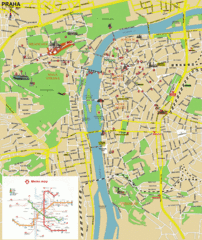
Prague (Praha) Tourist Map
Guide to major streets, points of interest and Metro
644 miles away
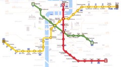
Prague Downtown Metro Map
Guide to public transportation in Prague
645 miles away
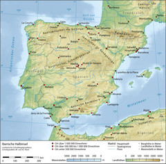
Iberian Peninsula Physical Map
Physical relief map of the Iberian Peninsula. Shows color-coded elevation in meters
738 miles away
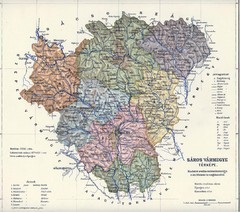
1910 Hungarian Map
Guide to historic Hungary, current Slovakia
958 miles away
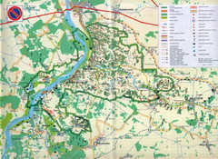
Kazimierski Landscape Park Map
Part of one of main ecological corridors in Europe enabling the birds to nest and migrate.
959 miles away

Danube River Basin by Maps Illustrated Map
Map from Diplomat magazine from an article on the economic region based on the Danube Basin
988 miles away
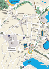
St. Julians Map
Simple map marking points of interest and roads.
1264 miles away
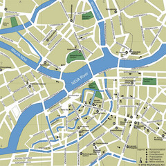
Saint Petersburg City Map
Clear map of this fun Russian city.
1337 miles away
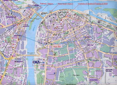
Nizhny Novgorod Tourist Map
Tourist map of central Nizhny Novgorod, Russia on the Volga River. Scanned.
1821 miles away
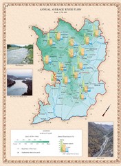
Karabakh Map
Annual Average River Flow in the Nagorno-Karabakh Republic (Artsakh)
2277 miles away
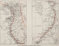
1897 Cook's Nile Map
Map of Steamer and Dahabeah service on the Nile
2297 miles away
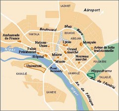
Niamey City Map
Simple map of this small city in Niger.
2585 miles away
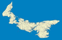
Prince Edward Island Road map
Road map of Prince Edward Island
2812 miles away
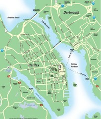
Halifax Area Map
Streets, roads and points of interest are all clearly marked on this map.
2887 miles away
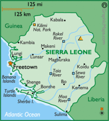
Sierra Leone Map
Cities and towns of Sierra Leone.
3005 miles away
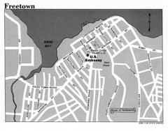
Freetown City Map
Road map of this Sierra Leone Capitol.
3023 miles away
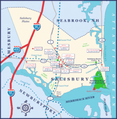
Salisbury Town Map
3259 miles away
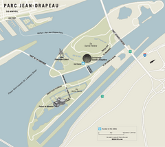
Parc Jean Drapeau Map
Park map of Parc Jean Drapeau in the St. Lawrence River, Montreal
3262 miles away
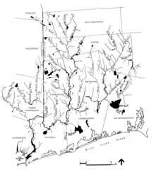
Rhode Island Coastal Watershed Map
Paddling Guide of Pawcatuck River Watershed
3356 miles away
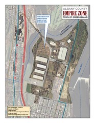
Green Island Map
Aerial town map of Green Island, New York on the Hudson River
3379 miles away


 Explore Maps
 Map Directory
