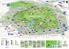
Regent's Park Map
Birds-eye view of the Regent's Park in London
48 miles away
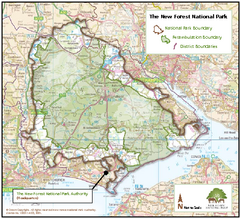
The New Forest National Park Map
Nice map with clear park boundaries.
63 miles away
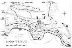
Montreux City Map
City map of Montreux, Switzerland on Lac Leman
445 miles away
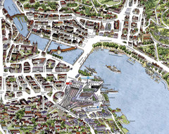
Lucerne Tourist Map
Tourist map of central Lucerne, Switzerland. 3D view showing buildings.
466 miles away
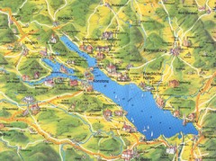
Lake Konstanz Map
480 miles away
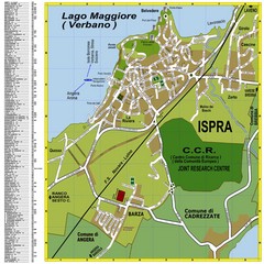
Ispra Town Map
Town map of Ispra, Italy on east side of Lake Maggiore (Lombardy region, Northern Italy). With...
533 miles away
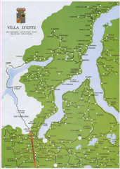
Lake Como Map
Map of lake with detail of surrounding towns
547 miles away
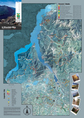
Lake Como Mountain Biking Trail Map
Trail map of mountain biking routes around Lake Como, Italy.
548 miles away
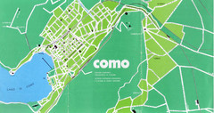
Como City Map
City map and historical sites of Como, Italy.
550 miles away
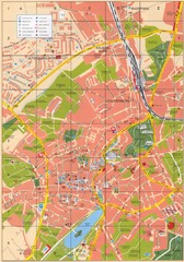
Altenburg Tourist Map
Guide to Altenburg, Germany in German
550 miles away
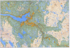
Selbu Norway Area Map
952 miles away
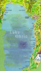
Lake Ohrid Tourist Map
Tourist map of Lake Ohrid in Macedonia. Shows points of interest around the lake
1207 miles away
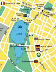
Hijomskalagarour, Iceland Tourist Map
1213 miles away
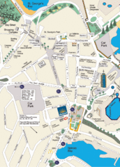
St. Julians Map
Simple map marking points of interest and roads.
1264 miles away
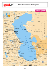
Caspian Sea Map
Map of Caspian Sea and surrounding region
2401 miles away
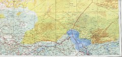
Lake Chad and Eastern Niger Physical Map
Physical map covers Lake Chad and East Niger. Shows roads and topography. Portion of Sheet 13...
2546 miles away
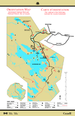
Kejimkujik National Park Map
Official Parks Canada map of Kejimkujik National Park, Nova Scotia. Shows lakes, trails, campsites...
2966 miles away
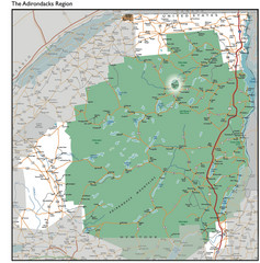
Adirondacks Lakes Map
Guide to lakes and waterways in the Adirondacks Park Preserve
3340 miles away
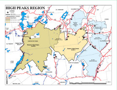
Adirondacks Canoeing Map
Guide to canoeing in the Adirondacks
3341 miles away
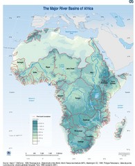
Africa River Basin Map
Guide to the major river basins of Africa
3422 miles away
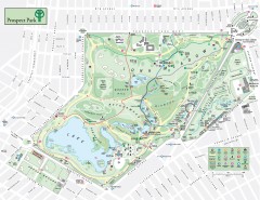
Prospect Park Map
Overview map of Prospect Park, a 585-acre city park located in the heart of Brooklyn. Designed by...
3478 miles away
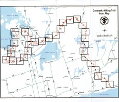
Ganaraska Hiking Trail Map
Map of the hiking trail at Ganaraska forest in Canada. Shows roads, surrounding lakes, towns and...
3505 miles away
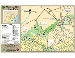
Alapocas Run State Park Map
Detailed map and clear legend for this nice state park.
3574 miles away
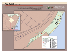
Fox Point State Park Map
Clear and simple state park map.
3576 miles away
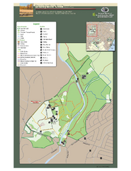
Brandywine Creek State Park Map
Easy to read map and legend of this beautiful state park.
3581 miles away
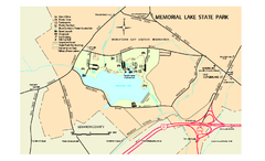
Memorial Lake State Park map
Detailed map of Memorial Lake State Park in Pennsylvania
3596 miles away
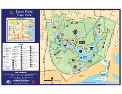
Lums Pond State Park Map
Clear legend and map of this wonderful state park.
3598 miles away
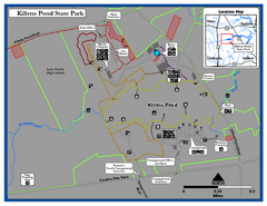
Killens Pond State Park Map
Map of Delaware State Park.
3616 miles away
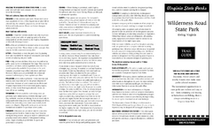
Wilderness Road State Park Map
Clearly marked state park map and legend.
3684 miles away
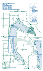
Pymatuning State Park Map
Detailed recreation map for Pymatuning State Park in Ohio
3702 miles away
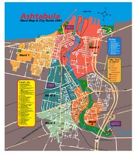
Ashtabula Tourist Map
Tourist map of Ashtabula, Ohio, situated on Lake Erie. Shows wards, notable sites, boating info...
3703 miles away
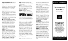
Westmoreland State Park Map
Fishing, hiking, camping and more are all available at this state park.
3707 miles away
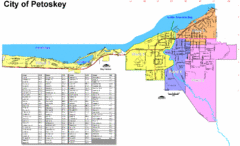
Petoskey Street Map
Street map of Petoskey, Michigan. Official city map.
3714 miles away
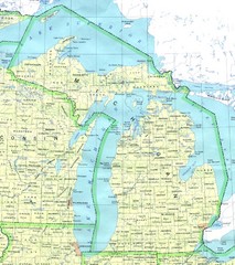
Lake Michigan Map
3728 miles away
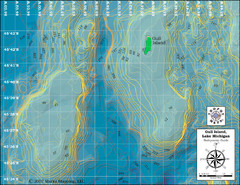
Gull Island Bathymetric Map
3736 miles away
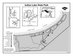
Indian Lake State Park, Michigan Site Map
3737 miles away
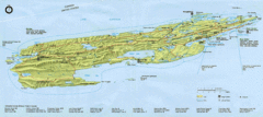
Isle Royale National Park Map
Park map of Isle Royal National Park. Scanned.
3744 miles away
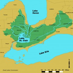
Lake St. Clair/St. Clair River watershed Map
Shows the Lake St. Clair/St. Clair River watershed.
3749 miles away
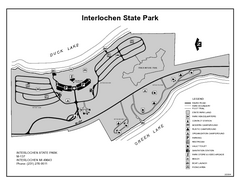
Interlochen State Park, Michigan Site Map
3776 miles away


 Explore Maps
 Map Directory
