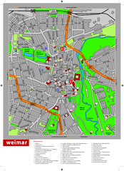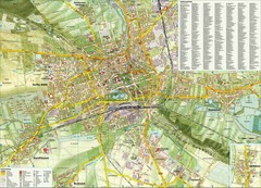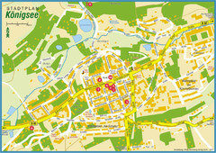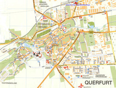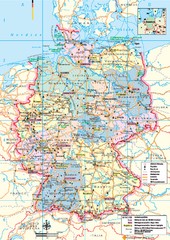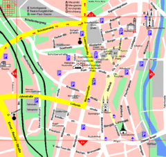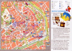
Erfurt Tourist Map
Tourist map of Erfurt, Germany. Shows points of interest. In German. Scanned.
0 miles away
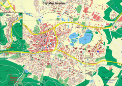
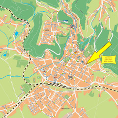
Ilmenau City Map
City map of Ilmenau, Germany
21 miles away
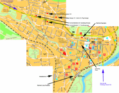
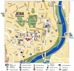
Jena City Map
City map of Jena with information
24 miles away
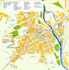
Saalfeld Tourist Map
Tourist street map of Saalfeld
27 miles away
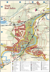
Bad Sulza Tourist Map
Tourist street map of Bad Sulza
27 miles away
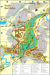
Bad Sulza Map
Tourist street map of Bad Sulza
27 miles away
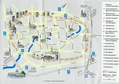
Muhlhausen City Map
City map of Muhlhausen with attractions.
29 miles away
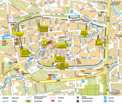
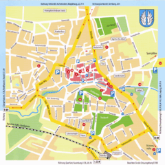
Mühlhausen Tourist Map
Tourist street map of Mühlhausen
29 miles away
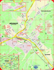
Neuhaus am Rennweg Map
Street map of Neuhaus am Rennweg
33 miles away
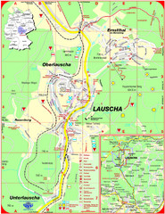
Lauscha Map
Street map of town of Lauscha and surrounding area
34 miles away
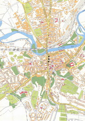
Weissenfels City Map
City map of Weissenfels, Germany
44 miles away
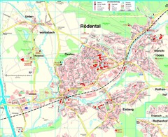
Rödental Map
Street map of city of Rödental
47 miles away
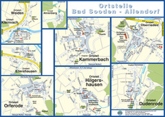
Bad Sooden-Allendorf Towns Map
Street maps of towns within the Bad Sooden-Allendorf region
50 miles away
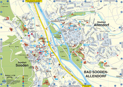
Sooden-Allendorf Map
Street map of Sooden and Allendorf
50 miles away
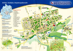
Bad Konigshofen Toursit Map
Tourist map of Bad Konigshofen
53 miles away
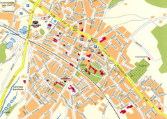
Halle City Map
Street map of Halle city center
54 miles away
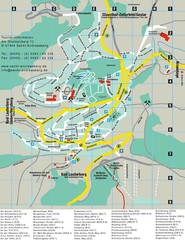
Sankt Andreasberg Tourist Map
Sankt Andreasberg tourist map
55 miles away
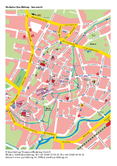
Quedlinburg Map
Street map of town of Quedlinburg
57 miles away
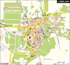
Loebejuen Map
Street map of town of Loebejuen
60 miles away
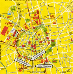
Gottingen City Map
City map of Gottingen with school buildings highlighted
61 miles away
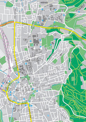
Göttingen City Map
City map of Göttingen, Germany
61 miles away
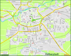
Halberstadt Map
Street map of Halberstadt town
64 miles away


 Explore Maps
 Map Directory
