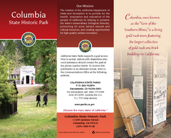
Columbia State Historic Park Map
Map of park with detail of trails and recreation zones
0 miles away
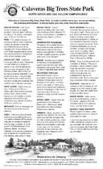
Calaveras Big Trees State Park Map
Map of park with detail of trails and recreation zones
17 miles away
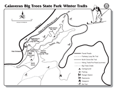
Calaveras Big Trees State Park Winter Map
Map of park with detail of winter ski trails and recreation zones
17 miles away
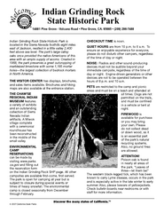
Indian Grinding Rock State Historic Park...
Map of campground region of park with detail of trails and recreation zones
30 miles away
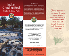
Indian Grinding Rock State Historic Park Map
Map of park with detail of trails and recreation zones
30 miles away
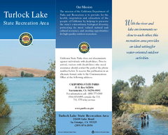
Turlock Lake State Recreation Area Map
Map of recreation area with detail of trails and recreation zones
30 miles away

Turlock Lake State Recreation Area Campground Map
Map of campground region of recreation area with detail of trails and recreation zones
30 miles away
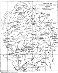
Yosemite Park Map (before development)
Map of Yosemite Park before valley development, showing only Portal Road
43 miles away
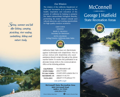
McConnell State Recreation Area Map
Map of park with detail of trails and recreation zones
46 miles away
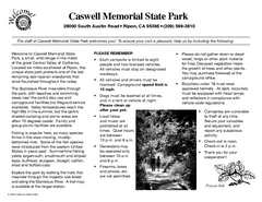
Caswell Memorial State Park Campground Map
Map of park with detail of trails and recreation zones
48 miles away
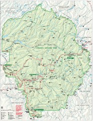
Yosemite National Park Map
Detailed Park Map of Yosemite National Park. Includes all camping areas, trails, roads...
49 miles away
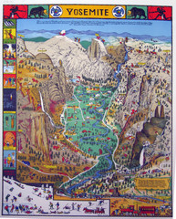
Yosemite National Park Visitor Map
Colorful Visitor Map of Yosemite National Park. Illustrates location of hiking trails, camp...
49 miles away
Caswell Memorial State Park Map
Map of park with detail of trails and recreation zones
49 miles away
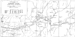
Yosemite Valley Map
Map of the valley and key elevations
49 miles away
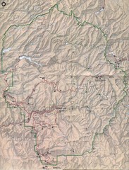
Yosemite National Park Map
Yosemite National Park Map. Shows location of all hiking trails, camp grounds, visitor center and...
51 miles away
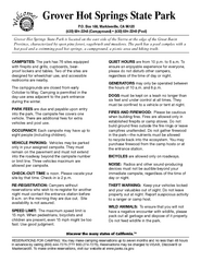
Grover Hot Springs State Park Campground Map
Map of park with detail of trails and recreation zones
55 miles away
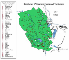
Desolation Wilderness, Lake Tahoe, California Map
Map of Desolation Wilderness, southwest of Lake Tahoe, California. Shows pack-in camping zones...
60 miles away
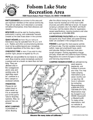
Folsom Lake State Recreation Area Campground Map
Map of park with detail of trails and recreation zones
62 miles away
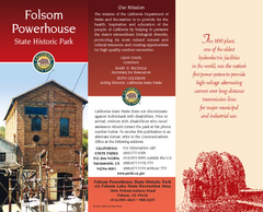
Folsom Powerhouse State Historic Park Map
Map of park with detail of trails and recreation zones
62 miles away
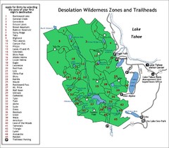
Desolation Wilderness Permits Zone Map
Zone and trailhead map of the Desolation Wilderness near Lake Tahoe, California. Use to figure out...
62 miles away
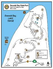
Emerald Bay State Park Campground Map
Map of park with detail of trails and recreation zones
66 miles away
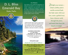
D.L. Bliss State Park Map
Map of park with detail of trails and recreation zones
67 miles away
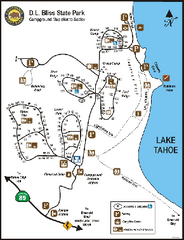
D.L. Bliss State Park Campground Map
Map of park with detail of trails and recreation zones
67 miles away
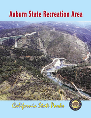
Auburn State Recreation Area Map
Map of park with detail of of trails and recreation zones
70 miles away
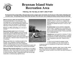
Brannan Island Campground Map
Map of park with detail of trails and recreation zones
70 miles away
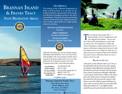
Brannan Island & Franks Tract State...
Map of park with detail of trails and recreation zones
70 miles away

Sugar Pine Point State Park South Map
Map of southern region of park with detail of trails and recreation zones
71 miles away
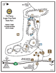
Sugar Pine Point State Park Campground Map
Map of campground region of park with detail of trails and recreation zones
71 miles away
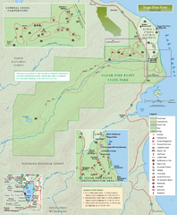
Sugar Pine Point State Park Map
Map of park with detail of trails and recreation zones
71 miles away
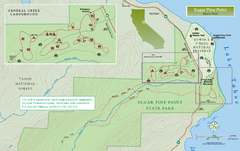
Sugar Pine Point State Park North Map
Map of northern region of park with detail of trails and recreation zones
72 miles away
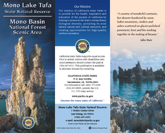
Mono Lake Tufa State Natural Reserve Map
Map of reserve with detail of trails and recreation zones
75 miles away

Bodie State Park SW Map
Map of park with detail of trails and recreation zones
76 miles away

Bodie State Park SE Map
Map of park with detail of trails and recreation zones
76 miles away

Bodie State Park NW Map
Map of park with detail of trails and recreation zones
76 miles away
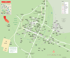
Bodie State Park Map
Map of park with detail of trails and recreation zones
76 miles away
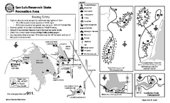
San Luis Reservoir State Recreation Area...
Map of campground region of park and reservoir with detail of trails and recreation zones
77 miles away

Bodie State Park NE Map
Map of park with detail of trails and recreation zones
77 miles away
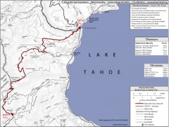
Tahoe Rim Trail: Barker Pass to Tahoe City Map
Topographic hiking map of the Barker Pass-Tahoe City leg of the Tahoe Rim Trail. Shows trailheads...
77 miles away
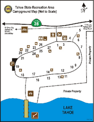
Tahoe State Recreation Area Campground Map
Map of park with detail of trails and recreation zones
80 miles away
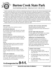
Burton Creek State Park Map
Map of park with detail of trails and recreation zones
80 miles away


 Explore Maps
 Map Directory
