
Colonel Allensworth State Historic Park Map
Map of park with detail of trails and recreation zones
0 miles away
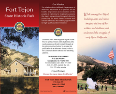
Fort Tejon State Historic Park Map
Map of park with detail of trails and recreation zones
66 miles away
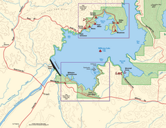
Millerton Lake State Recreation Area SW Map
Map of SW region of park with detail of trails and recreation zones
82 miles away
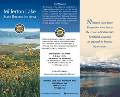
Millerton Lake State Recreation Area Map
Map of park with detail of trails and recreation zones
82 miles away
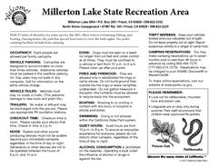
Millerton Lake State Recreation Area Campground...
Map of campground region of park with detail of trails and recreation zones
82 miles away

Millerton Lake State Recreation Area NE Map
Map of NE region of park with detail of trails and recreation zones
82 miles away
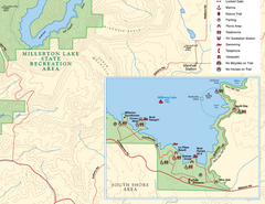
Millerton Lake State Recreation Area SE Map
Map of SE region of park with detail of trails and recreation zones
82 miles away
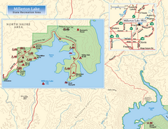
Millerton Lake State Recreation Area NW Map
Map of NW region of park with detail of trails and recreation zones
82 miles away
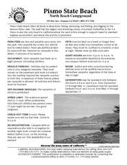
Pismo Beach North Campground Map
Map of park with detail of trails and recreation zones
87 miles away
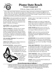
Pismo Beach Oceano Campground Map
Map of oceano campground region of park with detail of trails and recreation zones
87 miles away
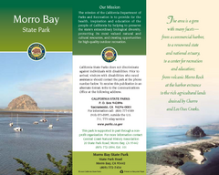
Morro Bay State Park Map
Map of park with detail of trails and recreation zones
88 miles away
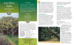
Los Osos Oaks State Reserve Map
Map of reserve with detail of trails and recreation zones
88 miles away
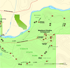
San Simeon State Park East Map
Map of east region of park with detail of trails and recreation zones
99 miles away

San Simeon State Park Map
Map of park with detail of trails and recreation zones
99 miles away
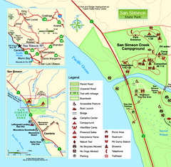
San Simeon State Park West Map
Map of west region of park with detail of trails and recreation zones
99 miles away
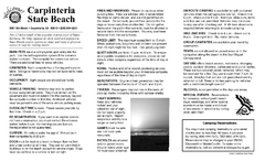
Carpinteria State Beach Campground Map
Map of park with detail of trails and recreation zones
102 miles away
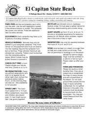
El Capitan State Beach Campground Map
Map of campground region park with detail of trails and recreation zones
104 miles away
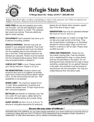
Refugio State Beach Campground Map
Map of campground region of beach with detail of trails and recreation zones
104 miles away
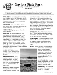
Gaviota State Park Campground Map
Map of campground region of park with detail of trails and recreation zones
106 miles away
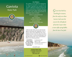
Gaviota State Park Map
Map of park with detail of trails and recreation zones
106 miles away
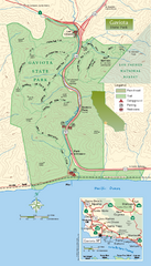
Gaviota State Park Zoom Map
Zoom map of park with detail of trails and recreation zones
106 miles away
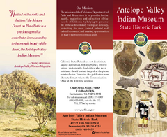
Antelope Valley State Park Map
Map of park with detail of of trails and recreation zones
108 miles away
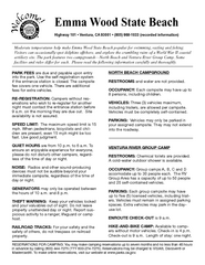
Emma Wood State Beach Campground Map
Map of campground region of park with detail of trails and recreation zones
109 miles away
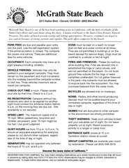
McGrath State Beach Campground Map
Map of beach and park with detail of trails and recreation zones
114 miles away
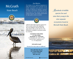
McGrath State Beach Map
Map of beach and park with detail of trails and recreation zones
114 miles away
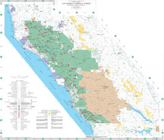
Los Padres National Forest Map - North
Overview map of the northern section of Los Padres National Forest in the Monterey Ranger District...
117 miles away

Limeklin State Park Map
Map of park with detail of trails and recreation zones
119 miles away
Saddleback Butte State Park Map
Map of park with detail of trails and recreation zones
122 miles away
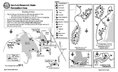
San Luis Reservoir State Recreation Area...
Map of campground region of park and reservoir with detail of trails and recreation zones
125 miles away
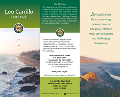
Leo Carrillo State Park Map
Map of park with detail of trails and recreation zones
127 miles away
Malibu Creek State Park Campground Map
Map of campground region of park with detail of trails and recreation zones
128 miles away

Pacheco State Park Map
Map of park with detail of trails and recreation zones
129 miles away
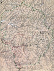
Yosemite National Park Map
Yosemite National Park Map. Shows location of all hiking trails, camp grounds, visitor center and...
129 miles away
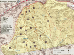
Pacheco State Park Trail Map
Map of park with details of different trails
130 miles away
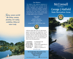
McConnell State Recreation Area Map
Map of park with detail of trails and recreation zones
130 miles away
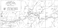
Yosemite Valley Map
Map of the valley and key elevations
130 miles away

Fremont Peak State Park Map
Map of park with detail of trails and recreation zones
133 miles away
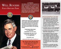
Will Rogers State Historic Park Map
Map of park with detail of trails and recreation zones
135 miles away
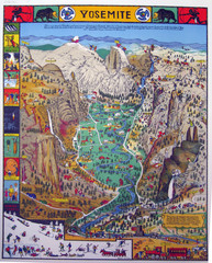
Yosemite National Park Visitor Map
Colorful Visitor Map of Yosemite National Park. Illustrates location of hiking trails, camp...
135 miles away
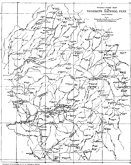
Yosemite Park Map (before development)
Map of Yosemite Park before valley development, showing only Portal Road
136 miles away


 Explore Maps
 Map Directory
