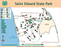
Saint Edward State Park Map
Map of park with detail of trails and recreation zones
0 miles away
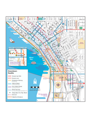
Downtown Seattle Bikeways Map
Map of bike paths, bike lanes, public transportation and points of interest in Seattle, Washington.
10 miles away
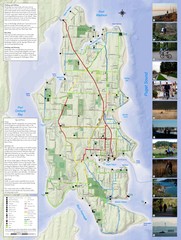
Bainbridge Island Hiking and Biking Map
Shows trails and bike routes on Bainbridge Island, Washington in the Puget Sound. Also shows...
14 miles away
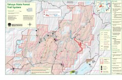
Tahuya State Forest Trail Map
Shows trails of Tahuya State Forest. Show roads, doubletrack, singletrack, and 4WD only.
36 miles away
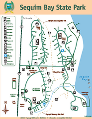
Sequim Bay State Park Map
Map of park with detail of trails and recreation zones
57 miles away
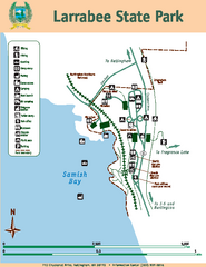
Larrabee State Park Map
Map of island with detail of trails and recreation zones
65 miles away
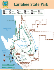
Larrabee State Park Map
Park map of Larrabee State Park, Washington.
65 miles away
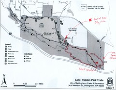
Lake Padden Park Trails Map
Course Elevation Map noted in handwriting on map. Festival location noted as well.
68 miles away
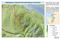
Bellingham Galbraith Mountain Biking Trail Map
Mountain biking trail map of Whatcom Falls Park near Bellingham, WA
69 miles away
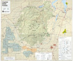
Capitol State Forest Map
69 miles away
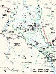
North Cascades National Park map
Official NPS map of North Cascades National Park, Washington. Shows the entire park and...
87 miles away
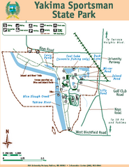
Yakima Sportsman State Park Map
Map of park with detail of trails and recreation zones
116 miles away
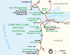
Lewis & Clark National Historic Trail...
Official NPS map of Lewis & Clark National Historic Trail in Oregon-Washington. Shows all areas...
133 miles away
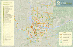
Bi-State Regional Trail System Plan Map
Shows plan for developing 37 Bi-State Regional Trails
150 miles away
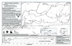
Forest Park Mountain Biking Map
Forest Park now includes over 5,100 wooded acres making it the largest, forested natural area...
152 miles away
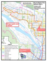
Portland, Oregon Bike Map
154 miles away
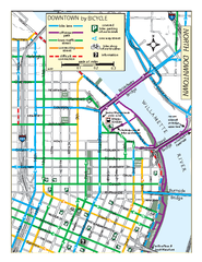
North Downtown Portland Bike Parking Map
Biking map of northern downtown Portland, Oregon. Shows bike paths, parking, and stores.
154 miles away
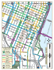
South Downtown Portland Bike Map
Biking map of southern downtown Portland, Oregon. Shows bike paths, bike parking, and bike shops.
154 miles away
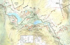
Whistler, CA Hiking and Biking Trails Map
168 miles away
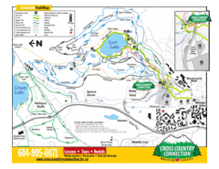
Lost Lake, Whistler Hiking and Biking Trail Map
169 miles away
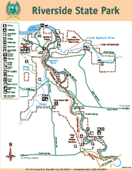
Riverside State Park Map
Map of park with detail of trails and recreation zones
219 miles away
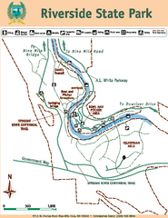
Riverside State Park Map
Map of park with detail of trails and recreation zones
219 miles away
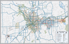
Spokane, Washington Bike Map
225 miles away
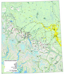
Chilcotin Mountains Trail System Map
Trail system map of the Chilcotin Mountains in BC, Canada "On the trail system map '...
244 miles away
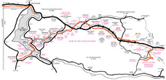
Trail of the Coeur d'Alenes Map
Shows the Trail of the Coeur d'Alenes, a 72 mile bike path that follows the Union Pacific...
276 miles away
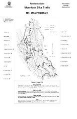
Mt. Macpherson Mountain Bike Trail Map
Mountain bike trail maps of Mt. Macpherson area and Mt. Mackenzie area right out of the town of...
288 miles away
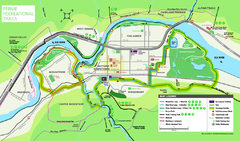
Fernie Town Trails Map
Trail map of recreational trails in and around town of Fernie, BC
351 miles away

Bear Creek Greenway Map
Trail map of the Bear Creek Greenway connecting Central Point to Ashland, Oregon. Will eventually...
375 miles away
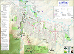
Ashland Trails Map
Trail map of Ashland, Oregon. Shows bicycle routes and public parks and trails.
384 miles away
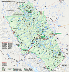
Glacier National Park official map
Glacier National Park official map.
391 miles away
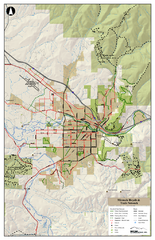
Missoula Bike Trails Map
Road and Mt. Bike trails with a bit of topology near Missoua
392 miles away
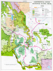
Continental Divide Scenic Trail Map
Guide to the Montana portion of the Continental Divide trail
464 miles away
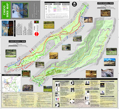
Upper and Lower Bidwell Park Bike Map
Bike map of Upper Bidwell Park and Lower Bidwell Park in Chico, California
550 miles away
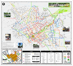
Chico Bike Map
Bicycle route map of Chico, California
552 miles away
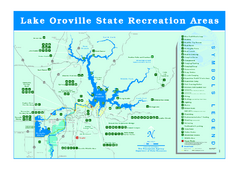
Lake Oroville State Recreation Area Map
Recreation overview map of Lake Oroville State Recreation Area near Oroville, California. Show all...
565 miles away

Van Damme State Park Map
Park map of Van Damme State Park near Mendocino, California. Show Fern Valley Trail through...
590 miles away

Rockville Hills Regional Park Map
Trail Map, Two small lakes, picnic areas
624 miles away
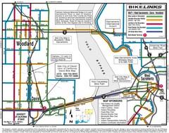
Davis, California BIke Map
636 miles away
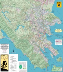
Marin, California Bike Map
668 miles away
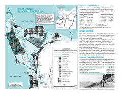
Point Pinole Regional Shoreline Map
673 miles away


 Explore Maps
 Map Directory
