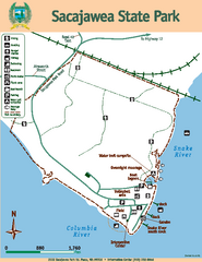
Sacajawea State Park Map
Map of park with detail of trails and recreation zones
0 miles away
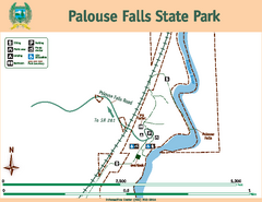
Palouse Falls State Park Map
Map of park with detail of trails and recreation zones
50 miles away
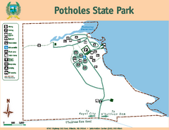
Potholes State Park Map
Map of park with detail of trails and recreation zones
56 miles away
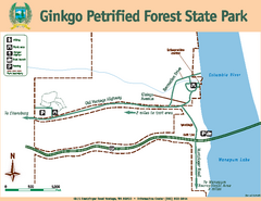
Ginkgo Petrified Forest State Park Map
Map of park with detail of trails and recreation zones
69 miles away
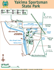
Yakima Sportsman State Park Map
Map of park with detail of trails and recreation zones
73 miles away
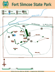
Fort Simcoe State Park Map
Map of park with detail of trails and recreation zones
87 miles away
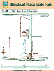
Olmstead Place State Park Map
Map of park with detail of trails and recreation zones
87 miles away
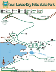
Sun Lakes-Dry Falls State Park Map
Map of park with detail of trails and recreation zones
97 miles away
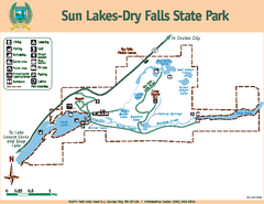
Sun Lakes-Dry Falls State Park Map
Map of park with detail of trails and recreation zones
97 miles away
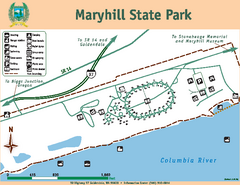
Maryhill State Park Map
Map of park with detail of trails and recreation zones
104 miles away
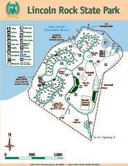
Lincoln Rock State Park Map
Map of park with detail of trails and recreation zones
104 miles away
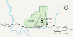
Clarno Unit John Day Fossils Beds National...
111 miles away
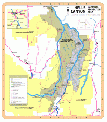
Hells Canyon National Recreation Area Map
Official Forest Service map of the Hells Canyon National Recreation Area. Shows roads, trails...
116 miles away
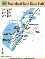
Steamboat Rock State Park Map
Map of park with detail of trails and recreation zones
119 miles away
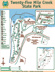
Twenty-Five Mile Creek State Park Map
Map of park with detail of trails and recreation zones
124 miles away
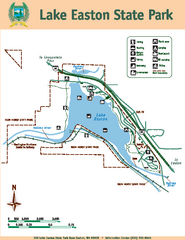
Lake Easton State Park Map
Map of island with detail of trails and recreation zones
125 miles away
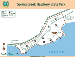
Spring Creek Hatchery State Park map
Map of park with detail of trails and recreation zones
126 miles away
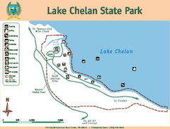
Lake Chelan State Park Map
Map of island with detail of trails and recreation zones
128 miles away
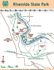
Riverside State Park Map
Map of park with detail of trails and recreation zones
130 miles away
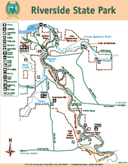
Riverside State Park Map
Map of park with detail of trails and recreation zones
130 miles away
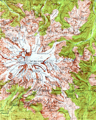
Mount Rainier Topographic Map
Guide to topography and glaciers of Mount Rainier
133 miles away
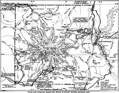
1928 Mount Rainier National Park Map
Guide to Mount Rainier National Park in 1938
135 miles away
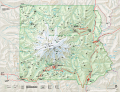
Mount Rainier National Park map
Official NPS map of Mt. Rainier National Park. Shows the entire park and surroundings
136 miles away
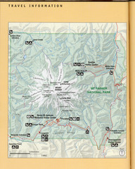
Mount Rainier National Park Map
Guide to the Mount Rainier National Park
136 miles away
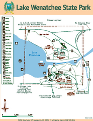
Lake Wenatchee State Park Map
Map of island with detail of trails and recreation zones
137 miles away
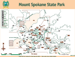
Mount Spokane State Park Map
Map of park with detail of trails and recreation zones
149 miles away
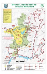
Mt. Saint Helens National Volcanic Monument...
Official recreation map showing all roads, trails, campgrounds, and other facilities. Also shows...
150 miles away
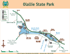
Olallie State Park Map
Map of park with detail of trails and recreation zones
150 miles away
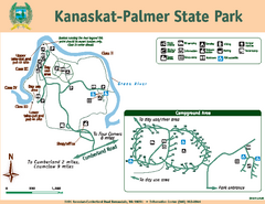
Kanaskat-Palmer State Park Map
Map of park with detail of trails and recreation zones
156 miles away
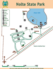
Nolte State Park Map
Map of park with detail of trails and recreation zones
156 miles away
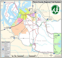
Pierce County Regional Trail Map
County-wide system of trails
158 miles away
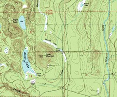
Fuller Mountain Topo Map
Fuller Mountain map with lakes, mountains and elevations identified.
160 miles away
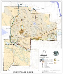
Snoqualmie Trail Map
Shows both soft surface and paved trails for biking, running/hiking/wailking, and horseback riding
160 miles away
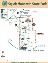
Squak Mountain State Park Map
Map of park with detail of trails and recreation zones
168 miles away
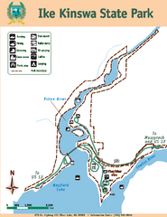
Ike Kinswa State Park Map
Map of park with detail of trails and recreation zones
169 miles away
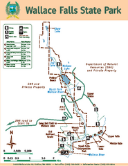
Wallace Falls State Park Map
Map of park with detail of trails and recreation zones
169 miles away
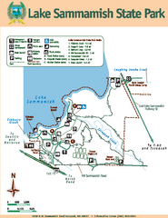
Lake Sammamish State Park Map
Map of island with detail of trails and recreation zones
171 miles away
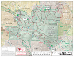
Cougar Mountain Park Trail Map
Trail map of Cougar Mountain Regional Wildland Park, part of the "Issaquah Alps"
171 miles away
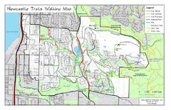
Newcastle Trails Trail Map
Trail map of existing and proposed trails in Newcastle, WA
174 miles away
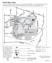
Powell Butte Nature Park Trail Map
Trail map of Powell Butte Nature Park. Shows over 9 miles of trails
174 miles away


 Explore Maps
 Map Directory
