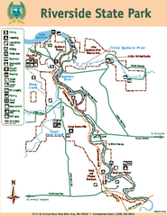
Riverside State Park Map
Map of park with detail of trails and recreation zones
0 miles away
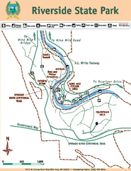
Riverside State Park Map
Map of park with detail of trails and recreation zones
less than 1 mile away
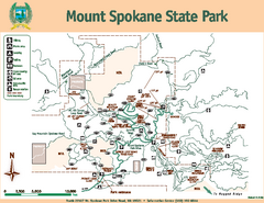
Mount Spokane State Park Map
Map of park with detail of trails and recreation zones
22 miles away
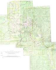
Mount Spokane Trail Map
Contour map of Mount Spokane
22 miles away
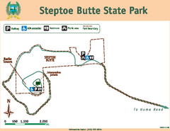
Steptoe Butt State Park Map
Map of park with detail of trails and recreation zones
53 miles away
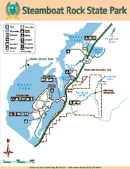
Steamboat Rock State Park Map
Map of park with detail of trails and recreation zones
71 miles away
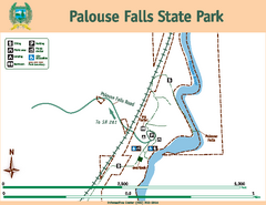
Palouse Falls State Park Map
Map of park with detail of trails and recreation zones
84 miles away
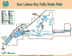
Sun Lakes-Dry Falls State Park Map
Map of park with detail of trails and recreation zones
86 miles away
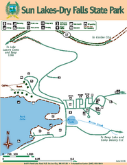
Sun Lakes-Dry Falls State Park Map
Map of park with detail of trails and recreation zones
86 miles away
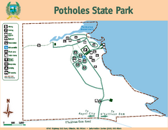
Potholes State Park Map
Map of park with detail of trails and recreation zones
101 miles away
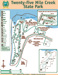
Twenty-Five Mile Creek State Park Map
Map of park with detail of trails and recreation zones
119 miles away
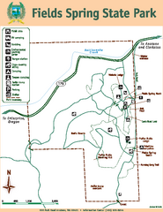
Fields Spring State Park Map
Map of park with detail of trails and recreation zones
119 miles away
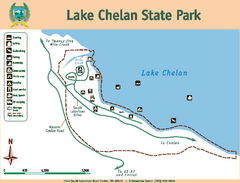
Lake Chelan State Park Map
Map of island with detail of trails and recreation zones
123 miles away
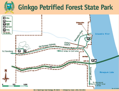
Ginkgo Petrified Forest State Park Map
Map of park with detail of trails and recreation zones
129 miles away
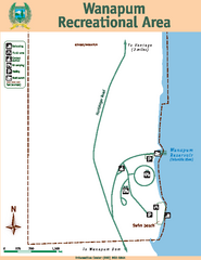
Wanapum Recreational Area Map
Map of park with detail of trails and recreation zones
130 miles away
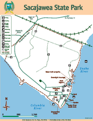
Sacajawea State Park Map
Map of park with detail of trails and recreation zones
130 miles away
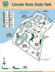
Lincoln Rock State Park Map
Map of park with detail of trails and recreation zones
131 miles away
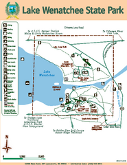
Lake Wenatchee State Park Map
Map of island with detail of trails and recreation zones
148 miles away
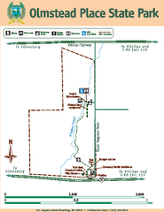
Olmstead Place State Park Map
Map of park with detail of trails and recreation zones
148 miles away
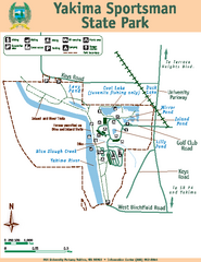
Yakima Sportsman State Park Map
Map of park with detail of trails and recreation zones
160 miles away
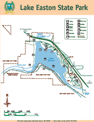
Lake Easton State Park Map
Map of island with detail of trails and recreation zones
174 miles away
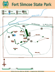
Fort Simcoe State Park Map
Map of park with detail of trails and recreation zones
184 miles away
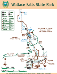
Wallace Falls State Park Map
Map of park with detail of trails and recreation zones
191 miles away
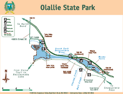
Olallie State Park Map
Map of park with detail of trails and recreation zones
193 miles away
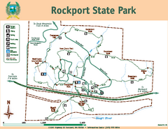
Rockport State Park Map
Map of park with detail of trails and recreation zones
194 miles away
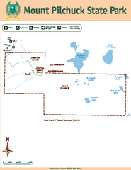
Mount Pilchuck State Park Map
Map of park with detail of trails and recreation zones
198 miles away
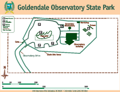
Goldendale State Park Map
Map of park with detail of trails and recreation zones
205 miles away
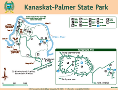
Kanaskat-Palmer State Park Map
Map of park with detail of trails and recreation zones
206 miles away
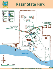
Rasar State Park Map
Map of park with detail of trails and recreation zones
208 miles away
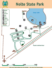
Nolte State Park Map
Map of park with detail of trails and recreation zones
208 miles away
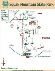
Squak Mountain State Park Map
Map of park with detail of trails and recreation zones
211 miles away
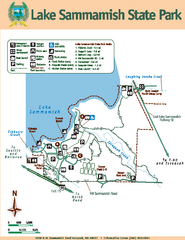
Lake Sammamish State Park Map
Map of island with detail of trails and recreation zones
211 miles away
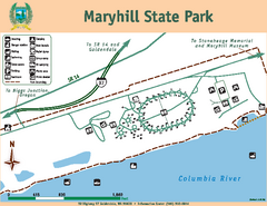
Maryhill State Park Map
Map of park with detail of trails and recreation zones
211 miles away
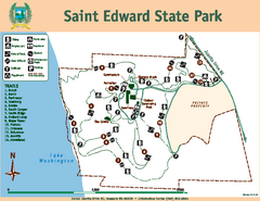
Saint Edward State Park Map
Map of park with detail of trails and recreation zones
219 miles away
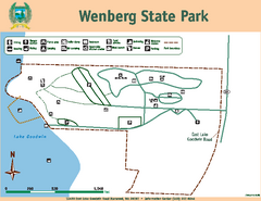
Wenberg State Park Map
Map of park with detail of trails and recreation zones
221 miles away
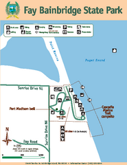
Fay Bainbridge State Park Map
Map of park with detail of trails and recreation zones
231 miles away
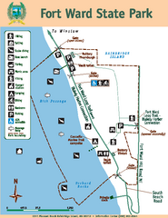
Fort Ward State Park Map
Map of park with detail of trails and recreation zones
232 miles away
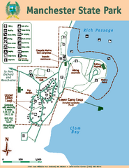
Manchester State Park Map
Map of park with detail of trails and recreation zones
234 miles away
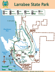
Larrabee State Park Map
Map of island with detail of trails and recreation zones
235 miles away
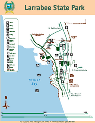
Larrabee State Park Map
Map of island with detail of trails and recreation zones
235 miles away


 Explore Maps
 Map Directory
