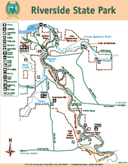
Riverside State Park Map
Map of park with detail of trails and recreation zones
0 miles away
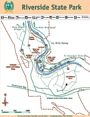
Riverside State Park Map
Map of park with detail of trails and recreation zones
less than 1 mile away
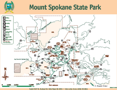
Mount Spokane State Park Map
Map of park with detail of trails and recreation zones
22 miles away
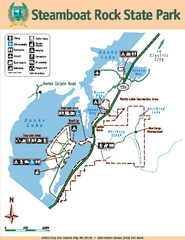
Steamboat Rock State Park Map
Map of park with detail of trails and recreation zones
71 miles away
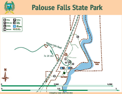
Palouse Falls State Park Map
Map of park with detail of trails and recreation zones
84 miles away
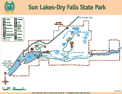
Sun Lakes-Dry Falls State Park Map
Map of park with detail of trails and recreation zones
86 miles away
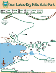
Sun Lakes-Dry Falls State Park Map
Map of park with detail of trails and recreation zones
86 miles away
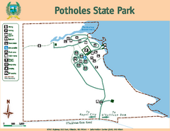
Potholes State Park Map
Map of park with detail of trails and recreation zones
101 miles away

Kettle Valley Trails Map
Map of Kettle Valley Trails. Includes all trails, streets, and attractions.
111 miles away
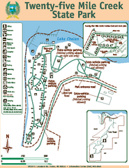
Twenty-Five Mile Creek State Park Map
Map of park with detail of trails and recreation zones
119 miles away
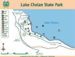
Lake Chelan State Park Map
Map of island with detail of trails and recreation zones
123 miles away
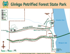
Ginkgo Petrified Forest State Park Map
Map of park with detail of trails and recreation zones
129 miles away
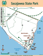
Sacajawea State Park Map
Map of park with detail of trails and recreation zones
130 miles away
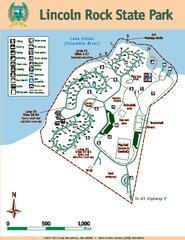
Lincoln Rock State Park Map
Map of park with detail of trails and recreation zones
131 miles away
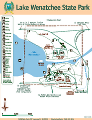
Lake Wenatchee State Park Map
Map of island with detail of trails and recreation zones
148 miles away
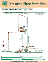
Olmstead Place State Park Map
Map of park with detail of trails and recreation zones
148 miles away
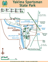
Yakima Sportsman State Park Map
Map of park with detail of trails and recreation zones
160 miles away
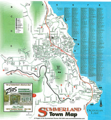
Summerland Town Map
Map of Summerland with details on outdoor-recreation locations and streets
160 miles away
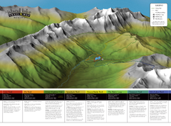
Island Lake Hiking Map
Hiking trail map of Island Lake area near Fernie, BC
161 miles away
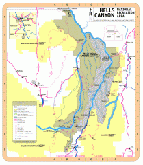
Hells Canyon National Recreation Area Map
Official Forest Service map of the Hells Canyon National Recreation Area. Shows roads, trails...
164 miles away
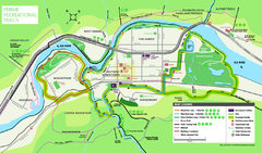
Fernie Town Trails Map
Trail map of recreational trails in and around town of Fernie, BC
165 miles away
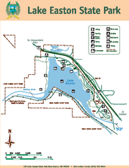
Lake Easton State Park Map
Map of island with detail of trails and recreation zones
174 miles away
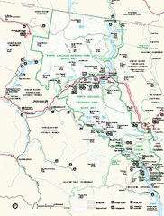
North Cascades National Park map
Official NPS map of North Cascades National Park, Washington. Shows the entire park and...
177 miles away
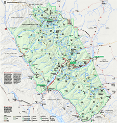
Glacier National Park official map
Glacier National Park official map.
180 miles away
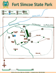
Fort Simcoe State Park Map
Map of park with detail of trails and recreation zones
184 miles away
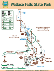
Wallace Falls State Park Map
Map of park with detail of trails and recreation zones
191 miles away
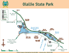
Olallie State Park Map
Map of park with detail of trails and recreation zones
193 miles away
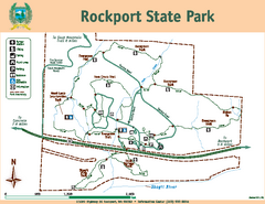
Rockport State Park Map
Map of park with detail of trails and recreation zones
194 miles away
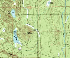
Fuller Mountain Topo Map
Fuller Mountain map with lakes, mountains and elevations identified.
196 miles away
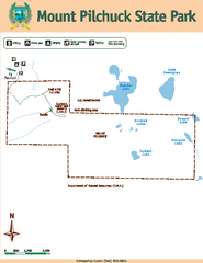
Mount Pilchuck State Park Map
Map of park with detail of trails and recreation zones
198 miles away
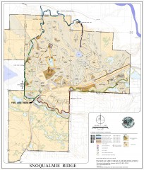
Snoqualmie Trail Map
Shows both soft surface and paved trails for biking, running/hiking/wailking, and horseback riding
200 miles away
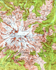
Mount Rainier Topographic Map
Guide to topography and glaciers of Mount Rainier
204 miles away
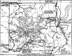
1928 Mount Rainier National Park Map
Guide to Mount Rainier National Park in 1938
205 miles away
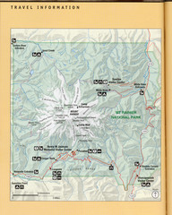
Mount Rainier National Park Map
Guide to the Mount Rainier National Park
206 miles away
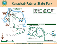
Kanaskat-Palmer State Park Map
Map of park with detail of trails and recreation zones
206 miles away
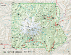
Mount Rainier National Park map
Official NPS map of Mt. Rainier National Park. Shows the entire park and surroundings
206 miles away
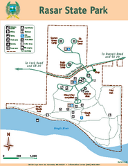
Rasar State Park Map
Map of park with detail of trails and recreation zones
208 miles away
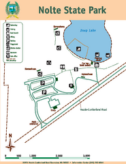
Nolte State Park Map
Map of park with detail of trails and recreation zones
208 miles away
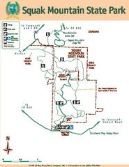
Squak Mountain State Park Map
Map of park with detail of trails and recreation zones
211 miles away
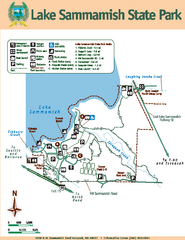
Lake Sammamish State Park Map
Map of island with detail of trails and recreation zones
211 miles away


 Explore Maps
 Map Directory
