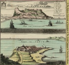
1733 Gibraltar Map
Historic illustration and map of Gibraltar
0 miles away
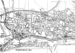
Shoreham-by-Sea, England City Map
1047 miles away
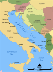
Adriatic Sea Tourist Map
1274 miles away
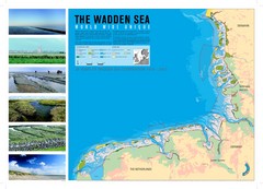
Wadden Sea Map
Map of Wadden Sea area and trilateral conservation area. Consists of lands and waters in The...
1363 miles away
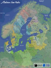
Baltic Sea River Basins Map
Map of the river basins feeding the Baltic Sea from the surrounding countries in Coalition Clean...
1969 miles away
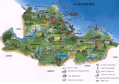
Samsun Tourist Map
Tourist map of Samsun, Turkey area on the Black Sea. Shows points of interest.
2243 miles away
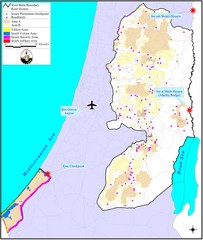
Israel Military Map
Map that describes military activities including check points, security zones, and road blocks.
2295 miles away
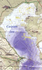
Northern Caspian Sea Map
2893 miles away
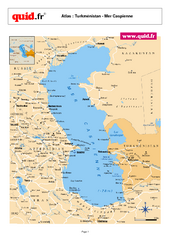
Caspian Sea Map
Map of Caspian Sea and surrounding region
2972 miles away
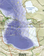
Southen Caspian Sea Oil Claims Map
3032 miles away
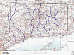
Connecticut Rivers and Coastal Paddling Map
This is a map of paddling areas for rivers and coastal kayaking. Follow the link below for...
3550 miles away
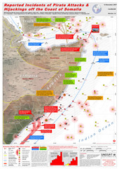
Somali Pirate Attacks Map as of Dec 12, 2007
Shows reported incidents of pirate attacks and hijackings off the coast of Somalia from Jan 2005...
3860 miles away
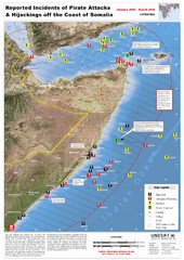
Pirate Attacks off Coast of Somalia Map
Shows reported incidents of pirate attacks and hijackings off the coast of Somalia from January...
3869 miles away
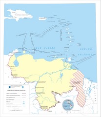
Official boundaries of Venezuela Map
All the official boundaries of Venezuela including the maritime ones.
4367 miles away
Belize Hurricane Tracking Map
Hurricane Tracking Map for Belize, Central America. Includes warning flags and their meanings.
4372 miles away
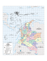
Official boundaries of Colombia Map
All the official boundaries of Colombia including the maritime ones.
4843 miles away
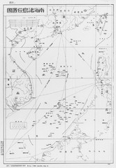
South China Sea Islands Map
7363 miles away
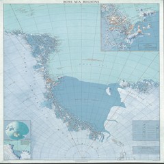
Ross Sea Regions Map
Physical relief map of the Ross Sea regions. Shows Victoria Land, Ross Sea, McMurdo Sound, Ross Ice...
9587 miles away
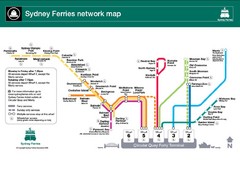
Sydney Ferries Map
Map of Sydney Ferry system with details of lines and stops
11115 miles away


 Explore Maps
 Map Directory
