
Phillips Exeter Academy Campus Map
Phillips Exeter Academy Campus Map
0 miles away
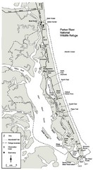
Parker River Map
Map of Parker River National Wildlife Refuge for birdlife
15 miles away
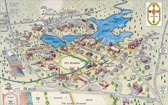
St. Paul's School Campus Map
Campus map of St. Paul's School
35 miles away
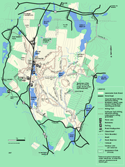
Leominster State Forest trail map
Trail map of Leominster State Forest in Massachusetts
56 miles away
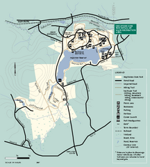
Hopkinton State Park trail map
Trail map of Hopkinton State Park in Massachusetts
58 miles away
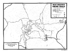
Mount Monadnock State Park Map
Official hiking map of the park. With its thousands of acres of protected highlands, 3,165-ft...
59 miles away
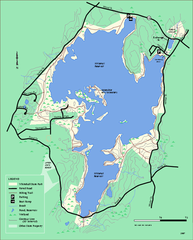
Whitehall State Park trail map
Trail map of Whitehall State Park in Massachusetts.
61 miles away
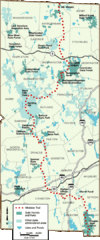
Midstate Trail Map
Map of the Midstate Trail, which runs from Ashburnham to the Rhode Island border. Shows state...
62 miles away
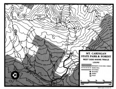
Cardigan State Park map
Topographical map of West Side hiking trails in Cardigan State Park in New Hampshire.
67 miles away
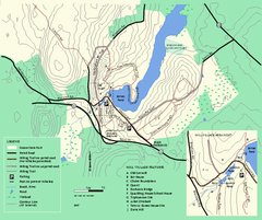
Moore State Park trail map
Trail map of Moore State Park in Massachusetts.
69 miles away
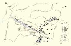
Purgatory Chasm State Reservation trail map
Trail map of Purgatory Chasm State Reservation in Massachusetts.
70 miles away
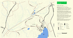
Douglas State Park Detail Map
77 miles away
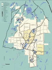
Myles Standish State Forest summer trail map
Map of all the trails and roads in Myles Standish State Park, MA. 15 miles of bicycle trails, 35...
79 miles away
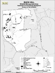
Buck Hill Wildlife Management Area Map
81 miles away
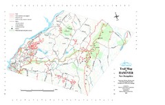
Hanover Trail Map
Recreation trails in Hanover
84 miles away
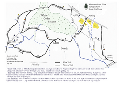
Sprague Farm - Glocester Land Trust Map
84 miles away
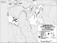
Durfee Hill Wildlife Management Area Map
84 miles away
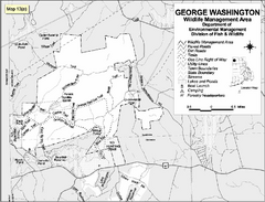
George Washington Wildlife Management Area Map
84 miles away
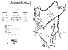
Pulaski State Park Map
85 miles away
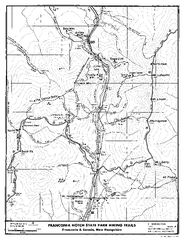
Franconia Notch Hiking Map
Map of hiking trails around Fanconia Notch State Park New Hampshire.
88 miles away
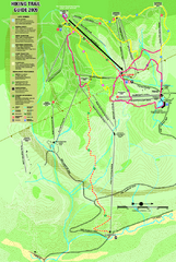
Killington Hiking Trail Map
Hiking trail map of Killington Ski Area summer trails. Shows life zones and geologic features.
103 miles away
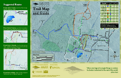
Equinox Preservation Trail map
Trail map of the Equinox Preservation Trust in Manchester, VT. The Equinox Preservation is over...
109 miles away
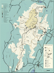
Mt. Greylock State Reservation map
Official summer map of the Mount Greylock State Reservation. At 3,491 feet, Mount Greylock is the...
115 miles away
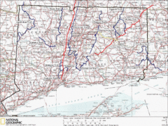
Connecticut Long Distance Trails Map
A map of long distance trails throughout Connecticut. Go to the website below for detailed trail...
123 miles away
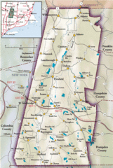
Berkshires Map
Overview map of the Berkshires region of Western Massachusetts
124 miles away
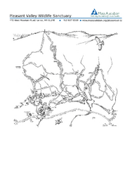
Pleasant Valley Wildlife Sanctuary Trail Map
Trail map of Pleasant Valley Wildlife Sanctuary
126 miles away
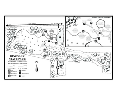
Dinosaur State Park map
Trail map of Dinosaur State Park in Connecticut.
127 miles away
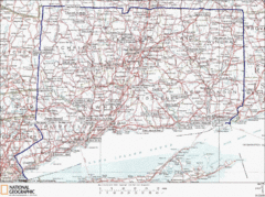
Connecticut State Parks Map
This is statewide map for Connecticut state parks. Go to the source website for detailed hiking...
130 miles away
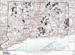
Connecticut State Forests Map
This is a map of all of the state forest boundaries in Connecticut. Follow the source web address...
132 miles away
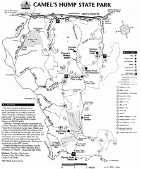
Camel's Hump State Park map
Map of Camel's Hump State Park, Vermont. Shows all hiking, snowmobile, and X-C ski trails...
134 miles away
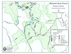
South Mohawk Mountain State Forest (Summer Trails...
Summer trails for South Mohawk State Forest in Connecticut.
145 miles away
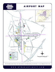
Albany International Airport Map
Official Map of the Albany International Airport in New York. Shows all terminals.
146 miles away
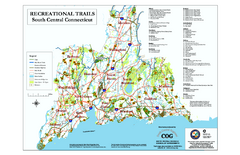
South Central Connecticut Recreational Trail Map
Map of South Central Connecticut showing all recreational trails and open spaces.
150 miles away
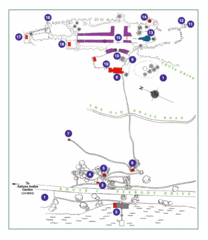
Thuya Garden Map
1. Parking 2. Asticou Terraces Landing 3. Joseph H. Curtis Memorial 4. Stone Lookout 5. Second...
161 miles away
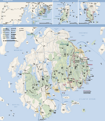
Acadia National Park Map
Official map of Acadia National Park, Maine. "Except for one mainland section, Acadia...
162 miles away
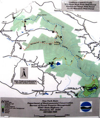
Northern Catskill Trail Map
Trail map shows hiking trails in the northern Catskills of New York. Shows trails in Windham High...
169 miles away
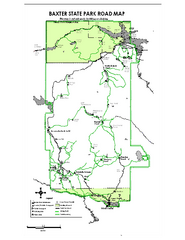
Baxter State Park overview map
Overview map of Baxter State Park. There are 46 mountain peaks and ridges, 18 of which exceed an...
233 miles away
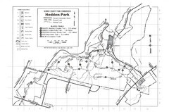
Hedden Park Map
Hedden County Park Trail Map
237 miles away
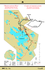
Kejimkujik National Park Map
Official Parks Canada map of Kejimkujik National Park, Nova Scotia. Shows lakes, trails, campsites...
302 miles away
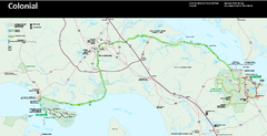
Colonial National Historical Park Official Map
Official NPS map of Colonial National Historical Park in Virginia. The Historic Jamestowne...
306 miles away


 Explore Maps
 Map Directory
