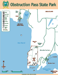
Obstruction Pass State Park Map
Map of park with detail of trails and recreation zones
0 miles away
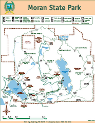
Moran State Park Map
Map of park with detail of trails and recreation zones
4 miles away
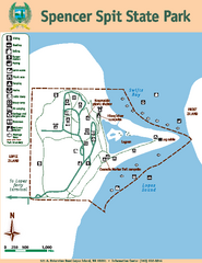
Spencer Spit State Park Map
Map of park with detail of trails and recreation zones
5 miles away
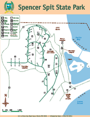
Spencer Spit State Park Map
Map of park with detail of trails and recreation zones
5 miles away
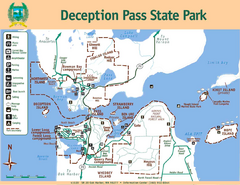
Deception Pass State Park Map
Map of park with detail of trails and recreation zones
16 miles away
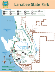
Larrabee State Park Map
Park map of Larrabee State Park, Washington.
16 miles away
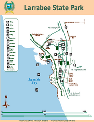
Larrabee State Park Map
Map of island with detail of trails and recreation zones
16 miles away
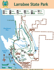
Larrabee State Park Map
Map of island with detail of trails and recreation zones
16 miles away
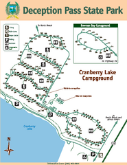
Deception Pass State Park Map
Map of park with detail of trails and recreation zones
17 miles away
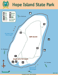
Hope Island State Park Map
Map of park with detail of trails and recreation zones
17 miles away
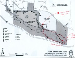
Lake Padden Park Trails Map
Course Elevation Map noted in handwriting on map. Festival location noted as well.
19 miles away
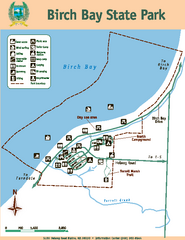
Birch Bay State Park Map
Map of park with detail of trails and recreation zones
21 miles away
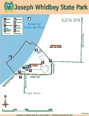
Joseph Whidbey State Park Map
Map of park with detail of trails and recreation zones
21 miles away
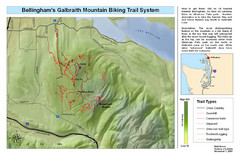
Bellingham Galbraith Mountain Biking Trail Map
Mountain biking trail map of Whatcom Falls Park near Bellingham, WA
22 miles away
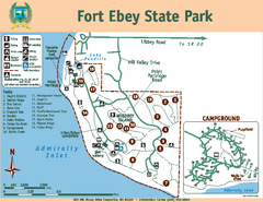
Fort Ebey State Park Map
Map of park with detail of trails and recreation zones
26 miles away
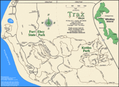
Ft Ebey/Kettle Park Trail Map
Trail map of Fort Ebey Park and Kettle Park, Washington
27 miles away
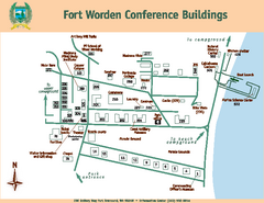
Fort Worden Conference Buildings Map
Map of conference buildings in Fort Worden State Park
32 miles away
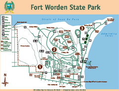
Fort Worden State Park Map
Map of park with detail of trails and recreation zones
32 miles away
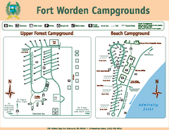
Fort Worden Campgrounds Map
Map of park campgrounds
32 miles away
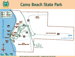
Cama Beach State Park Map
Map of park with detail of trails and recreation zones
32 miles away
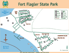
Fort Flagler State Park Map
Map of park with detail of trails and recreation zones
35 miles away
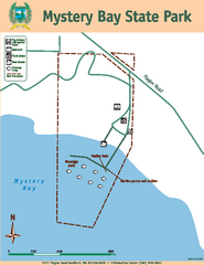
Mystery Bay State Park Map
Map of park with detail of trails and recreation zones
38 miles away
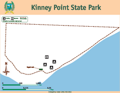
Kinney Point State Park Map
Map of island with detail of trails and recreation zones
38 miles away
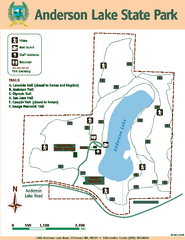
Anderson Lake State Park Map
Map of park and trails
40 miles away
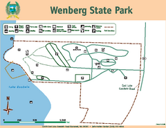
Wenberg State Park Map
Map of park with detail of trails and recreation zones
41 miles away
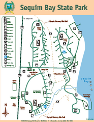
Sequim Bay State Park Map
Map of park with detail of trails and recreation zones
41 miles away
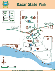
Rasar State Park Map
Map of park with detail of trails and recreation zones
42 miles away
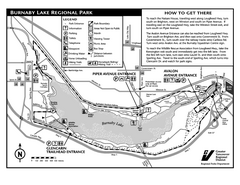
Burnaby Lake Park Trail Map
Trail map of Burnaby Lake Park in Vancouver, BC
45 miles away
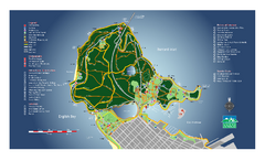
Stanley Park Map
Overview trail map of Stanley Park in Vancouver, BC.
51 miles away
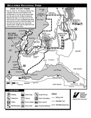
Belcarra Regional Park Trail Map
Trail map of Belcarra Regional Park, BC
51 miles away
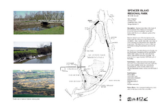
Spencer Island Park map
52 miles away
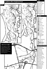
Capilano River Park Trail Map
Trail map of Capilano River Regional Park near Vancouver, BC
53 miles away

Centennial Trail Map
Centennial Trail has 23 miles completed (Snohomish to Bryant) with more in progress.
54 miles away
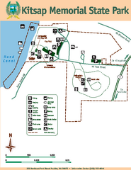
Kitsap Memorial State Park Map
Map of island with detail of trails and recreation zones
55 miles away

Centennial Trail Map
55 miles away
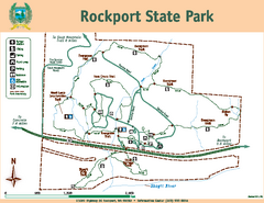
Rockport State Park Map
Map of park with detail of trails and recreation zones
56 miles away
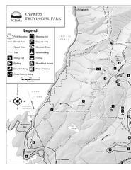
Cypress Provincial Park Map
Park map of Cypress Provincial Park, BC. Home of the North Shore Mountains. 2 pages.
58 miles away
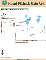
Mount Pilchuck State Park Map
Map of park with detail of trails and recreation zones
60 miles away
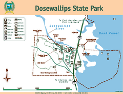
Dosewallips State Park Map
Map of park with detail of trails and recreation zones
63 miles away
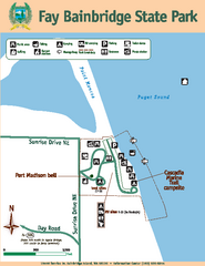
Fay Bainbridge State Park Map
Map of park with detail of trails and recreation zones
64 miles away


 Explore Maps
 Map Directory
