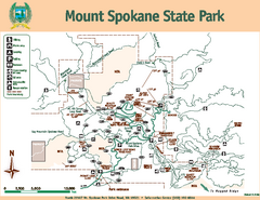
Mount Spokane State Park Map
Map of park with detail of trails and recreation zones
0 miles away
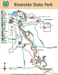
Riverside State Park Map
Map of park with detail of trails and recreation zones
22 miles away
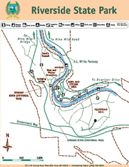
Riverside State Park Map
Map of park with detail of trails and recreation zones
22 miles away
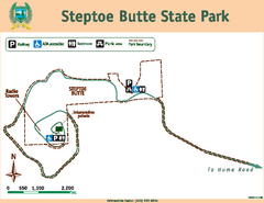
Steptoe Butt State Park Map
Map of park with detail of trails and recreation zones
62 miles away

City of Trail BC Map
Map of city of Trail, BC on the Columbia River
85 miles away
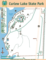
Curlew Lake State Park Map
Map of park with detail of trails and recreation zones
86 miles away
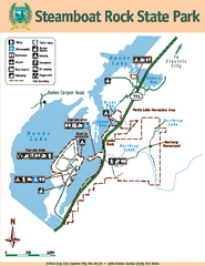
Steamboat Rock State Park Map
Map of park with detail of trails and recreation zones
90 miles away
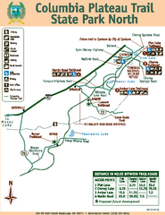
Columbia Plateau Trail State Park North Map
Map of park with detail of trails and recreation zones
98 miles away
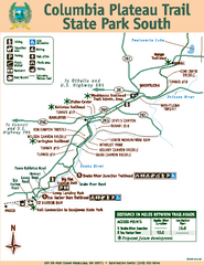
Columbia Plateau Trail State Park South Map
Map of park with detail of trails and recreation zones
98 miles away
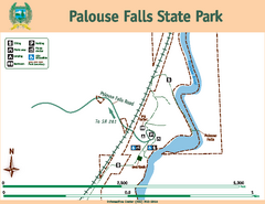
Palouse Falls State Park Map
Map of park with detail of trails and recreation zones
102 miles away
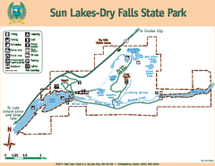
Sun Lakes-Dry Falls State Park Map
Map of park with detail of trails and recreation zones
107 miles away
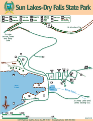
Sun Lakes-Dry Falls State Park Map
Map of park with detail of trails and recreation zones
107 miles away
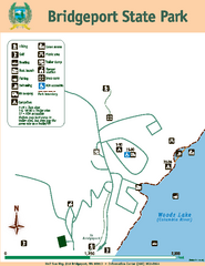
Bridgeport State Park Map
Map of park with detail of trails and recreation zones
116 miles away
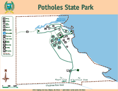
Potholes State Park Map
Map of park with detail of trails and recreation zones
123 miles away
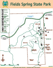
Fields Spring State Park Map
Map of park with detail of trails and recreation zones
128 miles away
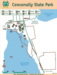
Conconully State Park Map
Map of park with detail of trails and recreation zones
129 miles away
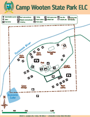
Camp Wooten State Park Map
Map of park with detail of trails and recreation zones
138 miles away
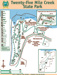
Twenty-Five Mile Creek State Park Map
Map of park with detail of trails and recreation zones
139 miles away
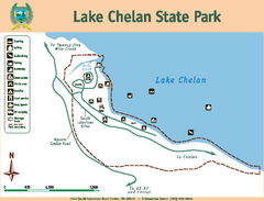
Lake Chelan State Park Map
Map of island with detail of trails and recreation zones
143 miles away
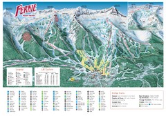
Fernie Mountain Trail Map
145 miles away
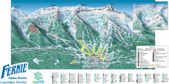
Fernie Mountain Trail Map
145 miles away
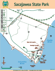
Sacajawea State Park Map
Map of park with detail of trails and recreation zones
149 miles away
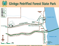
Ginkgo Petrified Forest State Park Map
Map of park with detail of trails and recreation zones
151 miles away
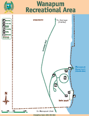
Wanapum Recreational Area Map
Map of park with detail of trails and recreation zones
152 miles away
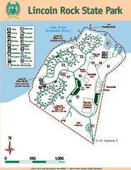
Lincoln Rock State Park Map
Map of park with detail of trails and recreation zones
152 miles away
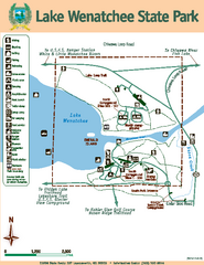
Lake Wenatchee State Park Map
Map of island with detail of trails and recreation zones
167 miles away
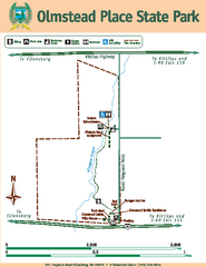
Olmstead Place State Park Map
Map of park with detail of trails and recreation zones
170 miles away
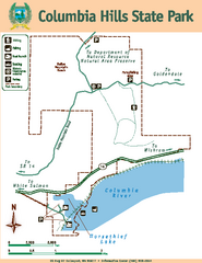
Columbia Hills State Park Map
Map of park with detail of trails and recreation zones
179 miles away
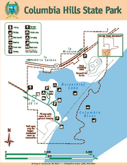
Columbia Hills State Park Map
Map of park with detail of trails and recreation zones
179 miles away
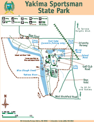
Yakima Sportsman State Park Map
Map of park with detail of trails and recreation zones
182 miles away
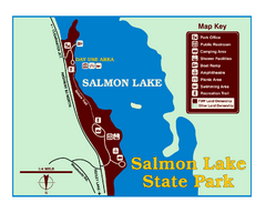
Salmon Lake State Park Map
Immediately adjacent to Montana 83, this park is an access point to one of the beautiful lakes in...
183 miles away
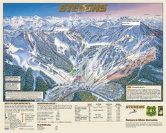
Stevens Pass Trail Map
184 miles away
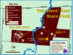
Travelers' Rest State Park Map
The Lewis and Clark expedition camped here twice during their historic journey to locate the...
186 miles away
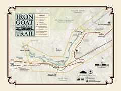
Iron Goat Trail Map
189 miles away
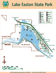
Lake Easton State Park Map
Map of island with detail of trails and recreation zones
196 miles away
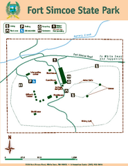
Fort Simcoe State Park Map
Map of park with detail of trails and recreation zones
206 miles away
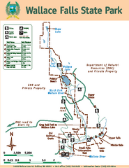
Wallace Falls State Park Map
Map of park with detail of trails and recreation zones
210 miles away
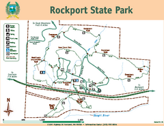
Rockport State Park Map
Map of park with detail of trails and recreation zones
211 miles away
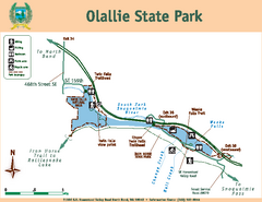
Olallie State Park Map
Map of park with detail of trails and recreation zones
214 miles away
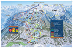
Revelstoke Ski Trail Map - Front side
Ski trail map of front side of Revelstoke ski area in Revelstoke, Canada from the 2008-2009 season.
215 miles away


 Explore Maps
 Map Directory
