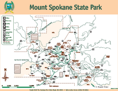
Mount Spokane State Park Map
Map of park with detail of trails and recreation zones
0 miles away
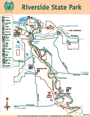
Riverside State Park Map
Map of park with detail of trails and recreation zones
22 miles away
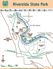
Riverside State Park Map
Map of park with detail of trails and recreation zones
22 miles away
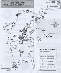
Little Pend Oreille Off Road Vehicle (ORV) Area...
Map of the Off Road Vehicle Area in Little Pend Oreille, Washington. Includes all bike trails...
48 miles away
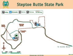
Steptoe Butt State Park Map
Map of park with detail of trails and recreation zones
62 miles away
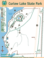
Curlew Lake State Park Map
Map of park with detail of trails and recreation zones
86 miles away
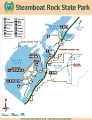
Steamboat Rock State Park Map
Map of park with detail of trails and recreation zones
90 miles away
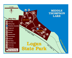
Logan State Park Map
With frontage on the north shore of Middle Thompson Lake, Logan is heavily forested with western...
95 miles away
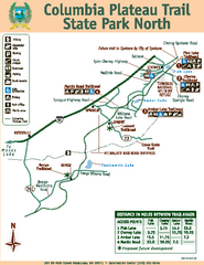
Columbia Plateau Trail State Park North Map
Map of park with detail of trails and recreation zones
98 miles away
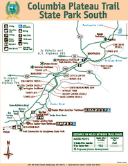
Columbia Plateau Trail State Park South Map
Map of park with detail of trails and recreation zones
98 miles away
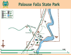
Palouse Falls State Park Map
Map of park with detail of trails and recreation zones
102 miles away
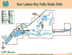
Sun Lakes-Dry Falls State Park Map
Map of park with detail of trails and recreation zones
107 miles away
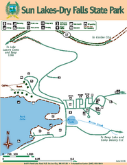
Sun Lakes-Dry Falls State Park Map
Map of park with detail of trails and recreation zones
107 miles away
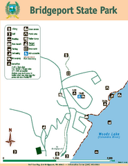
Bridgeport State Park Map
Map of park with detail of trails and recreation zones
116 miles away
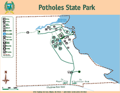
Potholes State Park Map
Map of park with detail of trails and recreation zones
123 miles away
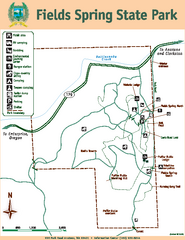
Fields Spring State Park Map
Map of park with detail of trails and recreation zones
128 miles away
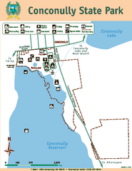
Conconully State Park Map
Map of park with detail of trails and recreation zones
129 miles away
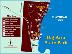
Big Arm State Park Map
Clear map and map key of Park camping grounds.
131 miles away
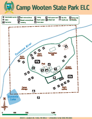
Camp Wooten State Park Map
Map of park with detail of trails and recreation zones
138 miles away
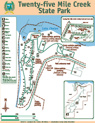
Twenty-Five Mile Creek State Park Map
Map of park with detail of trails and recreation zones
139 miles away
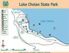
Lake Chelan State Park Map
Map of island with detail of trails and recreation zones
143 miles away
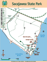
Sacajawea State Park Map
Map of park with detail of trails and recreation zones
149 miles away
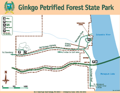
Ginkgo Petrified Forest State Park Map
Map of park with detail of trails and recreation zones
151 miles away
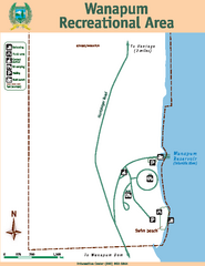
Wanapum Recreational Area Map
Map of park with detail of trails and recreation zones
152 miles away
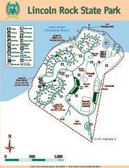
Lincoln Rock State Park Map
Map of park with detail of trails and recreation zones
152 miles away
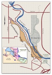
JackRabbit Ridge Natural Area Map
Shows urban wildlands
153 miles away
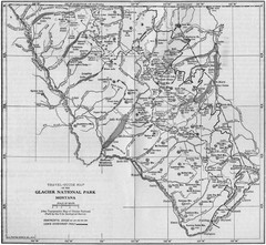
1915 Glacier National Park Map
Historical map of Glacier National Park in Montana.
157 miles away
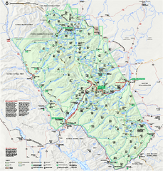
Glacier National Park official map
Glacier National Park official map.
158 miles away
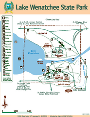
Lake Wenatchee State Park Map
Map of island with detail of trails and recreation zones
167 miles away
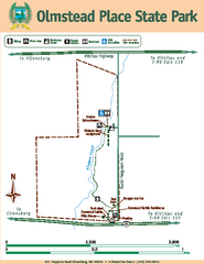
Olmstead Place State Park Map
Map of park with detail of trails and recreation zones
170 miles away
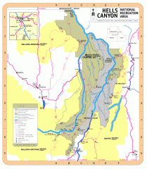
Hells Canyon National Recreation Area Map
Official Forest Service map of the Hells Canyon National Recreation Area. Shows roads, trails...
171 miles away
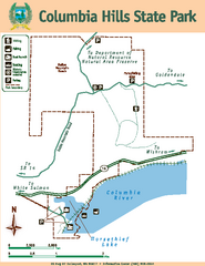
Columbia Hills State Park Map
Map of park with detail of trails and recreation zones
179 miles away
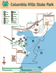
Columbia Hills State Park Map
Map of park with detail of trails and recreation zones
179 miles away
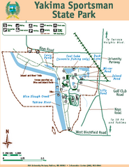
Yakima Sportsman State Park Map
Map of park with detail of trails and recreation zones
182 miles away
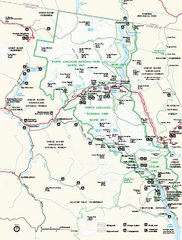
North Cascades National Park map
Official NPS map of North Cascades National Park, Washington. Shows the entire park and...
192 miles away
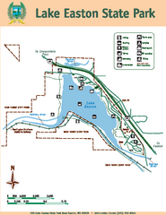
Lake Easton State Park Map
Map of island with detail of trails and recreation zones
196 miles away
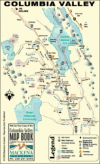
Columbia Valley Map
Easy to follow map and legend of this wilderness area.
198 miles away
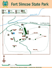
Fort Simcoe State Park Map
Map of park with detail of trails and recreation zones
206 miles away
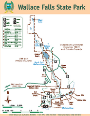
Wallace Falls State Park Map
Map of park with detail of trails and recreation zones
210 miles away
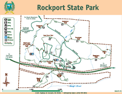
Rockport State Park Map
Map of park with detail of trails and recreation zones
211 miles away


 Explore Maps
 Map Directory
