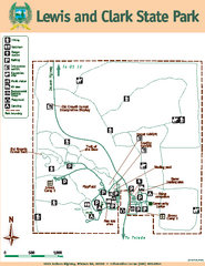
Lewis and Clark State Park Map
Map of park with detail of recreation zones and trails
0 miles away
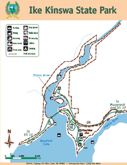
Ike Kinswa State Park Map
Map of park with detail of trails and recreation zones
14 miles away
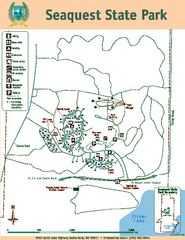
Seaquest State Park Map
Map of park with detail of trails and recreation zones
16 miles away
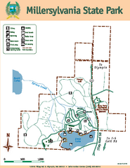
Millersylvania State Park Map
Map of park with detail of trails and recreation zones
27 miles away
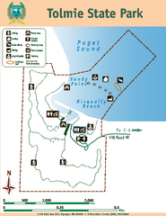
Tolmie State Park Map
Map of park with detail of trails and recreation zones
41 miles away
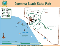
Joemma Beach State Park Map
Map of park with detail of trails and recreation zones
48 miles away
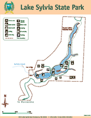
Lake Sylvia State Park Map
Map of island with detail of trails and recreation zones
49 miles away
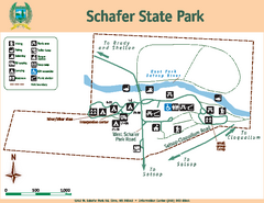
Schafer State Park Map
Map of park with detail of trails and recreation zones
50 miles away
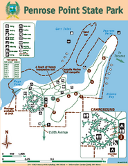
Penrose Point State Park Map
Map of park with detail of trails and recreation zones
51 miles away
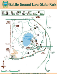
Battle Ground Lake State Park Map
Map of park with detail of trails and recreation zones
52 miles away
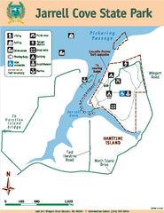
Jarrell Cove State Park Map
Map of park with detail of trails and recreation zones
53 miles away
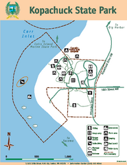
Kopachuck State Park Map
Map of island with detail of trails and recreation zones
55 miles away
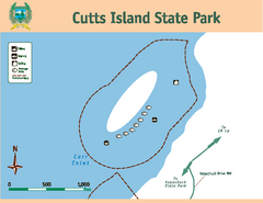
Cutts Island Stay Park Map
Map of park with detail of trails and recreation zones
55 miles away
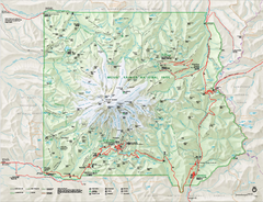
Mount Rainier National Park map
Official NPS map of Mt. Rainier National Park. Shows the entire park and surroundings
56 miles away
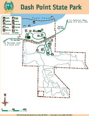
Dash Point State Park Map
Map of park with detail of trails and recreation zones
58 miles away
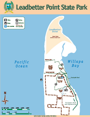
Leadbetter Point State Park Map
Map of park with detail of recreation zones and trails
59 miles away
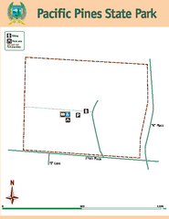
Pacific Pines State Park Map
Map of park with detail of trails and recreation zones
59 miles away
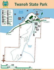
Twanoh State Park Map
Map of park with detail of trails and recreation zones
59 miles away
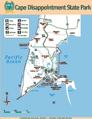
Cape Dissapointment State Park Map
Map of park with detail of trails and recreation zones
62 miles away
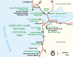
Lewis & Clark National Historic Trail...
Official NPS map of Lewis & Clark National Historic Trail in Oregon-Washington. Shows all areas...
62 miles away
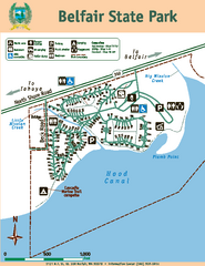
Belfair State Park Map
Map of park, with detail of trails and recreation zones
63 miles away
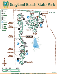
Grayland Beach State Park Map
Map of park with detail of trails and recreation zones
63 miles away
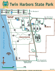
Twin Harbors State Park Map
Map of park with detail of trails and recreation zones
66 miles away
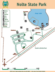
Nolte State Park Map
Map of park with detail of trails and recreation zones
66 miles away
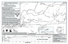
Forest Park Mountain Biking Map
Forest Park now includes over 5,100 wooded acres making it the largest, forested natural area...
66 miles away
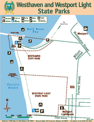
Westhaven/Westport Light State Parks Map
Map of park with detail of trails and recreation zones
67 miles away
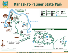
Kanaskat-Palmer State Park Map
Map of park with detail of trails and recreation zones
70 miles away
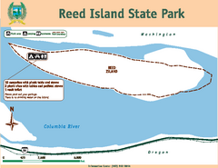
Reed Island State Park Map
Map of park with detail of trails and recreation zones
71 miles away
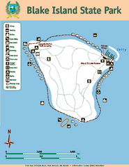
Blake Island State Park Map
Map of park with detail of trails and recreation zones
72 miles away
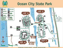
Ocean City State Park Map
Map of park with detail of trails and recreation zones
73 miles away
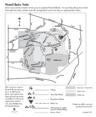
Powell Butte Nature Park Trail Map
Trail map of Powell Butte Nature Park. Shows over 9 miles of trails
73 miles away
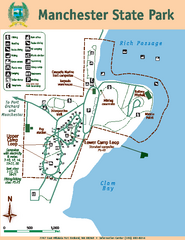
Manchester State Park Map
Map of park with detail of trails and recreation zones
74 miles away
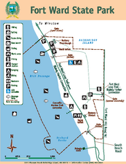
Fort Ward State Park Map
Map of park with detail of trails and recreation zones
75 miles away
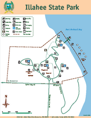
Illahee State Park Map
Map of park with detail of trails and recreation zones
75 miles away
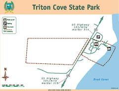
Triton Cove State Park Map
Map of park with detail of trails and recreation zones
76 miles away
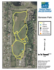
Genesee Park Trail Map
Trail map of Genesee Park in Mt Baker, Seattle, WA
76 miles away
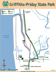
Griffiths-Priday State Park Map
Griffiths-Priday State Park
77 miles away
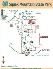
Squak Mountain State Park Map
Map of park with detail of trails and recreation zones
77 miles away
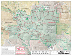
Cougar Mountain Park Trail Map
Trail map of Cougar Mountain Regional Wildland Park, part of the "Issaquah Alps"
77 miles away
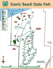
Scenic Beach State Park Map
Map of park with detail of trails and recreation zones
78 miles away


 Explore Maps
 Map Directory
