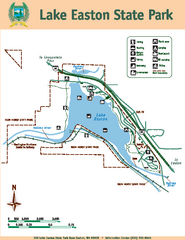
Lake Easton State Park Map
Map of island with detail of trails and recreation zones
0 miles away
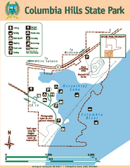
Columbia Hills State Park Map
Map of park with detail of trails and recreation zones
17 miles away
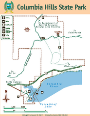
Columbia Hills State Park Map
Map of park with detail of trails and recreation zones
17 miles away
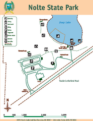
Nolte State Park Map
Map of park with detail of trails and recreation zones
35 miles away
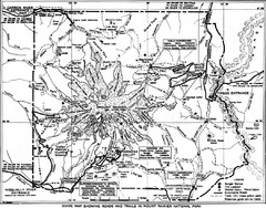
1928 Mount Rainier National Park Map
Guide to Mount Rainier National Park in 1938
35 miles away
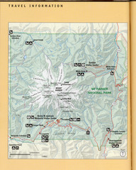
Mount Rainier National Park Map
Guide to the Mount Rainier National Park
36 miles away
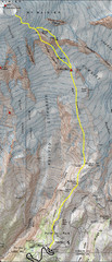
Mount Rainier Climbing Map
Guide to climbing Mount Rainier, Camp Muir Route
39 miles away
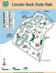
Lincoln Rock State Park Map
Map of park with detail of trails and recreation zones
44 miles away
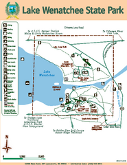
Lake Wenatchee State Park Map
Map of island with detail of trails and recreation zones
45 miles away
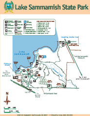
Lake Sammamish State Park Map
Map of island with detail of trails and recreation zones
46 miles away
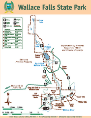
Wallace Falls State Park Map
Map of park with detail of trails and recreation zones
48 miles away
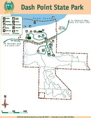
Dash Point State Park Map
Map of park with detail of trails and recreation zones
57 miles away
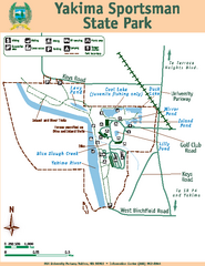
Yakima Sportsman State Park Map
Map of park with detail of trails and recreation zones
57 miles away
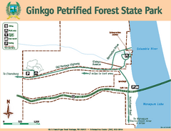
Ginkgo Petrified Forest State Park Map
Map of park with detail of trails and recreation zones
60 miles away
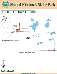
Mount Pilchuck State Park Map
Map of park with detail of trails and recreation zones
62 miles away
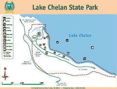
Lake Chelan State Park Map
Map of island with detail of trails and recreation zones
63 miles away
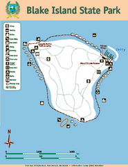
Blake Island State Park Map
Map of park with detail of trails and recreation zones
64 miles away
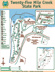
Twenty-Five Mile Creek State Park Map
Map of park with detail of trails and recreation zones
65 miles away
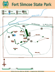
Fort Simcoe State Park Map
Map of park with detail of trails and recreation zones
65 miles away
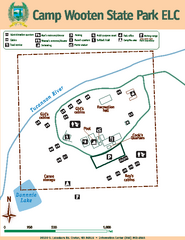
Camp Wooten State Park Map
Map of park with detail of trails and recreation zones
66 miles away
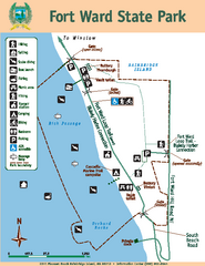
Fort Ward State Park Map
Map of park with detail of trails and recreation zones
66 miles away
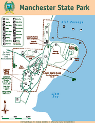
Manchester State Park Map
Map of park with detail of trails and recreation zones
67 miles away
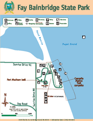
Fay Bainbridge State Park Map
Map of park with detail of trails and recreation zones
69 miles away
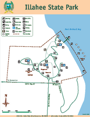
Illahee State Park Map
Map of park with detail of trails and recreation zones
70 miles away
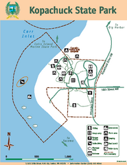
Kopachuck State Park Map
Map of island with detail of trails and recreation zones
70 miles away
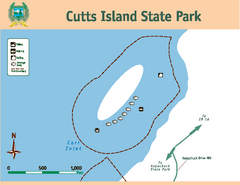
Cutts Island Stay Park Map
Map of park with detail of trails and recreation zones
70 miles away
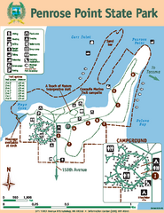
Penrose Point State Park Map
Map of park with detail of trails and recreation zones
73 miles away
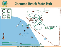
Joemma Beach State Park Map
Map of park with detail of trails and recreation zones
76 miles away
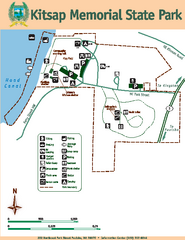
Kitsap Memorial State Park Map
Map of island with detail of trails and recreation zones
78 miles away
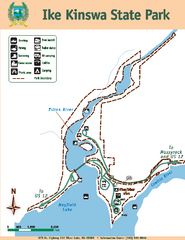
Ike Kinswa State Park Map
Map of park with detail of trails and recreation zones
79 miles away
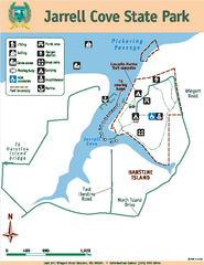
Jarrell Cove State Park Map
Map of park with detail of trails and recreation zones
79 miles away
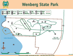
Wenberg State Park Map
Map of park with detail of trails and recreation zones
80 miles away
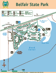
Belfair State Park Map
Map of park, with detail of trails and recreation zones
80 miles away
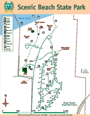
Scenic Beach State Park Map
Map of park with detail of trails and recreation zones
82 miles away
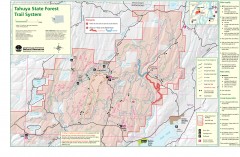
Tahuya State Forest Trail Map
Shows trails of Tahuya State Forest. Show roads, doubletrack, singletrack, and 4WD only.
83 miles away
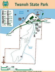
Twanoh State Park Map
Map of park with detail of trails and recreation zones
84 miles away
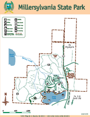
Millersylvania State Park Map
Map of park with detail of trails and recreation zones
84 miles away
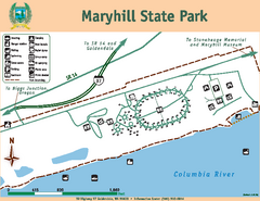
Maryhill State Park Map
Map of park with detail of trails and recreation zones
85 miles away
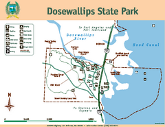
Dosewallips State Park Map
Map of park with detail of trails and recreation zones
86 miles away
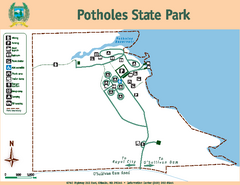
Potholes State Park Map
Map of park with detail of trails and recreation zones
89 miles away


 Explore Maps
 Map Directory
