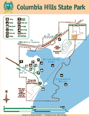
Columbia Hills State Park Map
Map of park with detail of trails and recreation zones
0 miles away
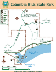
Columbia Hills State Park Map
Map of park with detail of trails and recreation zones
less than 1 mile away
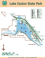
Lake Easton State Park Map
Map of island with detail of trails and recreation zones
17 miles away
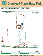
Olmstead Place State Park Map
Map of park with detail of trails and recreation zones
27 miles away
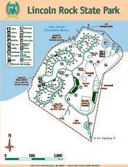
Lincoln Rock State Park Map
Map of park with detail of trails and recreation zones
28 miles away
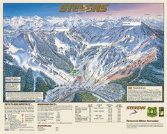
Stevens Pass Trail Map
35 miles away
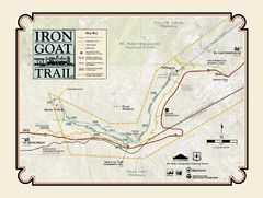
Iron Goat Trail Map
36 miles away
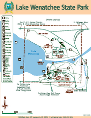
Lake Wenatchee State Park Map
Map of island with detail of trails and recreation zones
38 miles away
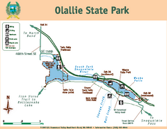
Olallie State Park Map
Map of park with detail of trails and recreation zones
40 miles away
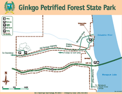
Ginkgo Petrified Forest State Park Map
Map of park with detail of trails and recreation zones
45 miles away
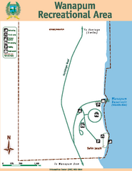
Wanapum Recreational Area Map
Map of park with detail of trails and recreation zones
47 miles away
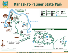
Kanaskat-Palmer State Park Map
Map of park with detail of trails and recreation zones
50 miles away
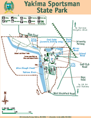
Yakima Sportsman State Park Map
Map of park with detail of trails and recreation zones
51 miles away
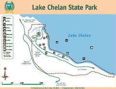
Lake Chelan State Park Map
Map of island with detail of trails and recreation zones
51 miles away
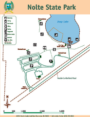
Nolte State Park Map
Map of park with detail of trails and recreation zones
52 miles away
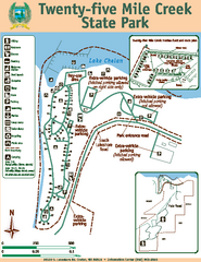
Twenty-Five Mile Creek State Park Map
Map of park with detail of trails and recreation zones
52 miles away
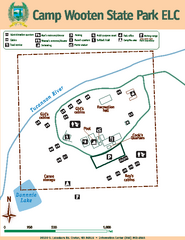
Camp Wooten State Park Map
Map of park with detail of trails and recreation zones
53 miles away
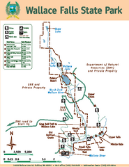
Wallace Falls State Park Map
Map of park with detail of trails and recreation zones
56 miles away
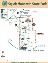
Squak Mountain State Park Map
Map of park with detail of trails and recreation zones
59 miles away
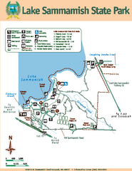
Lake Sammamish State Park Map
Map of island with detail of trails and recreation zones
60 miles away
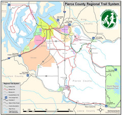
Pierce County Regional Trail Map
County-wide system of trails
62 miles away
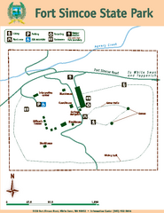
Fort Simcoe State Park Map
Map of park with detail of trails and recreation zones
64 miles away
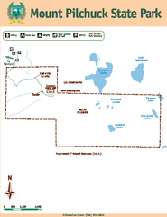
Mount Pilchuck State Park Map
Map of park with detail of trails and recreation zones
70 miles away
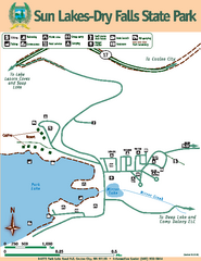
Sun Lakes-Dry Falls State Park Map
Map of park with detail of trails and recreation zones
73 miles away
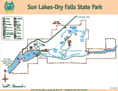
Sun Lakes-Dry Falls State Park Map
Map of park with detail of trails and recreation zones
73 miles away
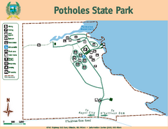
Potholes State Park Map
Map of park with detail of trails and recreation zones
73 miles away
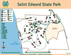
Saint Edward State Park Map
Map of park with detail of trails and recreation zones
73 miles away
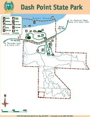
Dash Point State Park Map
Map of park with detail of trails and recreation zones
74 miles away

Centennial Trail Map
75 miles away
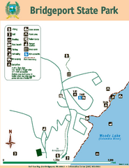
Bridgeport State Park Map
Map of park with detail of trails and recreation zones
76 miles away

Centennial Trail Map
Centennial Trail has 23 miles completed (Snohomish to Bryant) with more in progress.
76 miles away
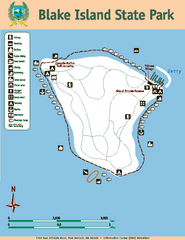
Blake Island State Park Map
Map of park with detail of trails and recreation zones
79 miles away
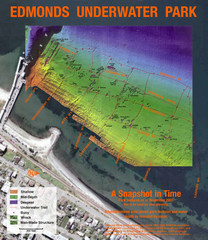
Edmonds Underwater Park Map
Map of underwater park for divers
81 miles away
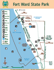
Fort Ward State Park Map
Map of park with detail of trails and recreation zones
82 miles away
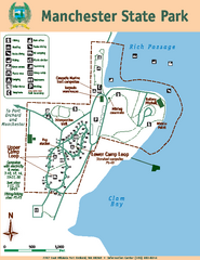
Manchester State Park Map
Map of park with detail of trails and recreation zones
83 miles away
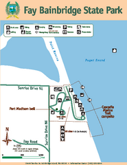
Fay Bainbridge State Park Map
Map of park with detail of trails and recreation zones
83 miles away
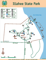
Illahee State Park Map
Map of park with detail of trails and recreation zones
85 miles away
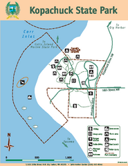
Kopachuck State Park Map
Map of island with detail of trails and recreation zones
87 miles away
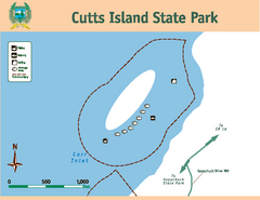
Cutts Island Stay Park Map
Map of park with detail of trails and recreation zones
87 miles away
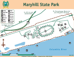
Maryhill State Park Map
Map of park with detail of trails and recreation zones
88 miles away


 Explore Maps
 Map Directory
