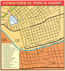
Downtown El Paso Map
Downtown tourist street map of El Paso and nearby Juarez
0 miles away
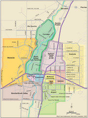
Albuquerque Map
Map of Albuquerque with detail of main streets and districts
230 miles away
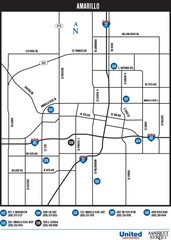
Amarillo Map
Map of main roads/highways in Amarillo
355 miles away
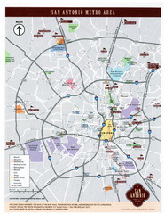
San Antonio Map
502 miles away
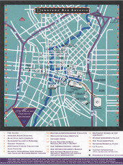
Downtown San Antonio Map
Tourist street map of downtown San Antonio
503 miles away
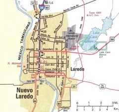
Downtown Laredo Map
Map of main roads in downtown Laredo
512 miles away
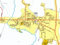
Gatesville City Map
Street map of Gatesville
516 miles away
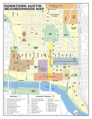
Downtown Austin District Map
Street map of downtown Austin with detail of districts
528 miles away
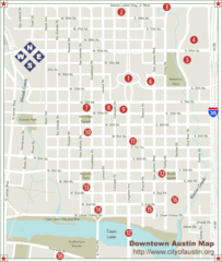
Downtown Austin Map
Street map of downtown Austin
528 miles away
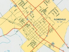
Floresville City Map
Street map of Floresville
529 miles away
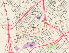
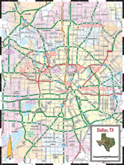
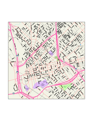
Downtown Dallas Map
Street map of downtown Dallas
571 miles away
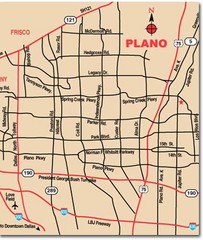
Plano City Map
Map of main roads and highways in Plano
575 miles away
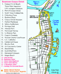
Downtown Corpus Christi Map
Tourist map of downtown Corpus Christi, with detail of local attractions
610 miles away
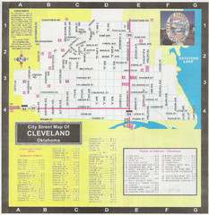
Cleveland Street Map
655 miles away
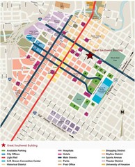
Downtown Houston Map
Street map of downtown Houston
675 miles away
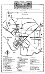
Brownsville Tourist Map
Tourist map of Brownsville with detail of local attractions
678 miles away
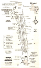
South Padre Island Map
Tourist map of South Padre Island
686 miles away
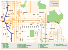
Downtown Salt Lake City Map
Street map of downtown Salt Lake City
692 miles away
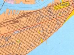
Galveston City Map
Street map of Galveston
716 miles away
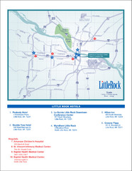
Little Rock Map
845 miles away
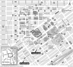
San Francisco City Center Map
994 miles away
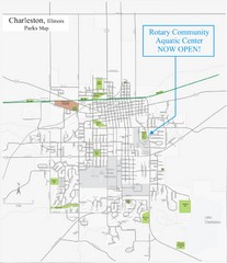
Charleston Town Map
1157 miles away
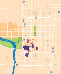
Indianapolis Center Map
Map of Indianapolis downtown center
1263 miles away
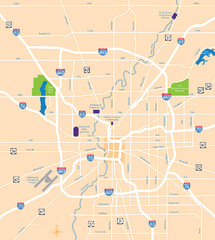
Indianapolis Map
Map of Indianapolis are
1264 miles away
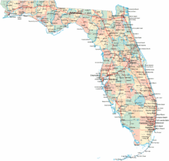
Florida Road Map
1408 miles away
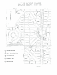
Lathrup Village Street Map
1475 miles away
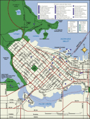
Vancouver Tourist Map
Tourist map of downtown Vancouver
1486 miles away
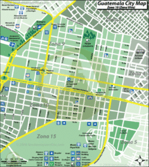
Guatemala City Tourist Map
1556 miles away
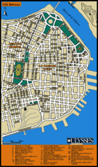
Havana Tourist Map
Tourist street map of Havana
1591 miles away
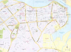
Havana City Map
1592 miles away
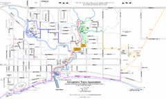
Kincardine Street & Trail Map
1595 miles away
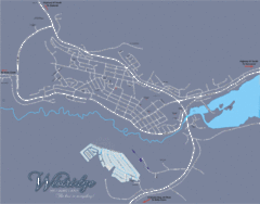
Williams Lake Town Map
1615 miles away


 Explore Maps
 Map Directory
