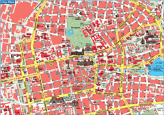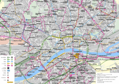
Frankfurt Public Transportation Map
Public transportation map of central Frankfurt, Germany. Shows bus and train routes.
0 miles away
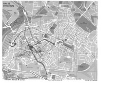
Strasbourg Map
Shows bus and tram itineraries to the Brethren Colleges Abroad office from the train station and...
114 miles away
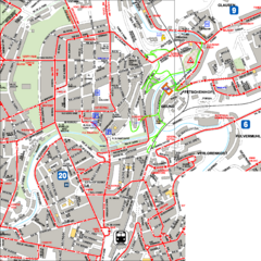
City Center with Bus and Rail Lines Map
119 miles away
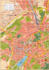
Altenburg Tourist Map
Guide to Altenburg, Germany in German
176 miles away
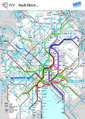
Zurich Metro Map
Official metro map from ZVV. Shows lines in central Zurich, Switzerland.
189 miles away
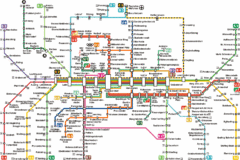
Munich Metro Map
Metro map of Munich, Germany. In German.
189 miles away
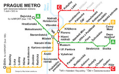
Prague Metro 2008 Map
254 miles away
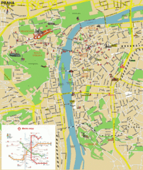
Prague (Praha) Tourist Map
Guide to major streets, points of interest and Metro
255 miles away
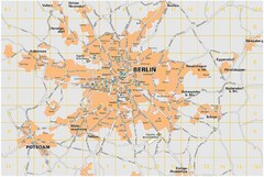
Berlin City Map
City map of Berlin Metropolitan area
264 miles away
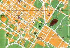
Sesto Map
299 miles away
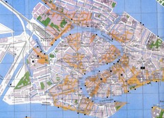
Venice Italy Tourist Map
Map of Venice, Italy showing tourist sites, plazas and churches.
365 miles away
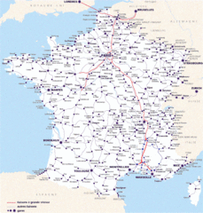
Map of SNCF National Railway Network in France
A SNCF map (Société Nationale des Chemins de Fer) showing the French train System...
388 miles away
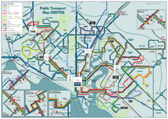
Southampton Public Transport Map
Public transport map of Southampton, England
447 miles away
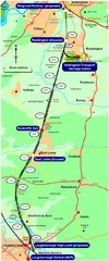
Nottingham Transport Map
A map showing train stations in Loughborough to Nottingham. Includes surrounding roads, towns...
462 miles away
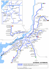
Göteborg Tram Map
Map marking rails, stops and more.
542 miles away
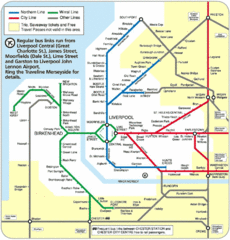
Liverpool Subway Map
Guide to Liverpool Merseyrail lines and stations
544 miles away
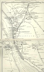
Liverpool Railway Map
Guide to historic rail lines around Liverpool
548 miles away
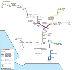
Los Angeles, California Rail System Map
548 miles away
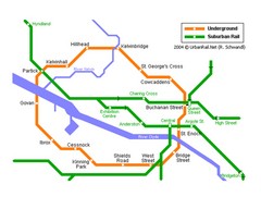
Glasgow Subway Map
Guide to underground and suburban rail
667 miles away
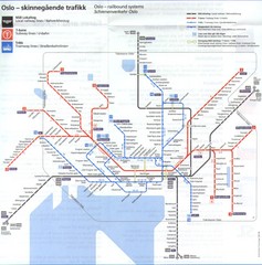
Oslo, Norway Public Transportation Map
683 miles away
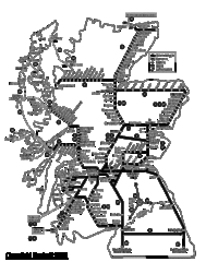
Scotland Rail Map
Guide to rail and ferries in Scotland
694 miles away
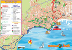
Naples Tourist Map
Tourist map of Naples, Italy. Shows bus routes.
695 miles away
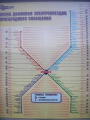
Minsk Suburban Train Map
Suburban trains map of Minsk, Belarus. Shows stations and stops. In Russian. From photo.
843 miles away
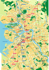
St. Petersburg City Map
City map of St. Petersburg, Russia. Shows 4 major train routes.
1086 miles away
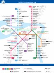
St. Petersburg Subway Map
Russian and English labeling for each stop and symbol.
1086 miles away
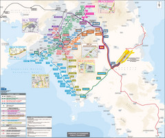
Athens Public Transportation Map (Greek)
1120 miles away
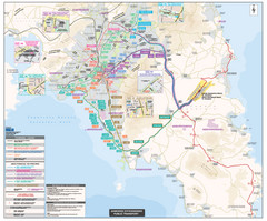
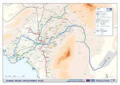
Athens Public Transportation Map
Shows all public transportation in Athens, Greece, including metro, tram, and bus routes.
1120 miles away
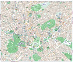
Athens City Map
City map of Athens, Greece. Shows parks and points of interest.
1120 miles away
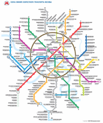
Moscow Public Transportation Map
1257 miles away
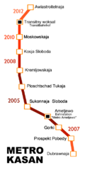
Kazan Metro Map
Simple map marking future stops on the Kazan metro.
1704 miles away
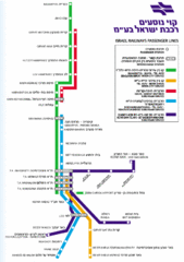
Israel Railways Map
Map of railway lines throughout countries
1862 miles away
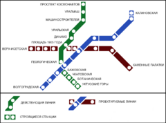
Yekaterinburg Metro Map
Clear map of Yekaterinburg's metro lines.
2132 miles away
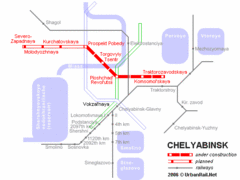
Chelyabinsk Metro Map
Detailed map and key for Chelyabinsk's metro system.
2186 miles away
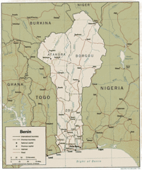
Benine Map
Map and legend clearly marking railroads, roads and borders.
2846 miles away
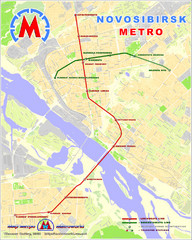
Novosibirsk Metro Map
The metro lines in Novosibirsk are marked on this detailed map.
2991 miles away


 Explore Maps
 Map Directory
