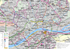
Frankfurt Public Transportation Map
Public transportation map of central Frankfurt, Germany. Shows bus and train routes.
0 miles away
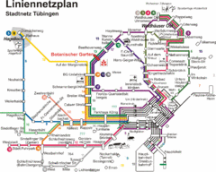
Tubingen Bus Map
Bus routes and connections, Tubingen, Germany. (German).
111 miles away
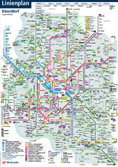
Dusseldorf Public Transport Network Map
Official Rheinbahn map shows municipal-rail, light rail and tramway system, as well as a close-knit...
114 miles away
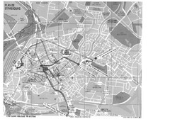
Strasbourg Map
Shows bus and tram itineraries to the Brethren Colleges Abroad office from the train station and...
114 miles away
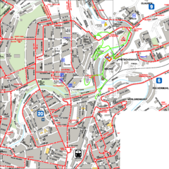
City Center with Bus and Rail Lines Map
119 miles away
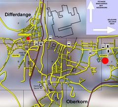
Differdange Bus Map
131 miles away
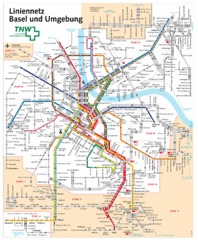
Basel Light Rail and Bus Map
183 miles away
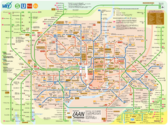
Munich Public Transportation Map
189 miles away
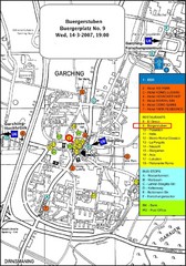
Map of the city of Garching, Germany
General visitor information including the locations of restaurants, hotels, bus stops and more.
223 miles away
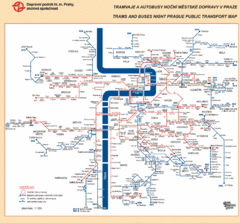
Prague Night Public Bus Tram Map
255 miles away
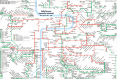
Prague Night Tram and Bus Lines Map
255 miles away
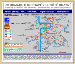
Prague Ruzyne Airport Night Public Transportation...
255 miles away
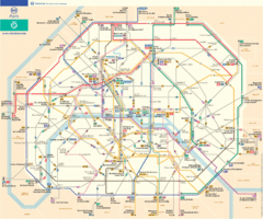
Official Parisian bus map
298 miles away
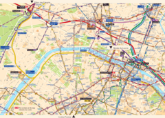
Paris City Map
City map of Paris with tourist information and transportation
298 miles away
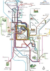
Trento Bus Route Map (Italian)
301 miles away
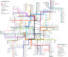
Vienna Public Transportation Map
372 miles away
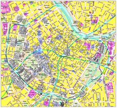
Vienna Inner City Tourist Map
Tourist map of inner city Vienna, Austria. 3D drawings of major buildings and palaces.
372 miles away
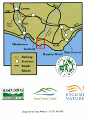
East Sussex, England Bus System Route Map
374 miles away
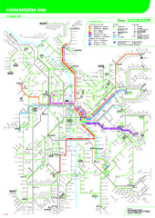
Graz Tram and Bus Map
Shows 8 tram lines and 23 bus lines in Graz, Austria
374 miles away
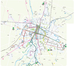
Parma Bus Lines Map
375 miles away
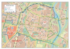
Poznan City Map
City map of center of Poznan, Poland. Shows bus and tram routes.
390 miles away
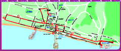
Brighton bus tour map
Brighton bus tour map - City Sightseeing
391 miles away
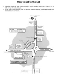
London School of Economics Bus Stop Map
How to get to the London School of Economics.
396 miles away
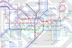
London Underground Map
London Underground map with all zones
396 miles away
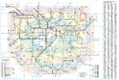
London Underground Map
396 miles away
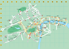
Ensignbus Sightseeing Bus Route Example Map
An example of one of many possible sightseeing routes from Ensignbus tours in London.
396 miles away
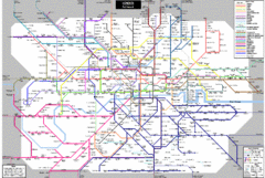
London Subway Map
396 miles away
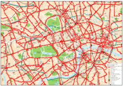
Central London Bus Map
1999 map from The London Tube Map Archive
397 miles away
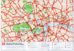
London Bus and Tourist Map
Key bus routes and tourist attractions in central London. Scanned.
397 miles away
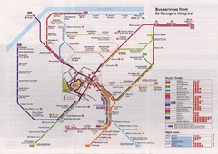
St. Georges Hospital Bus Services Map
398 miles away
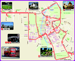
Cambridge Bus Tour Map
Cambridge Bus Tour Map - City Sightseeing
398 miles away
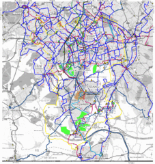
Cheam Bus Route Map
Olympic Bid 2016 - Bus Route Map
399 miles away
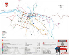
Maribor Bus Map
A map of bus lines in Maribor, Slovenia (Slovenian).
404 miles away
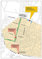
Tourist Bus Map
408 miles away
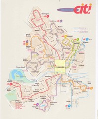
Peterborough Stage Coach Citi Bus Map
421 miles away
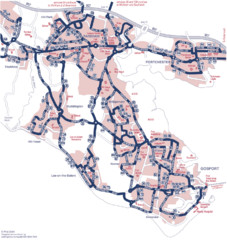
Fareham Busmap Map
Bus map of Portchester, Gosport and Fareham routes.
435 miles away
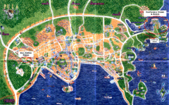
Pula Tourist Map
Tourist map of Pula, Croatia. Bus station highlighted. Scanned.
435 miles away
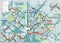
Southampton Public Transport Map
Public transport map of Southampton, England
447 miles away
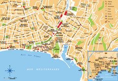
Nice France Tourist Map
Tourist map of Nice, France. Shows points of interest. Inset shows Nice area.
448 miles away
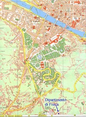
South-West Area of Florence Map
Map of the South-West Area of Florence with the Physics Department of the University of Florence...
455 miles away


 Explore Maps
 Map Directory
