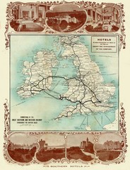
Historic United Kingdom Railroad Map
Guide to the connections of the Great Southern and Western Railways in the British Isles
0 miles away
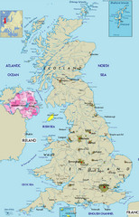
Northern Ireland Political Map
Guide to Northern Ireland and major cities in the United Kingdom
16 miles away
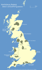
UK National Park Map
Shows locations of all national parks in the United Kingdom.
21 miles away
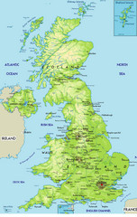
United Kingdom Physical Map
Guide to topography and physical features of Great Britain
26 miles away
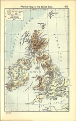
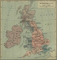
1911 British Isles Physical Map
Guide to physical features of the United Kingdom, then known as the British Isles
79 miles away
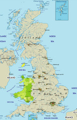
Wales Map
Guide to Wales and major cities in the United Kingdom
84 miles away
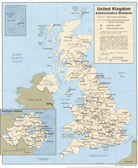
United Kingdom Tourist Map
92 miles away
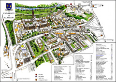
University of Glasgow Map
127 miles away
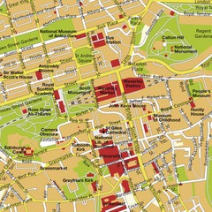
Edinburgh, Scotland Tourist Map
133 miles away
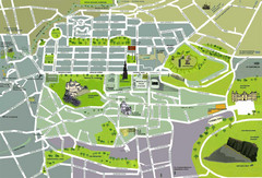
Edinburgh Tourist Map
Tourist map of Edinburgh, Scotland. Shows parks and major landmarks.
133 miles away
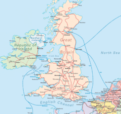
United Kingdom Transit Map
Guide to rail and ferries in the United Kingdom and surrounds
143 miles away
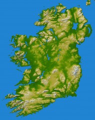
Ireland Topo Map
Shading and color-coding of topographic height.
190 miles away
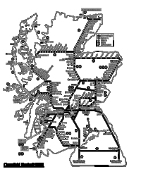
Scotland Rail Map
Guide to rail and ferries in Scotland
194 miles away
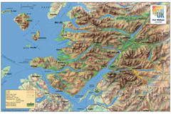
Fort William Area Shaded Relief Map
Shaded relief map of the Fort William, Lochaber, Scotland area. Shows roads, peaks, and vegetation...
205 miles away
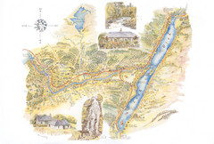
Invergarry Tourist Map
Tourist map of Invergarry, Scotland
212 miles away
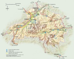
Cairngorms National Park Map
Official map of Cairngorms National Park, Britain's largest National Park at 3800 sq km. 4 of...
213 miles away
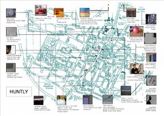
Huntly Town Collection Map
Visual public art in Huntly, Scotland. With photos. From site: "Artists working with Deveron...
237 miles away
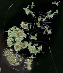
Orkney Islands Map
Guide to the Orkney Islands, northern most islands of the United Kingdom
346 miles away
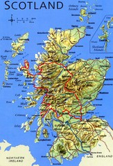
Scotland Tourist Map
3520 miles away


 Explore Maps
 Map Directory
