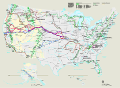
National Trails System Map
Map of all US National Scenic Trails and National Historic Trails. Shows all National Park System...
0 miles away
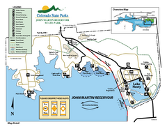
John Martin State Park Map
Map of park with detail of recreation zones
173 miles away
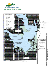
North Sterling State Park Map
Map of park with detail of recreation zones
195 miles away
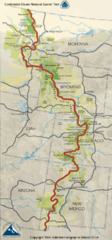
Continental Divide Trail Map
Guide to the full Continental Divide trail
234 miles away
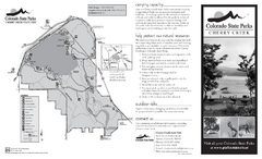
Cherry Creek State Park Map
Map of park with detail of recreation ares
250 miles away
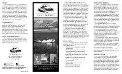
Lake Pueblo State Park Map
Map of park with detail of recreation zones
255 miles away
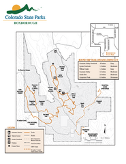
Roxborough State Park Map
Map of park with detail of recreation zones
261 miles away
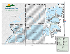
St. Vrain State Park Map
Map of park with detail of recreation zones
263 miles away
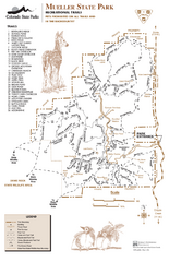
Mueller State Park Trail Map
Map of park with detail of hiking trails
269 miles away
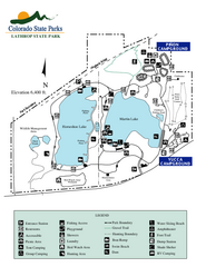
Lathrop State Park Map
Map of park with detail of recreation zones
276 miles away
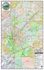
Boulder Open Space and Mountain Park Trail Map
Shows all trails in Open Spaces and Mountain Parks around Boulder, CO
277 miles away
Trinidad State Park Map
Map of park with detail of recreation zones
279 miles away
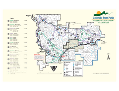
Golden Gate Canyon State Park Map
Map of park with detail of trails
281 miles away
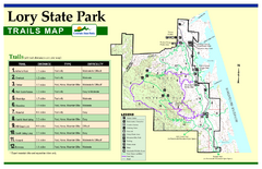
Lory State Park Trail Map
Map of park with detail of hiking trails
281 miles away
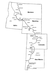
Continental Divide Trail Graphic Map
Guide to the Continental Divide Trail, with major cities and stopping points
293 miles away
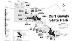
Curt Gowdy State Park Map
Curt Gowdy is a recreation area with three reservoirs. It's great for fishing, camping, water...
298 miles away
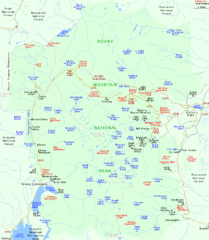
Rocky Mountain National Park Tourist Map
302 miles away
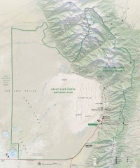
Great Sand Dunes National Park and Preserve map
Official NPS map of Great Sand Dunes National Park and Preserve. Park includes the tallest dune in...
307 miles away
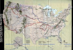
National Trails System Map
Map of all major US trail systems
307 miles away
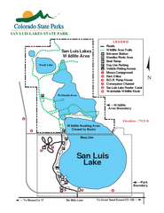
San Luis State Park Map
Map of park with detail of recreation zones
318 miles away
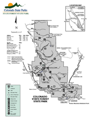
State Forest State Park Map
Map of park with detail of trails and recreation zones
319 miles away
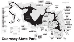
Guernsey State Park Map
The park has long been known as a haven for boating, camping, hiking and picnicking, but its real...
319 miles away
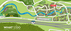
Vail Village Map
331 miles away
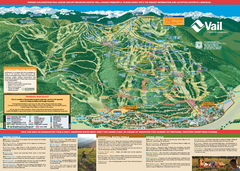
Vail Mountain resort Summer Adventure Map
Map of all hiking and mountain biking trails maintained by Vail Mountain Resort
332 miles away
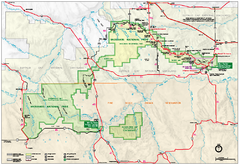
Official Badlands National Park Map
Official NPS map of Badlands National Park in South Dakota. The map shows all area's including...
332 miles away
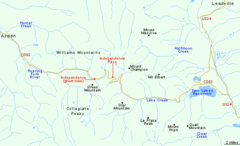
Independence Pass Area, Colorado Map
Basic map of the Independence Pass area near Aspen, Colorado. Independence Pass is the highest...
342 miles away
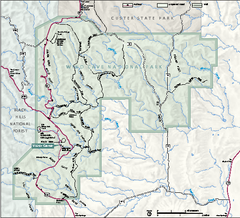
Wind Cave National Park Official Park Map
Official NPS map of Wind Cave National Park in South Dakota. Wind Cave is one of the world's...
344 miles away
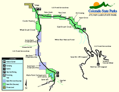
Sylvan Lake State Park Map
Map of park with detail of recreation zones and campgrounds
350 miles away
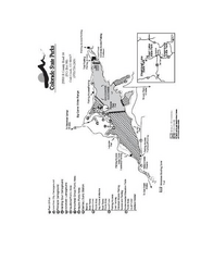
Stagecoach State Park Map
Map of park with detail of campgrounds and recreation zones
361 miles away
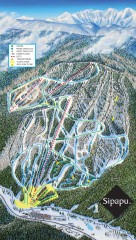
Sipapu Ski Trail Map
Official ski trail map of Sipapu ski area from the 2007-2008 season.
362 miles away
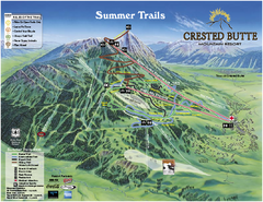
Crested Butte Mountain Resort Summer Trail Map
Official Crested Butte Mountain Resort summer trail map. Created by James Niehues.
363 miles away
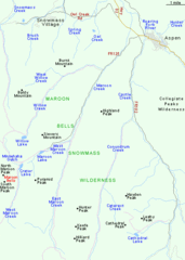
Maroon Bells Area Map
Basic Map of Watershed and Trails around Maroon Bells.
364 miles away
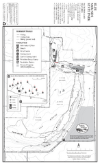
Blue Mounds State Park Map
Map of park with detail of trails and recreation zones
372 miles away
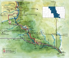
Great Lakes of South Dakota Map
Shows "the other Great Lakes" stretching along the Missouri River in South Dakota. Shows...
373 miles away
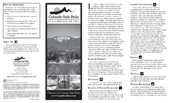
Steamboat Lake State Park Map
Map of park with detail of recreation zones
374 miles away
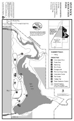
Split Rock Creek State Park Summer Map
Summer seasonal map of park with detail of trails and recreation zones
379 miles away
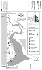
Split Rock Creek State Park Winter Map
Winter seasonal map of park with detail of trails and recreation zones
379 miles away
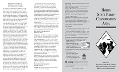
Hobbs State Park Map
Map of Hobbs State Park Conservation Area showing trail heads, roads, places of interests and...
385 miles away
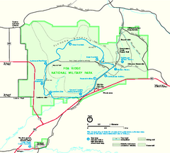
Pea Ridge National Military Park Official Map
Official NPS map of Pea Ridge National Military Park in Arkansas. The park is open year round 8-5...
387 miles away
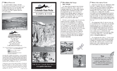
Yampa River State Park Map
Map of park with detail of recreation zones
395 miles away


 Explore Maps
 Map Directory
