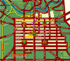
Adelaide Map
Street map of downtown Adelaide
0 miles away

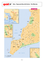
Victor Harbor Map
Tourist map of Victor Harbor, Australia
43 miles away
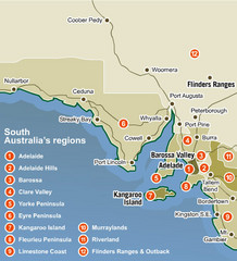
South Australia Map
Map of South Australia region with detail of districts
215 miles away
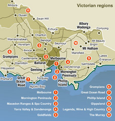
Victoria Map
Map of Victoria region with detail of districts
386 miles away
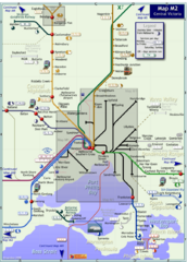
Central Victoria Rail Map
Map of rail system throughout Central Victoria region
399 miles away
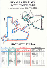
Benalla Bus Lines Map
Bus timetable and route map for town of Benalla
429 miles away
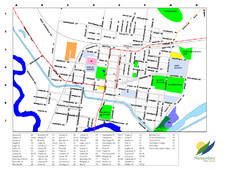
Narrandera Town Map
451 miles away
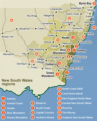
New South Wales Map
Map of New South Wales region with detail of districts
471 miles away
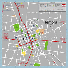
Temora Town Map
509 miles away
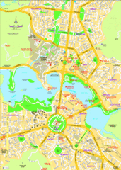
Canberra Street Map
596 miles away
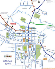
Mudgee Town Map
651 miles away
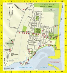
Shoalhaven Heads Town Map
688 miles away
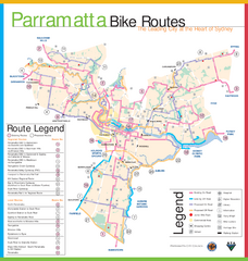
Parramatta Bike Route Map
711 miles away
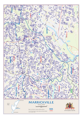
Marrickville Map
719 miles away
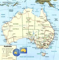
Australia Map
Map of Australia with detail of main cities
727 miles away
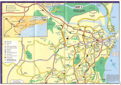
Newcastle Map
768 miles away
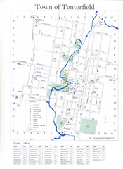
Tenterfield Town Map
885 miles away
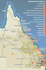
Queensland Map
Map of Queensland region with detail of districts
991 miles away
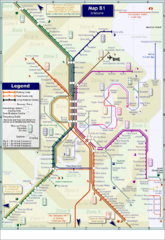
Brisbane Rail Map
Map of rail transit system in Brisbane
996 miles away
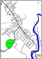
Mount Perry Tourist Map
Tourist map of town of Mount Perry, Australia
1030 miles away
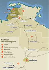
Northern Territory Map
Map of Northern Territory region wtih detail of districts
1116 miles away

Bruce Rock Town Map
1198 miles away
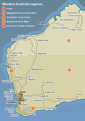
Western Australia Map
Map of Western Australia region with detail of districts
1202 miles away
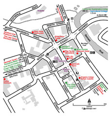
Denmark Western Australia Tourist Map
Tourist map of town of Denmark, Western Australia. Shows accommodations and restaurants.
1202 miles away
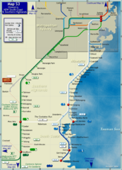
Illawarra Rail Map
Map of rail system throughout Illawarra, New South Wales South Coast, and Southern Highlands
1318 miles away
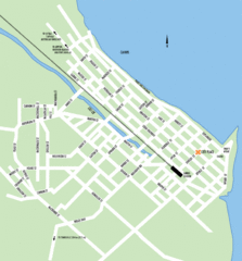
Cairns Map
Clear map of streets and roads of this small city.
1322 miles away
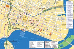
Perth Street Map
Tourist map of Perth, with detail of streets, hotels and tourist attractions
1325 miles away
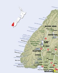
Fiordland Map
Map of Fiorland National Park region
1680 miles away
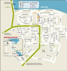
Te Anau Street Map
1689 miles away
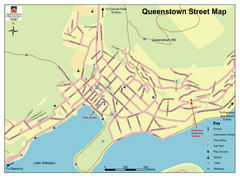
Queenstown Map
Street map of Queenstown
1727 miles away
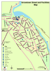
Arrowtown Street Map
1734 miles away
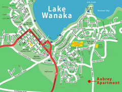
Wanaka Town Map
Street map of town of Wanaka
1744 miles away
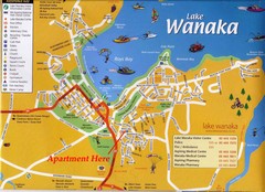
Wakana Town Map
Street map of Wanaka
1744 miles away
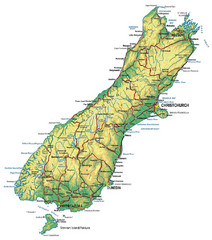
South Island Map
Map of South Island with cities detailed
1782 miles away
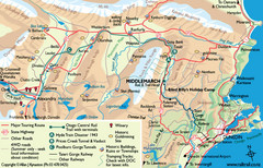
Otago Central Map
Otago map with detail of regional towns, rail station stops, and highways
1804 miles away
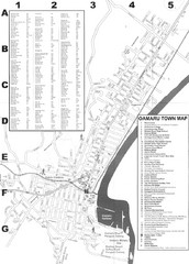
Oamaru Tourist Map
Tourist map of Oamaru, New Zealand. Has street index and shows points of interest.
1838 miles away
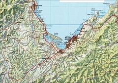
Nelson Topo Map
Shaded relief topo map of Nelson, New Zealand
1924 miles away
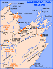
Nelson/Marlborough Map
Map of Nelson/Marlborough region with detail of towns and surrounding islands
1924 miles away


 Explore Maps
 Map Directory
