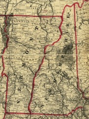
Map of New Hampshire and Vermont 1860
Map of New Hampshire and Vermont, 1860
0 miles away
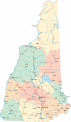
New Hampshire Road Map
Road map of New Hampshire
22 miles away
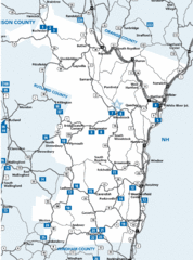
Windsor County Map
42 miles away
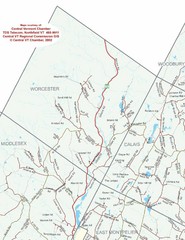
Worcester Town Map
Town map of Worcester, Vermont and surrounding areas
43 miles away
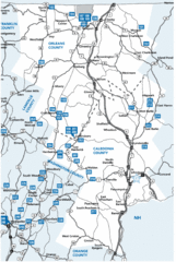
Caledonia County Map
45 miles away
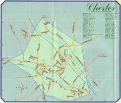
Chester Town Map
51 miles away
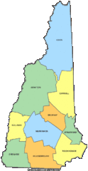
New Hampshire Counties Map
53 miles away
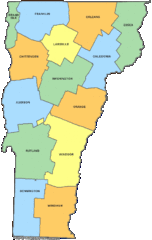
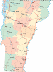
Vermont Counties Map
54 miles away
Chittenden County Map
64 miles away
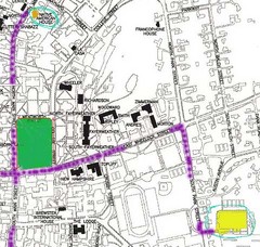
Manchester, New Hampshire City Map
68 miles away
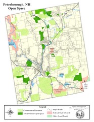
Peterborough Open Space Map
Map of open space lands in Peterborough, New Hampshire
71 miles away
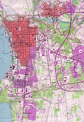
Burlington Vt 87 Map
Topographical map of the city of Burlington, Vt.
71 miles away
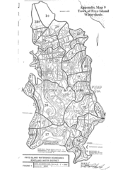
Frye Island Watershed Boundary Map
73 miles away
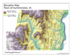
Elevation Map of Dummerston, Vermont
This Hypsometric map is a map that distinguishes elevations progression within a specific...
74 miles away
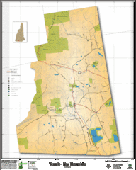
Temple NH Topo Map
Topographical map of Temple, NH area. Shows all roads and points of interest.
75 miles away
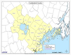
Cumberland County Map
Map showing all city divisions of Cumberland County, Maryland with specific location of the CPCOG.
87 miles away
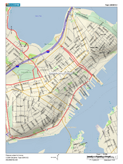
Portland, Maine City Map
88 miles away
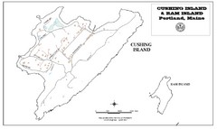
Cushing Island Map
Also shows Ram Island
91 miles away
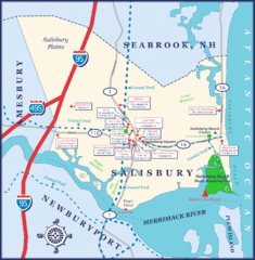
Salisbury Town Map
94 miles away
Massachusetts Zip Code Map
Check out this Zip code map and every other state and county zip code map zipcodeguy.com.
108 miles away
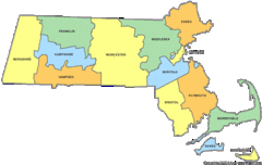
Massachusetts Counties Map
108 miles away
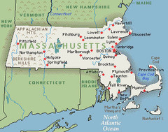
Massachusetts Cities and Mountains Map
108 miles away
Maryland Relief Map
108 miles away
Massachusetts Elevations Map
108 miles away
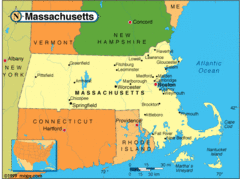
Massachusetts Cities Map
108 miles away
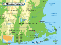
Massachusetts Rivers, Lakes, Mountains and...
108 miles away
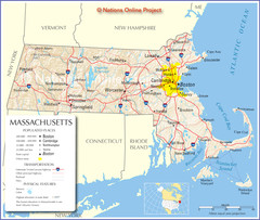
Massachusetts Road Map
108 miles away
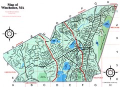
Winchester Town Map
109 miles away
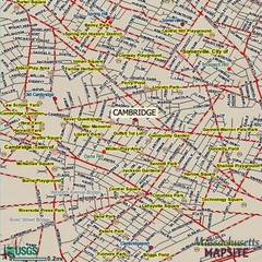
Cambridge, Massachusetts Map
114 miles away
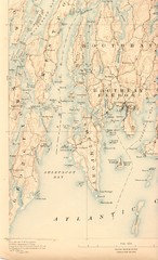
Boothbay Island Map
Topographical map of Boothbay Island and surrounding areas
116 miles away
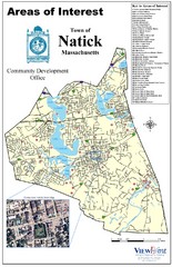
Natick Areas Of Interest Map
Shows points of interest in town of Natick, Massachusetts. Inset of downtown Natick.
116 miles away
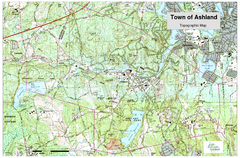
Ashland, MA - Topo Map
Map is provided by the town of Ashland, MA. See town's website for additional maps and...
116 miles away
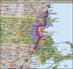
Interstate 95 Cities in Massachusetts Map
116 miles away
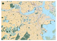
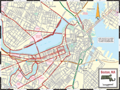
Boston, Massachusetts City Map
116 miles away
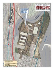
Green Island Map
Aerial town map of Green Island, New York on the Hudson River
116 miles away
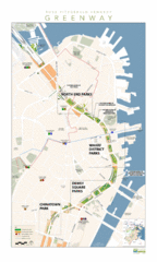
Rose Fitzgerald Kennedy Greenway Map
Boston's extensive heritage of parklands and common ground includes the Emerald Necklace...
117 miles away
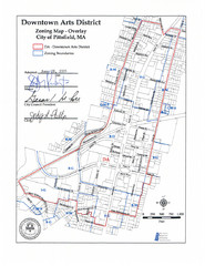
Pittsfield,, Massachusetts City Map
119 miles away


 Explore Maps
 Map Directory
