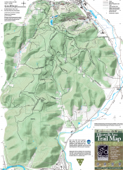
Ellicottville Area Trail Map
Shows mountain biking trails in the Holiday/Holimont/McCarty Hill/Rock City area south of...
0 miles away
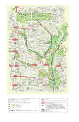
Toronto Brickworks Trail Map
Trail map of area around the Brickworks in Toronto, Canada
107 miles away
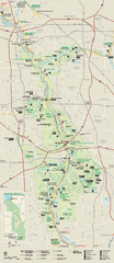
Cuyahoga Valley National Park Official Park Map
Official NPS map of Cuyahoga Valley National Park in Ohio. Map shows all areas. Cuyahoga Valley...
162 miles away
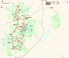
Gettysburg National Military Park Official Map
Official NPS map of Gettysburg National Military Park in Virginia. The park is open daily from 6...
183 miles away
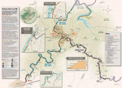
Rail Trails of North Central West Virginia Map
Trail map of rail-trails of north-central West Virginia. Shows the Mon River Trail, Caperton Trail...
190 miles away
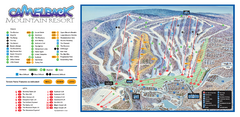
Camelback Ski Trail Map
Ski trail map of Camelback ski area
190 miles away
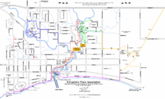
Kincardine Trail Map
Trail and street map of Kincardine, Ontario.
201 miles away
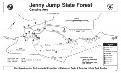
Jenny Jump State Forest map
Trail and camping map of Jenny Jump State Forest in New Jersey.
214 miles away
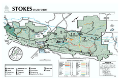
Stokes State Forest map
Trail map of Stokes State Park in New Jersey.
215 miles away
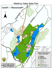
Kittatinny Valley State Park trail map
Trail map of Kittatinny Valley State Park in New Jersey. Shows hunting areas and trails.
221 miles away
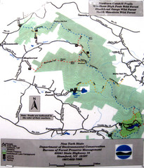
Northern Catskill Trail Map
Trail map shows hiking trails in the northern Catskills of New York. Shows trails in Windham High...
234 miles away
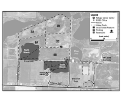
Ottawa National Wildlife refugee Map
237 miles away
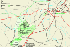
Morristown National Historical Park Official Map
Official NPS map of Morristown National Historical Park in New Jersey. Shows all areas. Tours...
240 miles away
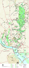
Rock Creek Park map
Map of Rock Creek Park and its immediate surroundings in Washington, DC
241 miles away
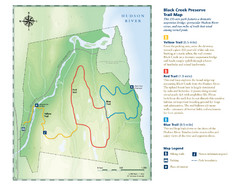
Black Creek Trail Preserve Map
Trail map of Black Creek Preserve on the Hudson River in New York. Shows Yellow Trail, Red Trail...
245 miles away
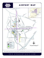
Albany International Airport Map
Official Map of the Albany International Airport in New York. Shows all terminals.
252 miles away
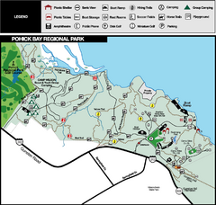
Pohick Bay Regional Park Map
Park map of Pohick Bay Regional Park near Lorton, VA on the Potomac River. Shows trails and...
258 miles away
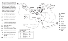
Mason Neck State Park Map
Trail map of Mason Neck State Park near Lornton, Virginia. Shows approx. 3 miles of hiking trails...
259 miles away
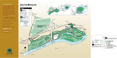
Side Cut Metropark Map
261 miles away
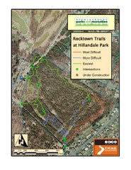
Rocktown Trail Map
Aerial trail map of Rocktown trails at Hillandale Park in Harrisonburg, VA
261 miles away
Riverside Park Map
Map of Riverside Park, New York. Illustrates all recreational activities, trails, bus stops and...
263 miles away
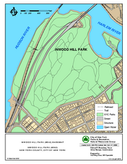
Inwood Hill Park Trail Map
Trail map of Inwood Hill Park located at the extreme northern tip of Manhattan. 136 acres.
264 miles away
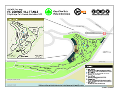
Highbridge Park mountain bike trail map
Mountain biking trail network opened in May 2007. Only mountain biking trails in Manhattan. 25...
264 miles away
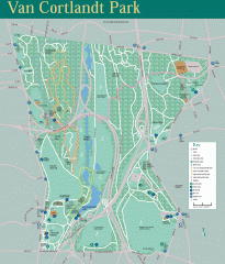
Van Cortlandt Park Trail Map
Trail map of Van Cortlandt Park in the Bronx. Covers 573 acres.
265 miles away
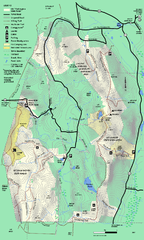
Mt. Washington State Forest trail map
Trail map of Mt. Washington State Forest
275 miles away
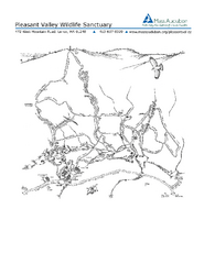
Pleasant Valley Wildlife Sanctuary Trail Map
Trail map of Pleasant Valley Wildlife Sanctuary
276 miles away
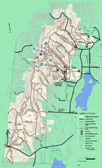
Pittsfield State Forest winter trail map
Winter use trail map of Pittsfield State Forest in Massachusetts.
276 miles away
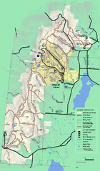
Pittsfield State Forest summer trail map
Summer use trail map of Pittsfield State Forest in Massachusetts.
276 miles away
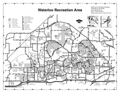
Waterloo State Recreation Area Map
The park is over 20,000 acres and has 4 campgrounds, beaches, picnic areas, 11 fishing lakes...
277 miles away
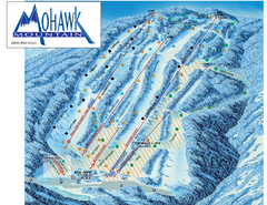
Mohawk Mountain Ski Trail Map
Ski trail map of Mohawk Mountain ski area
278 miles away
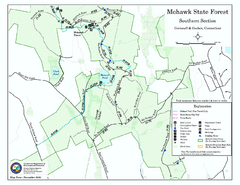
South Mohawk Mountain State Forest (Summer Trails...
Summer trails for South Mohawk State Forest in Connecticut.
279 miles away
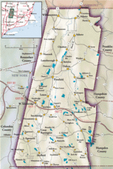
Berkshires Map
Overview map of the Berkshires region of Western Massachusetts
281 miles away
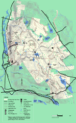
October Mountain State Forest trail map
Trail map of October Mountain State Forest in Massachusetts.
281 miles away
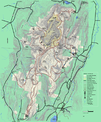
Mt. Greylock State Reservation winter trail map
Winter use trail map of Mt. Greylock State Park in Massachusetts.
283 miles away
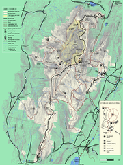
Mt. Greylock State Reservation summer trail map
Summer trail map of the Mt. Greylock State Park area in Massachusetts.
284 miles away
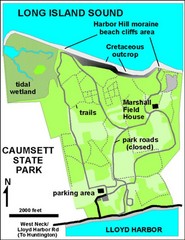
Caumsett State Park Map
Park map of Caumsett State Park on Long Island Sound, New York
284 miles away
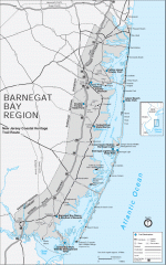
Barnegat Bay region trail map
Trail map of the Barnegat Bay region of New Jersey.
287 miles away
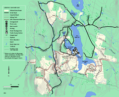
Tolland State Forest summer trail map
Summer use map for Tolland State Forest in Massachusetts.
288 miles away
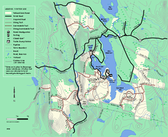
Tolland State Forest winter trail map
Winter usage trail map of the Tolland State Forest area in Massachusetts.
288 miles away
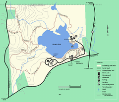
Clarksburg State Park trail map
Trail map of Clarksburg State Park in Massachusetts.
289 miles away


 Explore Maps
 Map Directory
