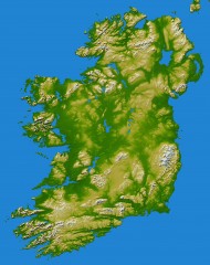
Ireland Topo Map
Shading and color-coding of topographic height.
0 miles away
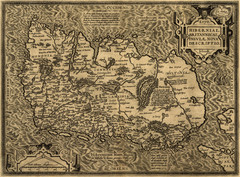
Ortelius’ Map of Ireland (1598)
Abraham Ortelius' map of Ireland in 1598.
34 miles away
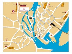
Galway, Ireland Tourist Map
35 miles away
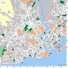
Galway, Ireland Tourist Map
35 miles away
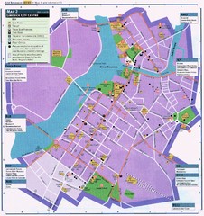
Limerick Tourist Map
Tourist map of central Limerick, Ireland. Shows tourist points of interest in city center...
54 miles away
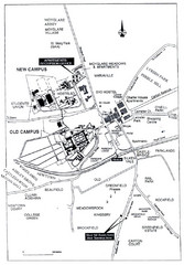
Maynooth Housing and Accommodation Map
Shows housing estates and accommodations in Maynooth, Ireland, home of the National University of...
68 miles away
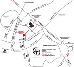
Coolmine Community School Location Map
Coolmine caters for over 1100 day-pupils, both boys and girls, aged from 12 to 18 years who live...
76 miles away
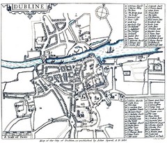
1608 Dublin Historical Map
82 miles away
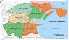
Dublin City Borders Map
82 miles away
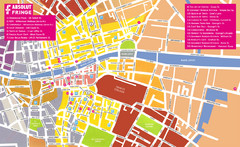
Dublin Restaurants Map
82 miles away
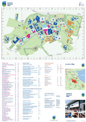
UCD Belfield Campus Map
Map and key clearly marking this University in Dublin.
84 miles away
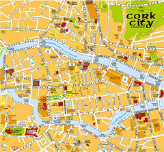
Cork, Ireland Tourist Map
105 miles away
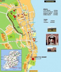
Cork, Ireland Tourist Map
105 miles away
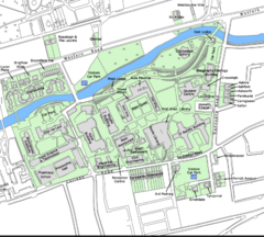
University College Cork Main Campus Map
Great map of this beautiful campus.
106 miles away
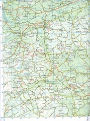
Kilmeen Area County Cork Map
Road and topo map of Kilmeen area in southwestern County Cork.
125 miles away
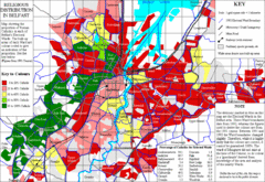
Belfast Religious Distribution Map
Guide to proportion of Catholics in each Belfast ward
126 miles away
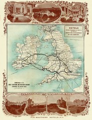
Historic United Kingdom Railroad Map
Guide to the connections of the Great Southern and Western Railways in the British Isles
190 miles away
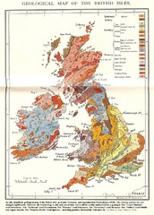
British Isles Geological Map
Old British Isles geological map
220 miles away
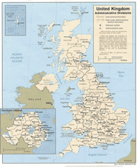
United Kingdom Tourist Map
236 miles away
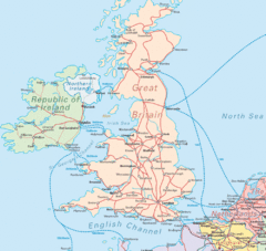
United Kingdom Transit Map
Guide to rail and ferries in the United Kingdom and surrounds
328 miles away


 Explore Maps
 Map Directory
