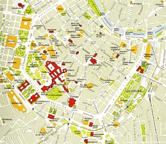
Vienna centre Map
156 miles away
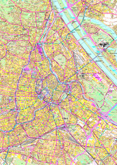
Vienna Street Map
Street map of Vienna, Austria
156 miles away
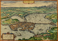
Mantua City Map 1575
Panoramic view of Mantua (Mantova), Italy from Braun and Hogenberg Civitates Orbis Terrarum Volume...
214 miles away
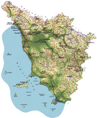
Tuscany Physical Map
Physical map of Tuscany, Italy.
274 miles away
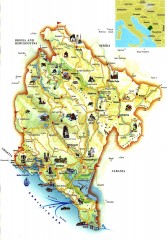
Montenegro tourist map
Illustrated tourist map of Montenegro.
308 miles away
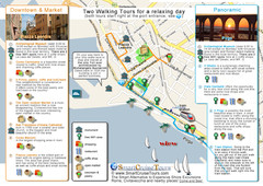
Port of Rome (Civitavecchia) map
Map of Civitavecchia, the port of Rome, with 2 walking itineraries
323 miles away
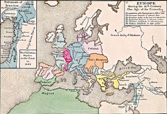
Old Map of Europe - 12th century
381 miles away
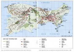
Capri Tourist Map
Tourist map of island of Capri, Italy. Shows roads, hotels, beaches, and other points of interest...
389 miles away
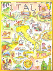
Italy Map
Work of art from my travel sketch books. Watercolor and ink original. Archival quality poster (13...
417 miles away
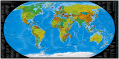
Worldwide Telephone Prefix Numbers Map
Telephone dialing prefixes on a world map
423 miles away
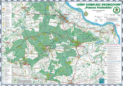
PuszczaKozienicka tourist map
LKP - Lesny Kompleks Promocyjny - PuszczaKozienicka - tourist map Ed. 2010 Projection: UTM/WGS84...
471 miles away

RadomkaRiver-kayaking Map
Radomka River - kayaking map Checked on field and verified map of Radomka River from Brzoza to...
476 miles away
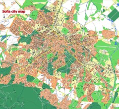
Sofia City street map
Map of Sofia city, Bulgaria. Bulgaria is country in Europe, member of the EU since 2007.
477 miles away
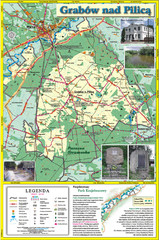
Grabow nad Pilica commune map
Grabow nad Pilica commune map Ed. 2006
478 miles away
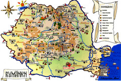
Romania Tourist Map
Tourist map of Romania showing tourist attractions, roads, and airports. Note the map is in...
479 miles away
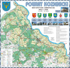
Kozienice_County_wall_map Map
Kozienice County big size wall map Covers all 7 communes: Kozienice, Garbatka-Letnisko, Grabow nad...
479 miles away
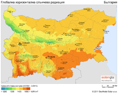
Solar Radiation Map of Bulgaria
Solar Radiation Map Based on high resolution Solar Radiation Database: SolarGIS. On the Solar Map...
569 miles away
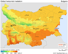
Solar Radiation Map of Bulgaria
Solar Radiation Map Based on high resolution Solar Radiation Database: SolarGIS. On the Solar Map...
569 miles away
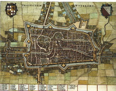
Historic map of Utrecht in 1652
606 miles away
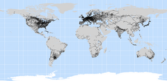
World Railways Map
Railways and transportation around the world
720 miles away
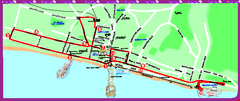
Brighton bus tour map
Brighton bus tour map - City Sightseeing
763 miles away
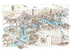
Map of London
Aerial map of London, a look at the History of London and the River Thames
780 miles away
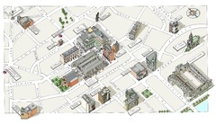
Map of London Covent Garden
Map of Covent Garden London
780 miles away
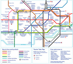
London Tourist Tube Map
London Tube Map with lots of station names replaced with tourist attractions. Key: Union Jack...
780 miles away
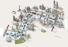
River Thames Jubilee Pageant Map
River Thames Jubilee Pageant 2012
780 miles away
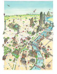
Aerial map of London
Map of London by Katherine Baxter
780 miles away
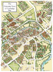
Cambridge England Map
Map of Cambridge, showing all the Colleges
790 miles away
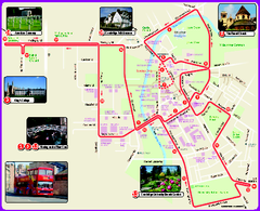
Cambridge Bus Tour Map
Cambridge Bus Tour Map - City Sightseeing
790 miles away

Bournemouth bus tour map
Bournemouth bus tour map - City Sightseeing
834 miles away
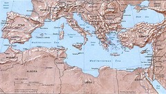
Mediterranean Map
Relief Map with countries and main cities surrounding the Mediterranean Sea.
893 miles away
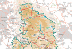
Peak District National Park Map
National Park map.
899 miles away


 Explore Maps
 Map Directory
