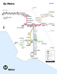
Los Angeles Metro Rail system map
Official map of the LA Metro Rail system. Comprised of the Metro Blue, Green, Red, Purple and Gold...
0 miles away
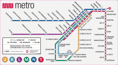
San Francisco Muni Metro map
Official SFMTA San Francisco MUNI Metro map. Shows overlapping BART stations and the Cal Train...
348 miles away
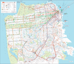
San Francisco Public Transportation map
Transit Muni system map shows all bus, subway metro, cable car, and streetcar routes.
348 miles away
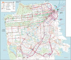
San Francisco Muni system map
Transit Muni system map shows all bus, subway metro, cable car, and streetcar routes.
348 miles away
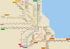
Chicago Public Transportation Map
1743 miles away
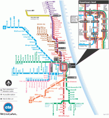
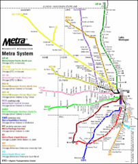
Chicago Train Map
Official map of the Chicago Rail System. CTA's Rail System has seven branches, differentiated...
1743 miles away
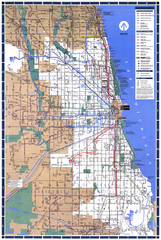
Chicago L System Map
CTA system map for the "L" from 1999
1744 miles away
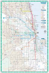
Chicago Transit Map
1745 miles away
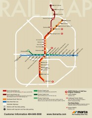
Atlanta MARTA rail map
Official rail map of the Metropolitan Atlanta Rapid Transit Authority.
1935 miles away
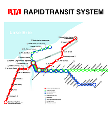
Cleveland Rapid Transit Map
2047 miles away
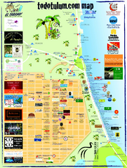
Tulum Tourist Map 2009
Tourist map showing town and Mayan ruins of Tulum, Mexico on the Caribbean. Shows hotels...
2110 miles away
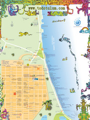
Tulum Tourist Map
Tourist map showing town and Mayan ruins of Tulum, Mexico on the Caribbean. Shows hotels...
2112 miles away

Toronto Subway Map
Official RT/subway map of the Toronto Transit Commission.
2173 miles away
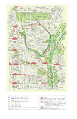
Toronto Brickworks Trail Map
Trail map of area around the Brickworks in Toronto, Canada
2174 miles away
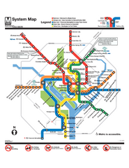
Official Washington DC Metro map
Official color PDF map from the Washington Metropolitan Area Transit Authority. The WMATA operates...
2297 miles away
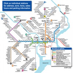
Philadelphia Rail System map
Official SEPTA map of the Philadelphia Rail System. Includes station addresses and fares, sales...
2391 miles away
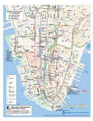
Lower Manhattan Public Transportation Map
Official MTA map of subway, bus, and ferry routes in Lower Manhattan.
2448 miles away
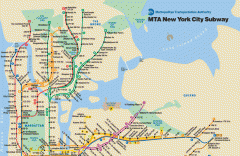
New York City Subway Map
Official MTA map of the NYC subway system... note not drawn to scale.
2448 miles away
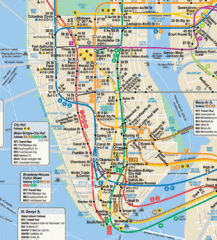
New York City Subway Map
2448 miles away
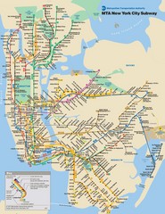
New York City Public Transportation Map
2448 miles away
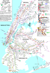
NYC Subway Map (unofficial)
Unofficial subway map of New York City. Created by SPUI.
2449 miles away
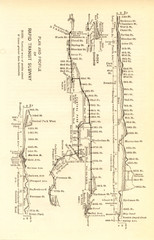
1904 New York City Subway Map
The New York City Subway Map in 1904
2450 miles away
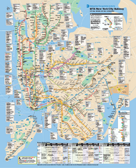
New York City MTA Subway Map
Official subway map for New York City
2451 miles away
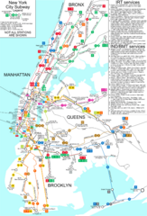
New York City Subway Map
Map of NYC subway transit system and stops
2451 miles away
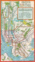
New York Subway Map, 1930
A New York City subway map from the 1930s
2451 miles away
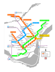
Montreal Metro Map
2458 miles away
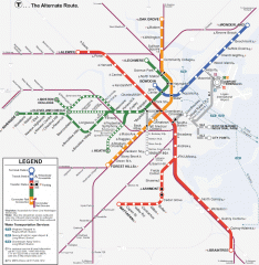
Boston Subway T Map
Massachusetts Bay Transportation Authority (MBTA) map of the Boston T subway system. Includes...
2593 miles away
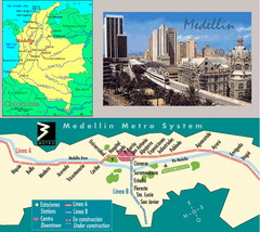
Medellin Metro Transit Map
Transportation map of metro throughout city of Medellin
3334 miles away
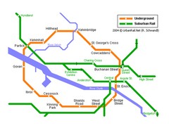
Glasgow Subway Map
Guide to underground and suburban rail
5124 miles away
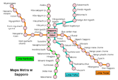
Sappora Subway Map
Clear map of Sappora's subway system.
5129 miles away
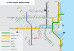
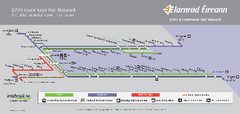
Dublin, Ireland Region Rail Map
5166 miles away
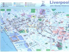
John Moores University Map
Campus map of John Moores University, Liverpool, UK
5269 miles away
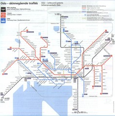
Oslo, Norway Public Transportation Map
5333 miles away
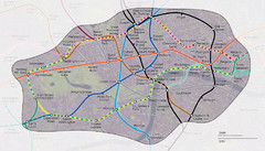
London Underground Zone 1 with Street Map
The London Underground Zone 1 geographically overlaid on city streets.
5446 miles away
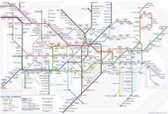
Tube Map
Map of London's Tube transportation lines and stops
5447 miles away


 Explore Maps
 Map Directory

