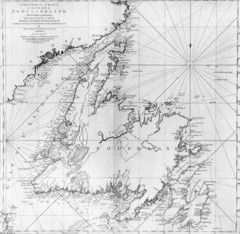
James Cook's Newfoundland Map
Famous map of Newfoundland created by James Cook. More info from site: "Cook's surveying...
0 miles away
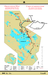
Kejimkujik National Park Map
Official Parks Canada map of Kejimkujik National Park, Nova Scotia. Shows lakes, trails, campsites...
537 miles away
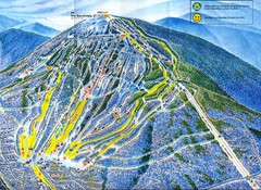
Sugarloaf Mountain Trail Map
Ski trail map
786 miles away
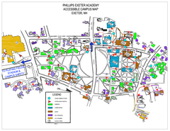
Phillips Exeter Academy Campus Map
Phillips Exeter Academy Campus Map
822 miles away
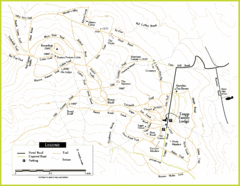
Trapp Ski Center Trail Map
Map of trails in the ski center at the Trapp Family Lodge
843 miles away
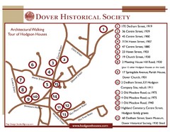
Dover Architectural Walking Map
Architectural walking tour of Hodgson Houses
865 miles away
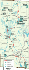
Midstate Trail Map
Map of the Midstate Trail, which runs from Ashburnham to the Rhode Island border. Shows state...
884 miles away
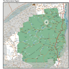
Adirondacks Lakes Map
Guide to lakes and waterways in the Adirondacks Park Preserve
913 miles away
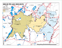
Adirondacks Canoeing Map
Guide to canoeing in the Adirondacks
916 miles away
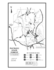
Pachaug State Forest map
Trail map of Pachaug State Forest in Connecticut.
918 miles away
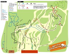
Hunter Mountain Bike Park Map
Map of bike trails in park
988 miles away
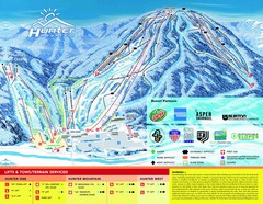
Hunter Mountain Trail Map
989 miles away
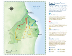
Esopus Meadows Preserve Trail Map
Trail map of Esopus Meadows Preserve park on the Hudson River.
991 miles away
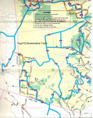
Tug Hill Trail Map
Tug Hill Area Snow Mobile Trail Map
1001 miles away
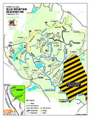
Blue Mountain Reservation Mountain Bike Trail Map
Mountain biking map of the Blue Mountain Reservation from the Westchester Mountain Biking...
1014 miles away
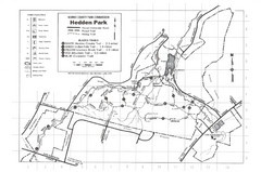
Hedden Park Map
Hedden County Park Trail Map
1059 miles away
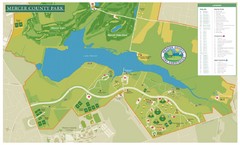
Mercer County Park Map
1088 miles away
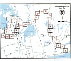
Ganaraska Hiking Trail Map
Map of the hiking trail at Ganaraska forest in Canada. Shows roads, surrounding lakes, towns and...
1099 miles away
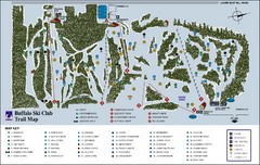
Buffalo Ski Club Trail Map
1163 miles away
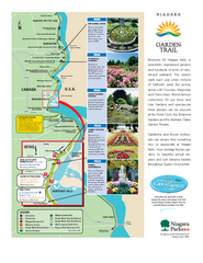
Niagara Garden Trail Map
Tourist map of attractions along the Garden Trail along the Canadian side of the St. Lawrence River...
1165 miles away
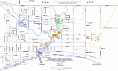
Kincardine Street & Trail Map
1247 miles away
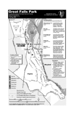
Great Falls Park Map
1250 miles away
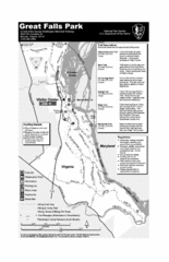
Great Falls Park Map
1251 miles away
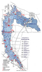
Pymatuning Lake State Park Fishing Map
Pymatuning Lake State Park fishing map
1281 miles away
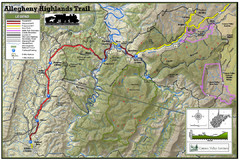
Trailmap72dpi Big Map
Detailed map of Allegheny Highland Trails and surrounding locations.
1346 miles away
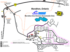
Marathon Trail Map
Map of Marathon with detail on snowmobile trails
1362 miles away
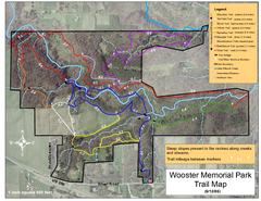
Wooster Memorial Park Trail Map
1378 miles away
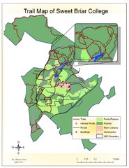
Sweet Briar College Trail Map
Trail map of Sweet Briar College campus and surrounding area
1391 miles away
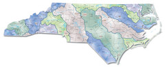
Watersheds North Carolina Map
North Carolina’s rivers link the Blue Ridge, Piedmont, and Coastal Plain. This map shows the...
1475 miles away
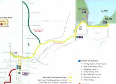
Buck Creek Trail Map
1487 miles away
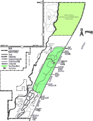
Kohler-Andrae State Park Map
trail, walk, water, nature, tourism, vacation, fun, adventure, journey,
1537 miles away
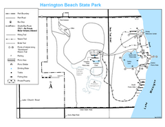
Harrington Beach State Park Map
Trails around Harington Beach State Park.
1546 miles away
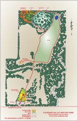
Pleasant Valley Nature Park Map
1560 miles away

Chippewa Morraine State Park Map
Walking trails.
1580 miles away
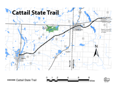
Cat Tail State Trail Map
Map marking trails, bike routes, shelter, toilets and more.
1595 miles away
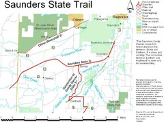
Saunders State Trail Map
Points of interest, lakes, roads, forests and more are marked on this map's key.
1599 miles away

White River State Trail Map
Take the White River Trail from Elkhom to Burlington through nature's backyard.
1602 miles away
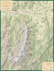
Black Mountains and South Toe and Cane River...
Guide to recreation around Mt. Mitchell State Park and Black Mountains
1602 miles away
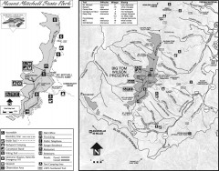
Mount Mitchell State Park map
Official map of Mt. Mitchell State Park in North Carolina. Park contains the 6,684 ft summit of...
1605 miles away
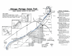
Chicago Portage Canoe Trail Map
Map of the Chicago Portage Canoe Trail in western Cook County on the Des Plaines River, Illinois...
1607 miles away


 Explore Maps
 Map Directory
