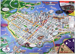
Vancouver Downtown Map
Panoramic tourist map of downtown Vancouver, BC. Shows major buildings in 3D.
0 miles away
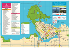
Map of Greater Vancouver
Tourism Vancouver's official map of Greater Vancouver. Shows accomodations, attractions...
less than 1 mile away
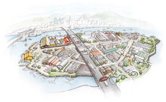
Granville Island Map
1 mile away
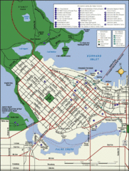
Vancouver Tourist Map
Tourist map of downtown Vancouver
3 miles away
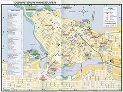
Vancouver Map
6 miles away
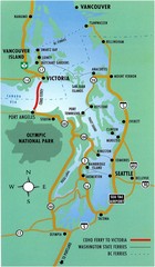
British Columbia, Canada Tourist Map
33 miles away
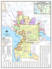
Bellingham, Washington City Map
46 miles away
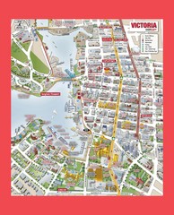
Victoria City Tourist Map
Tourist map of Victoria City on Vancouver Island, BC
60 miles away
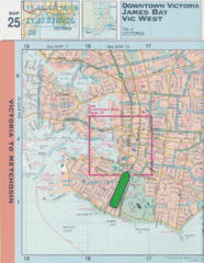
Downtown Victoria, British Columbia Tourist Map
60 miles away
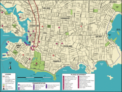
Victoria, British Columbia Tourist Map
60 miles away
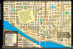
Fremont Walking Tour Map
Walking tour map of Fremont Washington in city of Seattle. Center of the known universe. Shows...
118 miles away
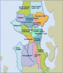
Seattle Neighborhood Map
122 miles away
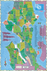
Seattle Neighborhood Map
122 miles away
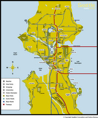
Seattle, Washington City Map
122 miles away
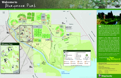
Marymoor Park Map
122 miles away
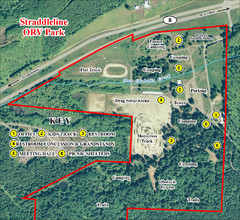
Grays Harbor County Straddleline ORV Park...
Park Map near Olympia
154 miles away
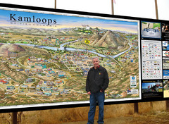
Kamloops tourist info map by Jean-Louis Rheault
Tourist map of Kamloops, British Columbia. Photo of 20 foot sign with the cartographer, Jean-Louis...
157 miles away
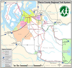
Pierce County Regional Trail Map
County-wide system of trails
160 miles away
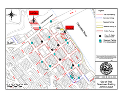
City of Trail Downtown Parking Map
Parking map of downtown Trail, British Columbia
245 miles away

City of Trail BC Map
Map of city of Trail, BC on the Columbia River
246 miles away
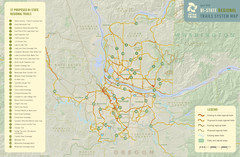
Bi-State Regional Trail System Plan Map
Shows plan for developing 37 Bi-State Regional Trails
257 miles away

Stanley, British Columbia Map
258 miles away
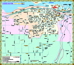
Hood River Map
Tourist map of city of Hood River, Oregon.
259 miles away
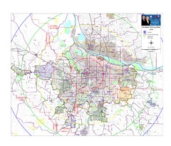
Portland, Oregon Tourist Map
261 miles away
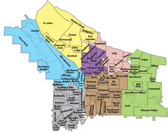
Portland, Oregon Neighborhood Map
261 miles away
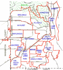
Portland, Oregon Neighborhood Map
261 miles away
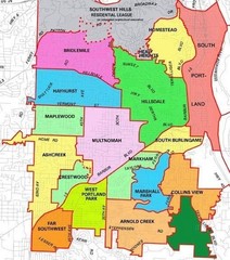
Portland, Oregon Neighborhood Map
261 miles away
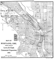
Portland, Oregon Map
Map of Portland, Oregon during centennial exposition of the Lewis & Clark Exploration...
261 miles away
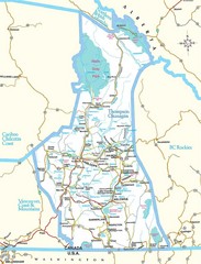
British Columbia, Canada Tourist Map
364 miles away
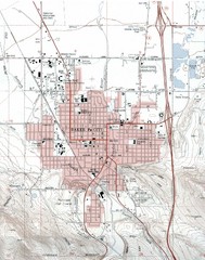
Baker City, Oregeon Tourist Map
399 miles away
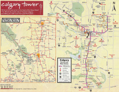
Calgary Tourist Map
Tourist map of Calgary, Canada. Shows points of interest. Scanned.
419 miles away
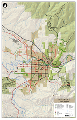
Missoula Bike Trails Map
Road and Mt. Bike trails with a bit of topology near Missoua
453 miles away
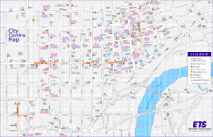
Edmonton Center Transportation Map
Bus and light rail public transportation map of center of Edmonton, Alberta, Canada.
508 miles away
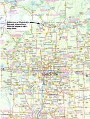
Edmonton, Alberta Tourist Map
508 miles away
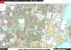
Edmonton, Alberta Tourist Map
508 miles away
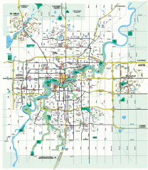
Edmonton Map
City street map of the metro Edmonton area in Alberta.
508 miles away
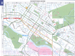
Boise, Idaho Downtown Map
Map of the downtown area of Boise, Idaho includes all streets, parks and the Boise State University.
512 miles away
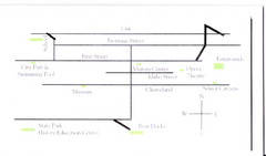
Glenns Ferry City Map
City map of Glenns Ferry, Idaho with information
576 miles away


 Explore Maps
 Map Directory
