
Haute Route Ski Tour Map - Verbier Variant
Ski tour topo route map of the European Alps' most famous alpine ski tour connecting two...
0 miles away
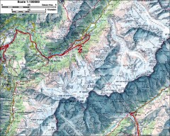
Mont Blanc topographic map
topo map of Mont Blanc, France; highest point in the Alps
26 miles away
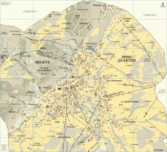
Megeve Village Map
Detailed map of Megève village, France shows roads, building outlines, and in-town ski lifts.
32 miles away
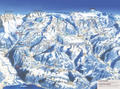
Portes du Soleil Ski Trail Map
Official ski map of the Portes du Soleil region. Winter 2007-2008 key figures: 278 ski-runs...
32 miles away
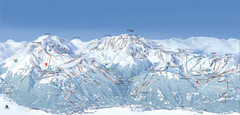
Paradiski Ski Trail Map
Official ski trail map of Paradiski ski areas from the 2007-2008 season. Includes Les Arcs, Peisey...
37 miles away
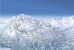
Les Arcs Ski Trail Map
Official ski trail map of Les Arcs ski area from the 2007-2008 season.
37 miles away
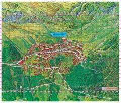
Bettmeralp Summer Map
Summer tourist map of town of Bettmeralp, Switzerland. With reference grid.
48 miles away
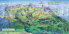
Courcheval Mountain Biking Map
Panoramic downhill mountain biking trail map of Courcheval, France in Vanoise National Park.
49 miles away
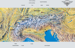
Alps Top Resort Town Map
Shows 12 top 4 season mountain resort towns in the Alps in France, Switzerland, Austria, and Italy.
83 miles away
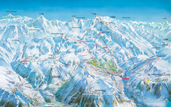
Vaujany Ski Trail Map
Ski trail map of Vaujany, France ski region. Shows lift systems from Vaujany, Oz En Oisans Station...
84 miles away

St. Moritz Tourist Map
Tourist map of St. Moritz, Switzerland. Shows summer and winter points of interest.
128 miles away
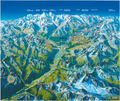
Engadin St. Moritz Region Summer Map
Summer panoramic tourist map of Engadin region of Switzerland. Includes St. Moritz, Piz Bernina...
128 miles away
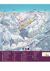
Malbun Ski Trail Map
Ski trail map of area surrounding Malbun, Liechtenstein. Also shows walking routes.
136 miles away
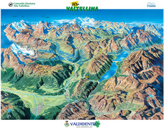
Valdidentro Alta Valtellina Summer Map
Panorama tourist map of the region of Valdidentro Alta Valtellina from Bormio, Italy to Livigno...
147 miles away
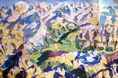
Bormio Panorama Map
Panorama tourist map of Bormio, Italy. Shows Ortler Alps in distance. From photo.
154 miles away

Sulden Trafoi Summer Hiking Map
Summer hiking route map of Sulden (Solda) Italy, Trafoi, Italy and Stelvio, Italy. Shows hiking...
160 miles away
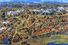
Eastern Alps Italy and Austria Overview Map
Panoramic map of the mountains and towns of northern Italy, the Tyrol, and southern Austria
169 miles away
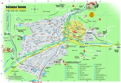
Bolzano Tourist Map
Tourist map of Bolzano, Italy.
199 miles away
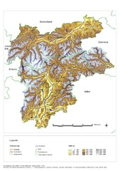
South Tyrol Elevation Map
Physical relief map of the South Tyrol region in present-day borders of Italy and Austria.
206 miles away
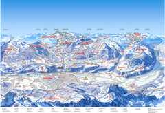
Innsbruck Region Ski Map
Shows ski regions around Innsbruck, Austria
215 miles away
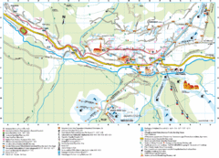
Santa Cristina Tourist Map
Tourist map of town of Santa Cristina Val Gardena, Italy. Santa Cristina lies on the sunny side of...
217 miles away
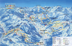
Gastein Ski Trail Map
Ski trail map of the Gastein Valley in Austria. Shows lift systems from Bad Gastein, Bad...
290 miles away
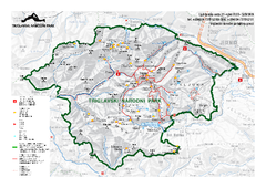
Triglav National Park Map
Triglav National Park is the only Slovenian national park. The park was named after Triglav, the...
310 miles away
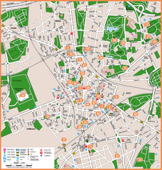
Bochum Tourist Map
Tourist map of central Bochum, Germany. Shows points of interest; numbers correspond to more info...
381 miles away


 Explore Maps
 Map Directory
