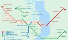
Official Kyiv Metro Map (Ukrainian)
Official metro map of Kyiv. Schematic, not tied to geography. In Ukrainian.
0 miles away

Dnipropetrovs'k Metro Map (Russian)
Metro map of Dnipropetrovs'k. Schematic, not tied to geography. In Russian.
251 miles away
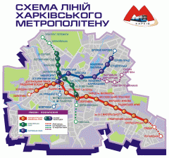
Official Kharkiv Metro Map (Ukrainian)
Official metro map of Kharkiv. In Ukrainian.
257 miles away
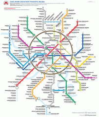
Official Moscow Metro Map (Russian)
Official metro map of Moscow. Schematic, not tied to geography. In Russian.
470 miles away
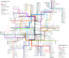
Vienna Public Transportation Map
654 miles away
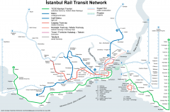
Istanbul Rail Transit Network Map
Shows suburban trains, metro (underground trains), light rail, modern tramways, historic tramways...
655 miles away
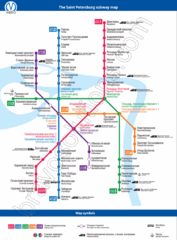
St. Petersburg Subway Map
Russian and English labeling for each stop and symbol.
656 miles away
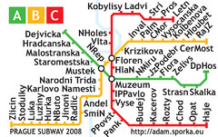
Prague Metro Map 2008 (for small displays)
Small version of Prague metro map of mobile phones, etc.
710 miles away
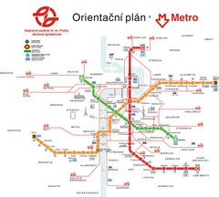
Prague Public Transport Map
Public transportation in Prague
710 miles away
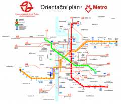
Prague Metro and Strret Car Map
Overview of Prague's metro and bus lines. Date unknown.
710 miles away
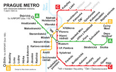
Prague Metro 2008 Map
711 miles away
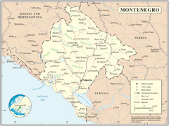
Montenegro map
754 miles away
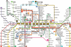
Munich Metro Map
Metro map of Munich, Germany. In German.
866 miles away

Munich public transportation system Map
This MVV network map, probably the best known one, shows all lines and stops for the urban rail and...
866 miles away
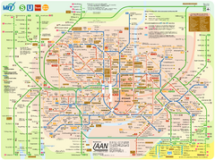
Munich Public Transportation Map
866 miles away
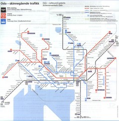
Oslo, Norway Public Transportation Map
1012 miles away
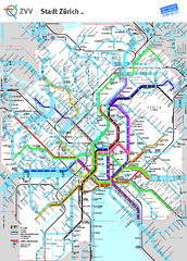
Zurich Metro Map
Official metro map from ZVV. Shows lines in central Zurich, Switzerland.
1017 miles away
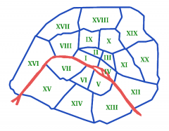
Arrondissements de Paris Map
Les arrondissements de Paris, du 1er au 20ème. (The boroughs of Paris, 1 through 20).
1258 miles away
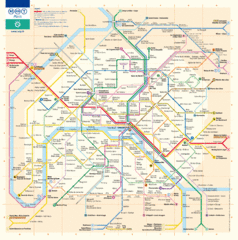
Paris Metro Map
Official map of the Paris metro. "Le grand classique de la RATP"
1258 miles away
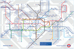
London Underground Map
Official map of the London Underground. An evolution of the original design conceived in 1931 by...
1325 miles away
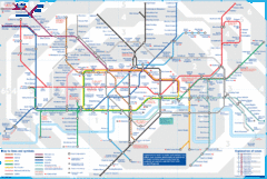
London Underground Tube Map
Map of London's underground Tube
1326 miles away
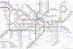
Tube Map
Map of London's Tube transportation lines and stops
1326 miles away
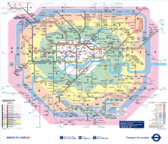
London, England Underground Map
1326 miles away
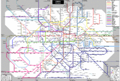
London Subway Map
1326 miles away
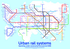
Diagram linking cities with Urban rail systems Map
Made for the book "Transit Maps of the World" this London Underground inspired diagram...
1326 miles away
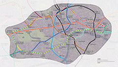
London Underground Zone 1 with Street Map
The London Underground Zone 1 geographically overlaid on city streets.
1327 miles away
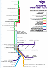
Israel Railways Map
Map of railway lines throughout countries
1328 miles away
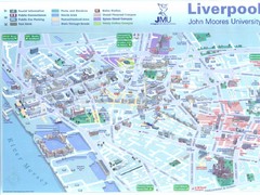
John Moores University Map
Campus map of John Moores University, Liverpool, UK
1429 miles away
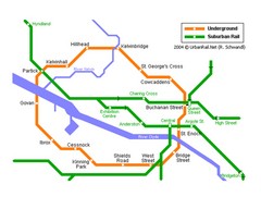
Glasgow Subway Map
Guide to underground and suburban rail
1472 miles away
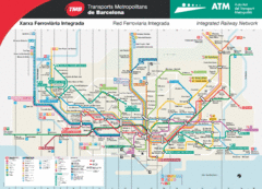
Barcelona Metro Map
Metro map of the Barcelona, Spain integrated railway network.
1489 miles away
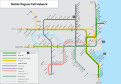
Dublin, Ireland Region Rail Map
1564 miles away
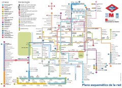
Madrid Metro Map
Metro map of Madrid (in Spanish)
1780 miles away


 Explore Maps
 Map Directory
