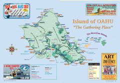
Island of Oahu tourist map
Tourist map of Oahu Island of the Hawaiian Islands. Shows points of interest, dining, and...
0 miles away
Near oahu, hawaii
1182 × 816•199 KB•GIF
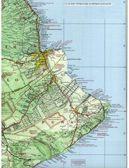
Puna Map
239 miles away
Near Puna, Hawaii
1700 × 2200•844 KB•JPG
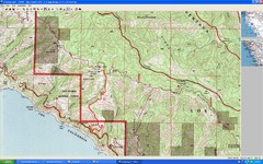
Timber Top, Big Sur Map
Route we climbed to Timber Top in Big Sur. Very steep trail.
2400 miles away
1680 × 1050•630 KB•JPG
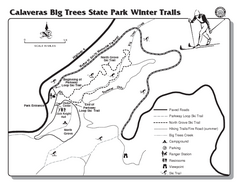
Calaveras Big Trees State Park Winter Map
Map of park with detail of winter ski trails and recreation zones
2516 miles away
Near Calaveras Big Trees State Park, Arnold, CA
103 KB•PDF

Waynesville and Lake Junaluska Panoramic Map
Panoramic Map taking in Waynesville, Lake Junaluska and the Richland Creek watershed in Haywood...
4554 miles away
Near waynesville, north carolina
4598 × 1880•813 KB•JPG
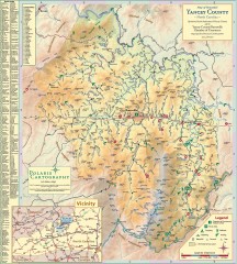
Yancey County Chamber of Commerce Map
Map of Yancey County, North Carolina. Shows all public roads, communities, hiking trails and picnic...
4586 miles away
Near burnsville, north carolina
3154 × 3507•1.3 MB•JPG
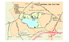
Memorial Lake State Park map
Detailed map of Memorial Lake State Park in Pennsylvania
4833 miles away
Near Grantville, PA 17028-9682
375 KB•PDF
page 1 of 1


 Explore Maps
 Map Directory
