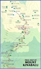
Mt Kinabalu Trail map
Trail map of route to summit of Mt. Kinabalu, the highest mountain in Malaysia at 4,101m. Please...
0 miles away
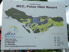
Pulao Ubin Island Trail Map
Trail map of Pulao Ubin Island, Singapore. Shows trails and facilities. From photo of sign.
927 miles away
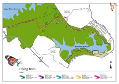
Singapore Island Nature Reserve Hiking Map
Nature reserve on Singapore island.
939 miles away
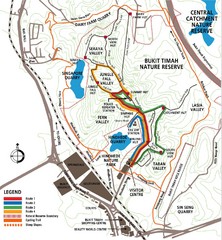
Bukit Timah Nature Reserve Map
Shows hiking and biking trails in Bukit Timah Nature Reserve in Singapore
941 miles away
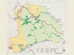
Yushan National Park Hiking Map
Trail map of Yushan National Park, Tawian. Home to highest mountain in Taiwan and East Asia...
1243 miles away
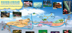
Wuling Farm Heping Tourist Map
Wuling farm, Taiwan.
1300 miles away
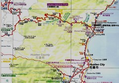
Taroko National Park Map
Places of interest.
1302 miles away
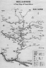
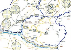
Nanxi River Tourist Map
Map of Nanxi River, Wenzhou, China.
1489 miles away
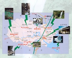
Ruian Tourist Map
Ruian tourist map. Places of interest.
1524 miles away
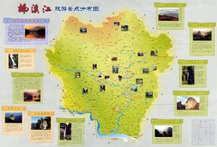
Nanxi River Detailed Tourist Map
Nanxi Jiang River, detailed descriptions.
1547 miles away
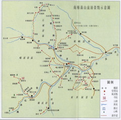
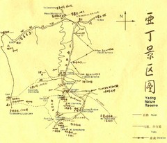
South Yandang Mountain Tourist Map
South Yandang Mountain trails.
1570 miles away
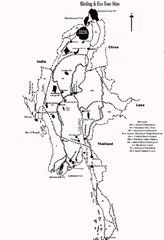
Southeast Asia Ecotourism Map
Bird watching, ecotourism.
1738 miles away
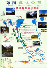
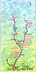
Hailuogou National Glacier Park Map
Trails, rivers and lakes.
1876 miles away
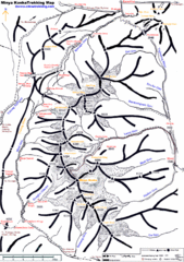
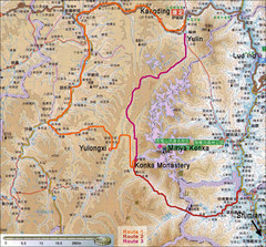
Minya Konka Trekking Map
Trekking map of Minya Konka (Mt. Gongga / Gongga Shan). Minya Konka is located in eastern Tibet...
1903 miles away
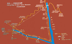
Meili Snow Mountain Hiking Map
Hiking trail map of Meili Snow Mountain (Kawakarpo) near Lijiang, China. Kawagebo is one of the...
1934 miles away
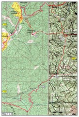
Dochula to Lungchuzekha Gonpa trail map 1
Dochula to Lungchuzekha Gonpa trail . Near Thmphu,Bhutan
2298 miles away
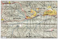
Dochula to Lungchuzekha Gonpa trail map 2
2298 miles away
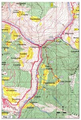
Trail to Paga Monastery Map
Trail to Paga Monastery near Chudzomtsa
2302 miles away
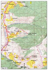
Trail from Sisina to Kunzangdechen monastery Map
Sisina to Kunzangdechen trail
2303 miles away
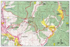
Trail from Yangchenphug HS to Thadranang and...
Yangchenphug high school to Thadranang, Oselpang near Hongtso
2304 miles away
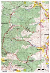
Trail to Bemri Lhakhang Map
Trail to Bemri Lhakhang south of Thimphu
2304 miles away
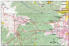
Dechenphodrang and Pajoding, Thimphu Map
Dechenphodrang to Pajoding, Tujedrag and Pumola monastaries
2305 miles away
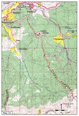
Simtokha-Talakha trail near Thimphu Map
Simtokha to Talakha trail
2305 miles away
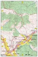
Khasadrapchu to Thimphu trail pt 1 Map
2305 miles away
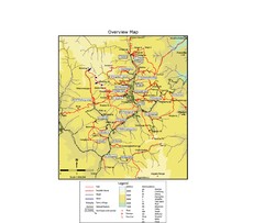
Thimphu trekking trails Map
Overview map of day hikes around Thimphu, Bhutan
2306 miles away
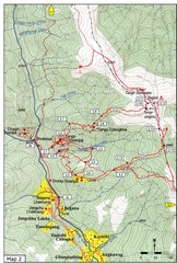
Trails near Tango Monastery, Thimphu Map
Trails around Tango Monastery, Thimphu, Bhutain
2307 miles away
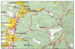
Dechencholing to Sinchula, Thimphu Map
Dechencholing,Kabisa
2307 miles away
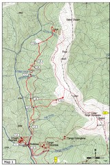
Trails near Cgagri monastery, Thimphu Map
trails near Chagri monastery Thimphu, Bhutan
2307 miles away
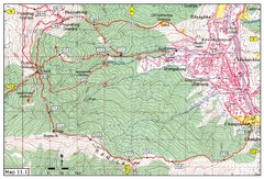
Trail fom Youth Center Thimphu to Pumola...
Way to Pumola monastery
2308 miles away
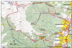
Dechenphu Valley, Thimphu Map
2308 miles away
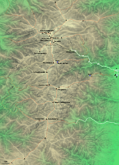
Kiso-Komagatake Hiking Map
Map of Chuo Alps.
2458 miles away


 Explore Maps
 Map Directory
