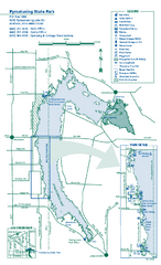
Pymatuning State Park Map
Detailed recreation map for Pymatuning State Park in Ohio
0 miles away
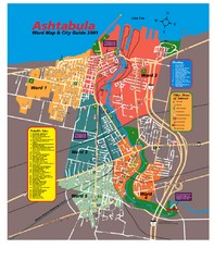
Ashtabula Tourist Map
Tourist map of Ashtabula, Ohio, situated on Lake Erie. Shows wards, notable sites, boating info...
26 miles away
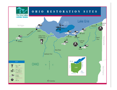
Lake Erie Restoration Sites Map
Shows restoration sites for Lake Erie in Ohio
123 miles away
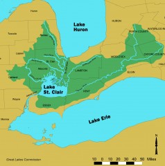
Lake St. Clair/St. Clair River watershed Map
Shows the Lake St. Clair/St. Clair River watershed.
127 miles away
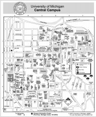
University of Michigan - Ann Arbor Map
University of Michigan - Ann Arbor, campus map. All buildings shown.
175 miles away
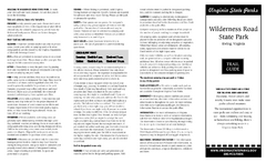
Wilderness Road State Park Map
Clearly marked state park map and legend.
195 miles away
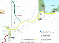
Buck Creek Trail Map
206 miles away
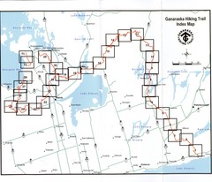
Ganaraska Hiking Trail Map
Map of the hiking trail at Ganaraska forest in Canada. Shows roads, surrounding lakes, towns and...
216 miles away
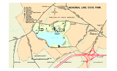
Memorial Lake State Park map
Detailed map of Memorial Lake State Park in Pennsylvania
218 miles away
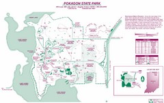
Pokagon State Park Map
Trail map of Pokagon State Park on Lake James in Angola, Indiana
236 miles away
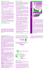
Chain O' Lakes State Park, Indiana Site Map
256 miles away
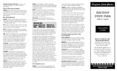
Douthat State Park Map
Clear state park map with marked facilities.
259 miles away
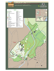
Brandywine Creek State Park Map
Easy to read map and legend of this beautiful state park.
285 miles away
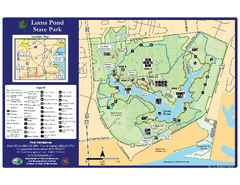
Lums Pond State Park Map
Clear legend and map of this wonderful state park.
286 miles away
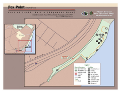
Fox Point State Park Map
Clear and simple state park map.
291 miles away
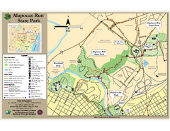
Alapocas Run State Park Map
Detailed map and clear legend for this nice state park.
296 miles away
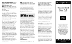
Westmoreland State Park Map
Fishing, hiking, camping and more are all available at this state park.
305 miles away
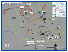
Killens Pond State Park Map
Map of Delaware State Park.
316 miles away
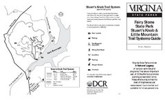
Fairy Stone State Park Map
Clearly marked state park map with trail system.
333 miles away
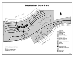
Interlochen State Park, Michigan Site Map
340 miles away
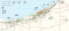
Indiana Dunes National Park Map
Indiana Dunes Park Visitors Map
341 miles away
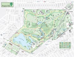
Prospect Park Map
Overview map of Prospect Park, a 585-acre city park located in the heart of Brooklyn. Designed by...
345 miles away
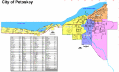
Petoskey Street Map
Street map of Petoskey, Michigan. Official city map.
345 miles away
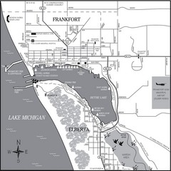
Frankfort-Elberta City Map
City map of Frankfort and Elberta, Michigan on shore of Lake Michigan.
359 miles away
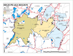
Adirondacks Canoeing Map
Guide to canoeing in the Adirondacks
364 miles away
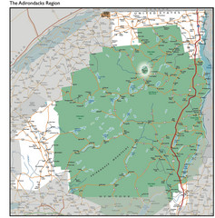
Adirondacks Lakes Map
Guide to lakes and waterways in the Adirondacks Park Preserve
368 miles away
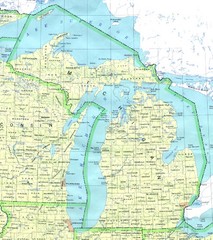
Lake Michigan Map
377 miles away
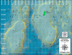
Gull Island Bathymetric Map
391 miles away
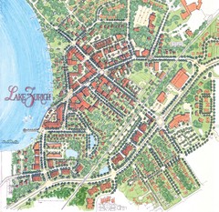
Lake Zurich, Illinois Tourist Map
395 miles away
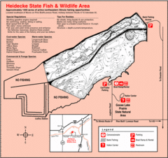
Heidecke Lake, Illinois Site Map
408 miles away
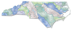
Watersheds North Carolina Map
North Carolina’s rivers link the Blue Ridge, Piedmont, and Coastal Plain. This map shows the...
411 miles away
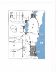
Eastern Wisconsin Map
411 miles away

White River State Trail Map
Take the White River Trail from Elkhom to Burlington through nature's backyard.
415 miles away
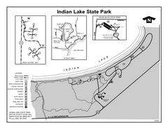
Indian Lake State Park, Michigan Site Map
420 miles away
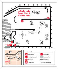
LaSalle Lake, Illinois Site Map
424 miles away
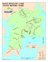
Dale Hollow Lake State Park Map
Map of trails and facilities of Dale Hollow Lake State Park.
429 miles away
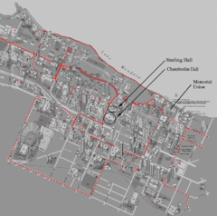
University of Wisconsin-Madison Campus Map
Map of the University of Wisconsin Campus. Includes all buildings, streets, and auditoriums.
470 miles away
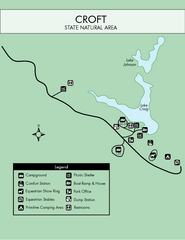
Croft State Park Map
Simple state park map.
470 miles away
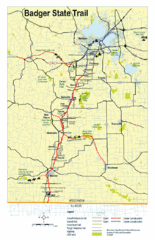
Badger State Trail Map
One of Wisconsin's best trails.
471 miles away
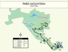
Paris Mountain State Park Map
Clearly labeled map of this beautiful state park.
473 miles away


 Explore Maps
 Map Directory
