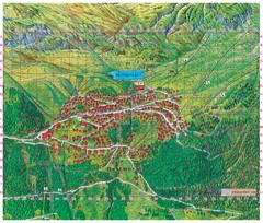
Bettmeralp Summer Map
Summer tourist map of town of Bettmeralp, Switzerland. With reference grid.
0 miles away
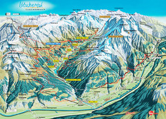
Lötschental Lauchernalp Summer Trail Map
Summer trail map of Lötschental Valley area. Shows hiking trails, towns, and mountains. The...
14 miles away
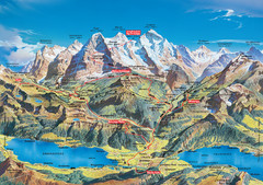
Jungfrau Grindelwald region summer map
This map is a summer panorama looking south from Interlaken toward the Jungfrau, Eiger, and the...
16 miles away
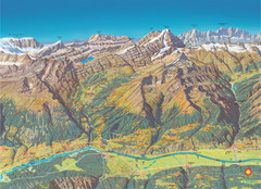
Leukerbad Summer Trail Map
Summer hiking trail map from Leukerbad.
20 miles away
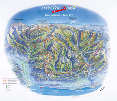
Portes du Soleil Summer Map
Summer recreation map of the Portes du Soleil covers both the French and Swiss sides of the area...
70 miles away
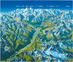
Engadin St. Moritz Region Summer Map
Summer panoramic tourist map of Engadin region of Switzerland. Includes St. Moritz, Piz Bernina...
86 miles away
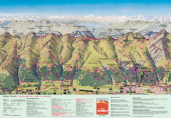
Davos Schatzalp Summer Trail Map
Trail map showing summer trails and lifts at Davos Schatzalp in Davos, Switzerland.
89 miles away
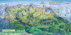
Courcheval Mountain Biking Map
Panoramic downhill mountain biking trail map of Courcheval, France in Vanoise National Park.
96 miles away
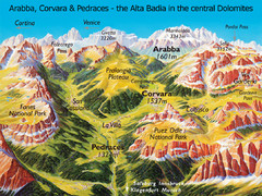
Arabba Corvara Pedraces Summer Map
Summer map of Alta Badia region in Italian Dolomites
182 miles away
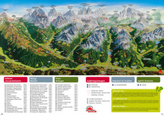
Alta Pusteria Summer Map
Panoramic summer hiking map of the Alta Pusteria, Italy, in the South Tyrol. Shows towns...
193 miles away
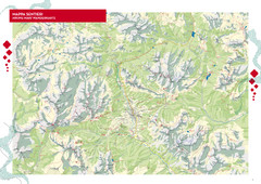
Cortina d'Ampezzo Hiking Map
Summer hiking map of the Cortina d'Ampezzo, Italy area in the heart of the Dolomite Mountains...
194 miles away
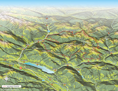
Nockberge National Park Map
Outline map of Nockberge National Park, Austria in the summer. Shows surrounding towns.
268 miles away
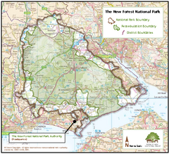
The New Forest National Park Map
Nice map with clear park boundaries.
540 miles away
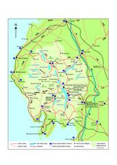
Lake District National Park Map
Detailed map marking the roads and boundaries of on of Britain's National Parks.
746 miles away
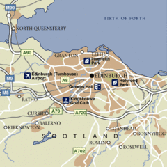
Edinburgh City Map
Simple city map marking parks, airports, streets and more.
821 miles away
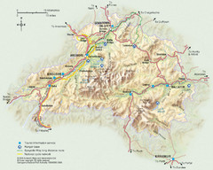
Cairngorms National Park Map
This map shows the boundaries of the Cairngorms National Park, which stretch from Grantown on Spey...
893 miles away
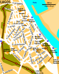
Lagos City Map
Clear road map of this beautiful city.
1073 miles away
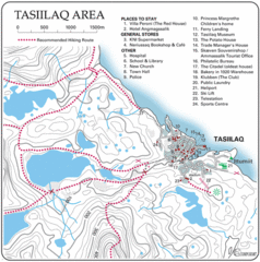
Tasiilaq City Map
Clear map marking facilities and roads.
2137 miles away
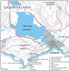
Qaqortoq City Map
Clear map and legend marking facilities, hotels, roads and more in this beautiful city.
2348 miles away
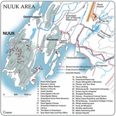
Nuuk Map
Clearly marked map with detailed legend marking facilities and resources.
2531 miles away
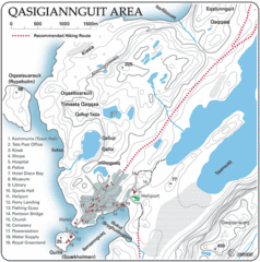
Qasigiannguit City Map
Clear and descriptive map marking facilities, roads, hotels and more.
2533 miles away
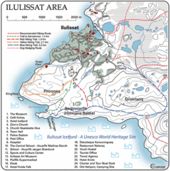
Ilulissat City Map
Detailed map and legend of this amazing city.
2534 miles away
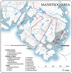
Maniitsoq City Map
Map and legend clearly marking facilities and roads.
2566 miles away
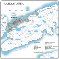
Aasiaat City Map
Clear map and legend of this beautiful city.
2572 miles away
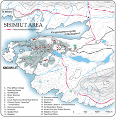
Sisimuit City Map
Clearly labeled city map and legend.
2589 miles away
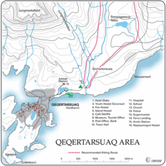
Qeqertarsuaq City Map
Clearly marked city map and detailed legend.
2595 miles away
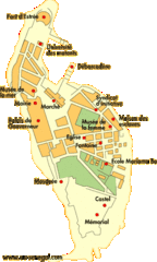
Goree Island Map
Clear map of this small beautiful island.
2642 miles away
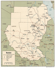
Sudan Map
Railroads, tracks, cities and borders are are marked on this clear map and legend.
2680 miles away
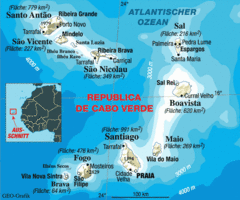
Cape Verde Map
Clear map of these small African islands.
2795 miles away
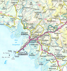
Conakry Map
Map marking airports, rivers, cities and geography of this Guinea city.
2846 miles away
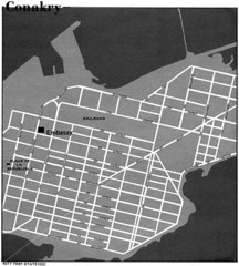
Conakry Road Map
Large and clear road map.
2853 miles away
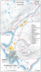
Narssaq City Map
Clearly marked city map and legend.
2920 miles away
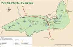
Gaspesie National Park Map - Summer
Official SEPAQ map of Gaspesie National Park in the Gaspe Peninsula, Quebec. Show trails, huts...
3323 miles away
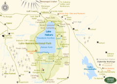
Lake Nukuru Map
Lake Nukuru and its surrounding areas provide for an amazing safari experience.
3658 miles away
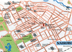
Nairobi City Map
Close up map marking roads and parks in downtown Nairobi.
3733 miles away
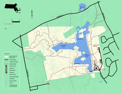
Ames Nowell State Park Map
Simple map of this beautiful state park. Visit and hike, bike, and shop!
3760 miles away
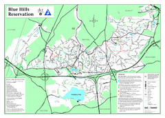
Blue Hills State Park Map
Clearly marked state park map of this beautiful state park.
3760 miles away
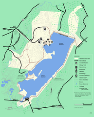
Ashland State Park Map
Clear map and legend marking trails, parking, facilities and more.
3775 miles away
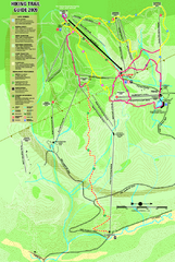
Killington Hiking Trail Map
Hiking trail map of Killington Ski Area summer trails. Shows life zones and geologic features.
3778 miles away


 Explore Maps
 Map Directory
