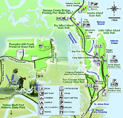
Jacksonville Area Florida State Parks Map
Overview map of Florida State Parks near Jacksonville, Florida. Shows Pumpkin Hill Creek Preserve...
0 miles away
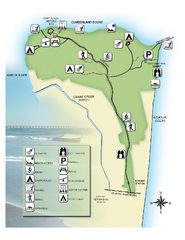
Fort Clinch State Park Map
Park map of Fort Clinch State Park in Amelia Island, Florida. Shows fort historic site, facilities...
16 miles away
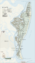
Cumberland Island National Seashore Map
Official NPS map of Cumberland Island National Seashore, Cumberland Island, Georgia. Rated #4...
26 miles away
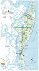
Cumberland Island Map
Map of Cumberland Island, including hiking trails and campgrounds
28 miles away
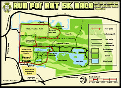
Hilton Head Run for Ret 5K Race Course Map
Hilton Head Island Run for Ret 5K Race Course, Aug 30, 2008.
124 miles away
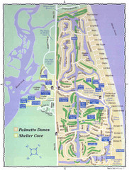
Palmetto Dunes Map
126 miles away
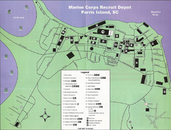
Parris Island Marine Corps Recruit Depot Map
Map of the Parris Island Marine Corps Recruit Depot near Beaufort, South Carolina. Shows...
138 miles away
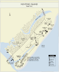
Hunting Island State Park Map
Shows facilities of Hunting Island State Park, South Carolina. Rated the #8 beach in America by...
145 miles away
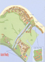
Harbor Island Real Estate Map
148 miles away
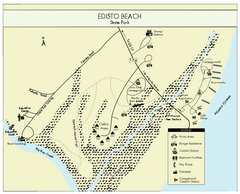
Edisto Beach State Park Map
Clearly labeled map of this beautiful state park.
158 miles away
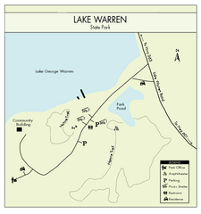
Lake Warren State Park Map
Clearly marked state park map.
165 miles away
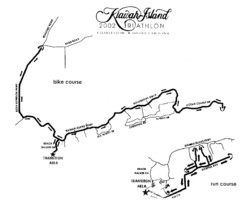
Kiawah Island Triathlon Map
Map of Kiawah Island Triathlon course, 2002
171 miles away
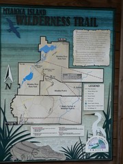
Myakka Island Trail Map
Trail map of Myakka Island. From photo.
228 miles away
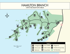
Hamilton Branch State Park Map
Simple state park map.
231 miles away
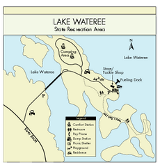
Lake Wateree State Park Map
Clear map of State Park.
252 miles away

Huntington Beach State Park Map
Detailed map and legend of this beautiful state park.
254 miles away
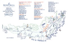
Sanibel Island Tourist Map
Tourist map of Sanibel Island, Florida
279 miles away
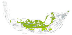
Sanibel Island and Captiva Island Map
280 miles away
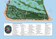
Bald Head Island Tourist Map
312 miles away
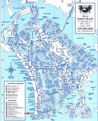
Marco Island Map
313 miles away
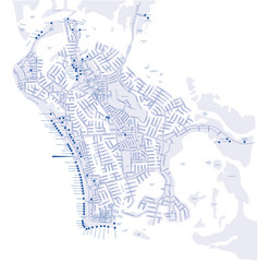
Marco Island Hotel Map
Hotel map of Marco Island, Florida
313 miles away
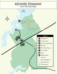
Keowee Toxaway State Park Map
Clear and detailed map of this wonderful state park.
319 miles away
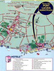
Freeport tourist map
Tourist map of Freeport on Grand Bahama Island in the Bahamas.
321 miles away
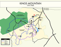
Kings Mountain State Park Map
Clearly marked state park map.
323 miles away
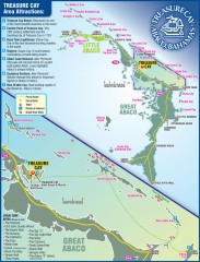
Abaco Bahamas tourist map
Tourist maps of Great and Little Abaco Islands in the Bahamas of the Caribbean. Shows diving sites...
372 miles away

Gulf Islands National Seashore Park Map
Official NPS map of the Gulf Islands National Seashore Park. Largest National Seashore in the US...
374 miles away
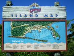
Castaway Cay Island Tourist Map
Tourist map of Disney's private Castaway Cay Island in the Bahamas. From photo of sign.
387 miles away
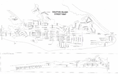
Dauphin Island Street Map
395 miles away
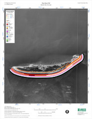
Ship Island Map
446 miles away
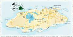
Nassau Island Map
451 miles away
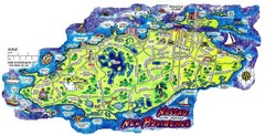
Nassau New Providence Island Map
Tourist map of New Providence Island, Bahamas
451 miles away
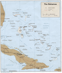
Bahamas Tourist Country Map
452 miles away
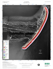
Cat Island Map
Cat Island NW Coastal Classification
453 miles away
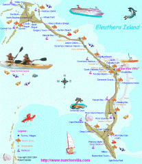
Eleuthera Tourist Map
Tourist map of Eleuthera Island of the Bahamas.
480 miles away
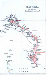
Eleuthera Island Map
486 miles away
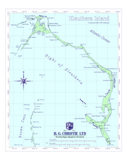
Eleuthera Island Map
489 miles away
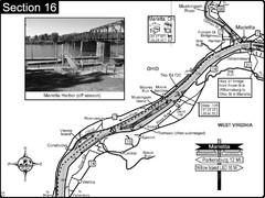
Ohio River at Marietta, OH and 8 miles downriver...
This is a page from the Ohio River Guidebook. The map shows important information for boaters and...
618 miles away
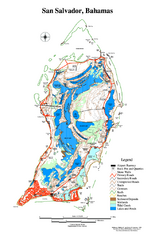
San Salvador map
Tourist map of San Salvador in the Bahamas.
619 miles away
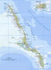
Tourist map of Long Island in the Bahamas
Tourist map of Long Island and Rum Cay in the Bahamas.
636 miles away


 Explore Maps
 Map Directory
