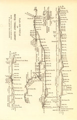
1904 New York City Subway Map
The New York City Subway Map in 1904
0 miles away
Near New York City
1732 × 2700•705 KB•JPG
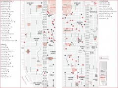
Midtown Manhattan, New York Map
Tourist map of midtown Manhattan in New York City, New York. Shows accommodations, restaurants, and...
1 mile away
Near Manhattan, NY
1265 × 946•317 KB•JPG
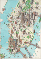
Manhattan New York Map
Aerial map of New York illustrated by UK illustrator Katherine Baxter.
2 miles away
Near New York
3398 × 4842•2.7 MB•JPG
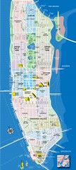
Manhattan Tourist Map
Tourist map of Manhattan, showing Museums, buildings of interest, and various neighborhoods.
2 miles away
Near manhattan, new york
720 × 1600•891 KB•JPG
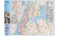
NYC Biking Route Map (Manhattan & Queens)
Official NYC biking map of Manhattan and Queens.
4 miles away
Near NYC
1.4 MB•PDF

Sanitary & Topographical Map of the City and...
The 1865 Viele Map of Manhattan is still used today to locate springs and streams that have long...
4 miles away
Near New York, NY
7888 × 2492•4.7 MB•JPG
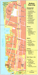
Battery Park City Map
City map of Battery Park City, an area of Manhattan, with art highlighted
5 miles away
Near Battery Park City, New York
700 × 1381•616 KB•JPG
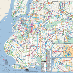
Brooklyn, New York Bus Map
Official MTA Bus Map of Brooklyn, New York. Shows all routes.
8 miles away
Near Brooklyn, New York
669 KB•PDF
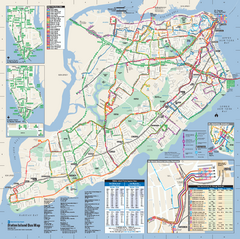
Staten Island Bus Map
Official Bus Map of Staten Island. Shows all routes.
16 miles away
Near Staten Island, NY
430 KB•PDF
page 1 of 1


 Explore Maps
 Map Directory
