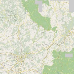
Luxembourg Bike Map
0 miles away
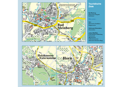
Horn-Bad Meinberg Map
Street map of Horn-Bad Meinberg and surrounding area
202 miles away
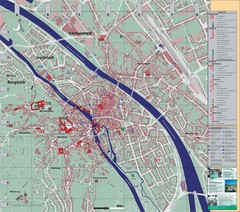
Bamberg City Map
City map of Bamberg, Germany
213 miles away
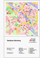
Bamberg Tourist Map
Tourist map of downtown Bamberg
213 miles away
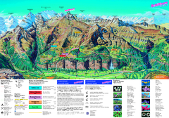
Schilthorn Summer Trail Map
Summer hiking map of Mürren-Schilthorn area. Shows lifts and trails.
225 miles away
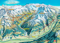
Lötschental Lauchernalp Summer Trail Map
Summer trail map of Lötschental Valley area. Shows hiking trails, towns, and mountains. The...
233 miles away
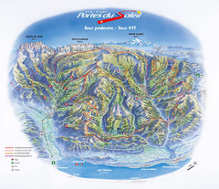
Portes du Soleil Summer Map
Summer recreation map of the Portes du Soleil covers both the French and Swiss sides of the area...
238 miles away
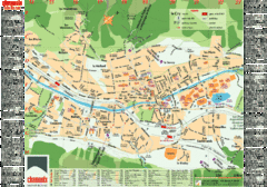
Chamonix Tourist Map
Tourist street map of Chamonix, France. In French.
256 miles away
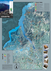
Lake Como Mountain Biking Trail Map
Trail map of mountain biking routes around Lake Como, Italy.
290 miles away
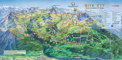
Courcheval Mountain Biking Map
Panoramic downhill mountain biking trail map of Courcheval, France in Vanoise National Park.
290 miles away
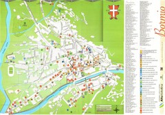
Bormio Tourist Map
Tourist map of town of Bormio, Italy. Legend of all streets and services.
292 miles away

Sulden Trafoi Summer Hiking Map
Summer hiking route map of Sulden (Solda) Italy, Trafoi, Italy and Stelvio, Italy. Shows hiking...
292 miles away

Sulden Ski Trail Map
Ski trail map of Sulden (Solda), Italy in the Ortler Alps. Shows trails and lifts.
295 miles away
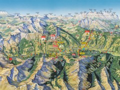
Saalbach Hinterglemm Summer Hiking Map
Summer panorama map of Saalbach and Hinterglemm Austria area. Shows trails, lifts, huts, and peaks.
333 miles away
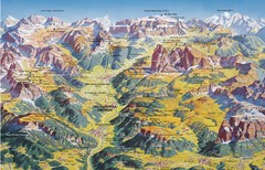
Val Gardena Summer Trail Map
Summer panoramic trail map of the Val Gardena, Italy area in the heart of the Dolomite Mountains...
334 miles away
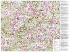
Val di Fassa Hiking Map
Hiking trail map of the Val di Fassa, Italy region. Highly detailed.
338 miles away
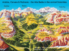
Arabba Corvara Pedraces Summer Map
Summer map of Alta Badia region in Italian Dolomites
338 miles away
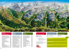
Alta Pusteria Summer Map
Panoramic summer hiking map of the Alta Pusteria, Italy, in the South Tyrol. Shows towns...
340 miles away
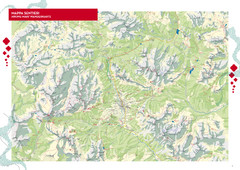
Cortina d'Ampezzo Hiking Map
Summer hiking map of the Cortina d'Ampezzo, Italy area in the heart of the Dolomite Mountains...
347 miles away
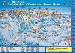
San Martino di Cartozza Ski Trail Map
Ski trail map of San Martino di Cartozza, Italy
350 miles away
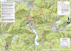
Central Austria Hiking Map
Large map of hiking and emergency services.
367 miles away
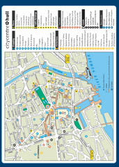
Hull City Centre Map
Tourist map of city of Hull. Shows points of interest including shopping, attractions, places...
399 miles away
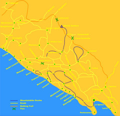
Cinque Terre Mountain Biking Trail Map
Mountain biking trail map of routes near Levanto and the Cinque Terre, Italy. Shows trails, roads...
409 miles away
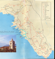
Tellaro Trail Map
Trail map showing marked and unmarked paths and other tourist points of interest. In English.
422 miles away
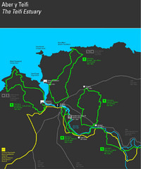
Cardigan Walks Map
Trail map of 6 circular walks in the Cardigan area ranging between four and a half and six and a...
503 miles away
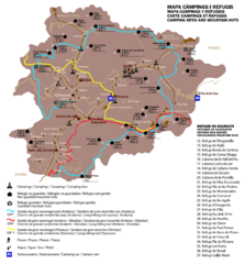
Andorra Long Hiking Routes, Mountain Huts, and...
Shows long hiking trails (grande randonee), mountain hits (refuges), and camping sites in Andorra
534 miles away
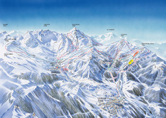
Benasque-Cerler Region Ski Trail Map
Ski trail map of the Benasque-Cerler region in the Pyrenees. Shows lift systems and trails from...
554 miles away
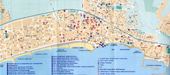
Sitges Tourist Map
Tourist map of Sitges, Spain. Show points of interest.
615 miles away
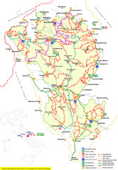
Parco Nazionale della Majella Trail Map
Trail map of Majella National Park (Parco Naz. della Majella) in Italy. Indicates under revision...
647 miles away
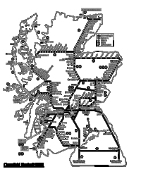
Scotland Rail Map
Guide to rail and ferries in Scotland
649 miles away
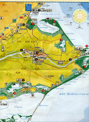
Deltebre Spain Tourist Map
Tourist Map of Deltebre, Spain and surrounding areas including the park features. Map is in...
668 miles away

Island of Hvar Map
Map of the Island Hvar, Croatia showing roads and cities.
674 miles away
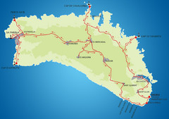
Minorca Cycling Map
675 miles away
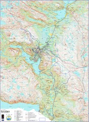
Hovden Norway Trail Map
Hovden has a total of 170 km cross-country skiing trails
691 miles away
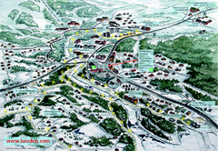
Hovden Town Map
Village map of Hovden, Norway. Panoramic view shows tourist buildings and lighted cross country...
691 miles away
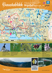
Skipsfjellet Hiking Map
Hiking trail map of Skipsfjell, Norway near Rjukan, Norway. Shows moderate 2 hour loop hike and...
719 miles away
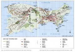
Capri Tourist Map
Tourist map of island of Capri, Italy. Shows roads, hotels, beaches, and other points of interest...
739 miles away
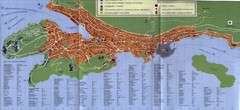
Dubrovnik City Map
City map of Dubrovnik, Croatia. Street index and shows services. Scanned.
747 miles away
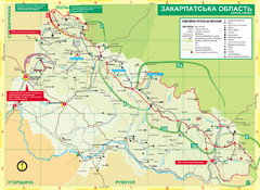
Transcarpathia Hiking Trail Map
Map of the Transcarpathia Hiking Trail (THT) in Ukraine. Trail runs through the territory of...
777 miles away
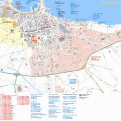
Bari Tourist Map
Tourist map of Bari, Italy. Shows consulates and points of interest.
783 miles away


 Explore Maps
 Map Directory
