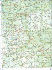
Kilmeen Area County Cork Map
Road and topo map of Kilmeen area in southwestern County Cork.
12 miles away
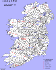
Ireland County/ Barony Map
Barony and County Map of Ireland
128 miles away
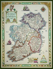
Hand-Drawn Ireland Map
Guide to Ireland and Northern Ireland, in Gaelic
184 miles away
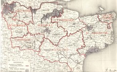
Kent, England County Map
432 miles away
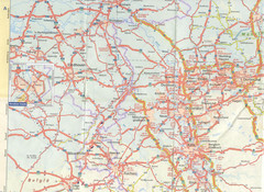
Maastricht Map
Highway map of Maastricht area
644 miles away
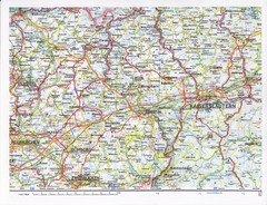
Gerhardsbrunn Map
751 miles away
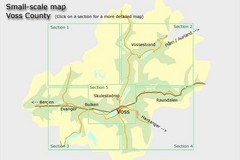
Voss County, Norway Region Map
851 miles away
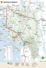
Ostfold County Map
Road map of Ostfold County, Norway.
937 miles away
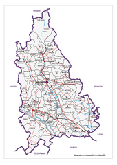
Dambovita County, Romania Map
Administrative map of Dambovita County, Romania. The map shows, also, all important roads.
1647 miles away
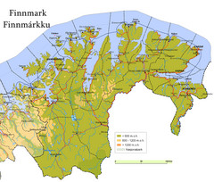
Finnmark County Map
Elevation map of Finnmark County, Norway. Color shading shows meters above sea level and national...
1672 miles away
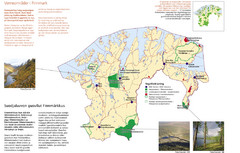
Finnmark Nature Parks and Reserves Map
National parks and nature reserves of Norwegian county of Finnmark. From wikipedia: "In the...
1673 miles away
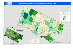
Montgomery County Tree Cover Map
Poster map of tree cover of Montgomery County, Pennsylvania
3163 miles away
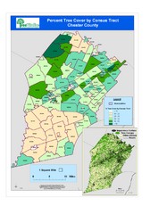
Chester County Tree Cover Map
Poster map of tree cover in Chester County, Pennsylvania
3189 miles away
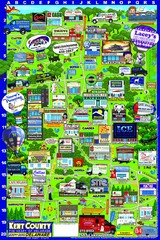
Kent County, Delaware Map
3214 miles away
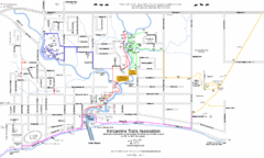
Kincardine Street & Trail Map
3255 miles away
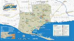
Norfolk County Tourist Map
Tourist map of Norfolk County, Ontario.
3273 miles away
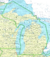
Lake Michigan Map
3353 miles away
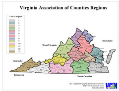
Virginia Counties Map
3410 miles away
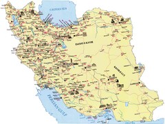
Iran Map
3502 miles away
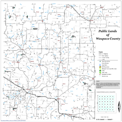
Public Lands of Waupaca County Map
3526 miles away
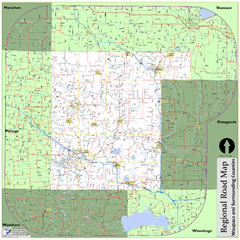
Regional Road Map of Waupaca County, Wisconsin
3534 miles away
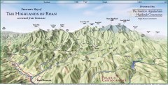
Panoramic Map of the Highlands of Roan (from TN)
Panoramic map of the Highlands of Roan as seen from Tennessee.
3621 miles away
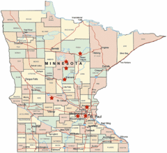
Minnesota County Map
3648 miles away
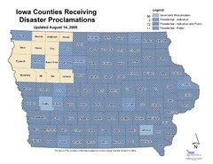
Iowa County Map
Iowa counties that receive disaster funding
3806 miles away
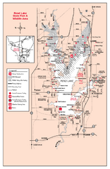
Rend Lake State Park, Illinois Site Map
3816 miles away
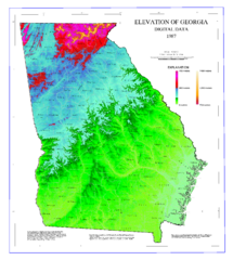
Map of Georgia Elevations
Digital elevation map of Georgia, U.S.
3846 miles away
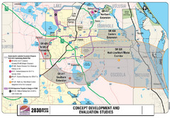
Orlando County Map
3953 miles away
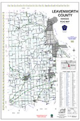
Leavenworth County Road Map
County road map of Leavenworth County, Kansas
4010 miles away
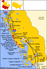
Bradenton Beach Map
Bradenton Beach and surrounding beach map.
4062 miles away
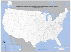
United States County Map
County map of the US
4133 miles away
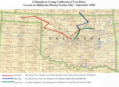
Oklahoma County Map
4289 miles away
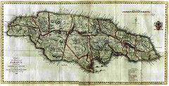
Jamaica County Map
Island map of Jamaica showing counties and parishes "Shows plantations, settlements, churches...
4314 miles away
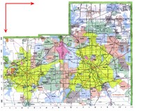
Dallas/ Fort Worth Map
Metropolitan Map of Dallas and Fort Worth. Includes highways, roads, towns and county divisions.
4401 miles away
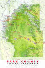
Park County Heritage Map
Shaded relief map of Park County, Colorado shows heritage landscapes, mountains, and
4408 miles away
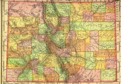
Colorado State map 1895
Map of the state of Colorado, 1895. Shows counties and major topography.
4414 miles away
Minturn Map
4417 miles away
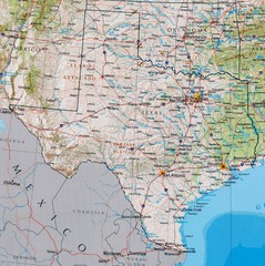
Texas Map
4470 miles away


 Explore Maps
 Map Directory
