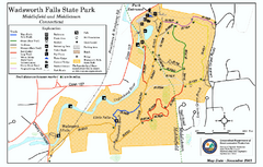
Wadsworth Falls State Park map
Trail map of Wadsworth Falls State Park in Connecticut.
0 miles away
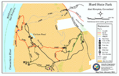
Hurd State Park trail map
Trail map for Hurd State Park in Connecticut.
7 miles away
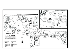
Dinosaur State Park map
Trail map of Dinosaur State Park in Connecticut.
9 miles away
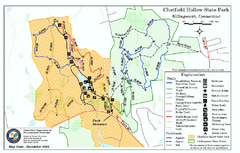
Chatfield Hollow State Park map
Trail map of Chatfield Hollow State Park
12 miles away
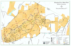
Sleeping Giant State Park map
Trail map for Sleeping Giant State Park in Connecticut.
12 miles away
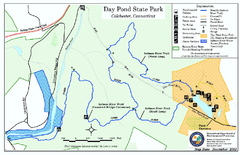
Daypond State Park map
Trail map for Day Pond State Park
14 miles away
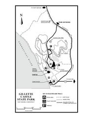
Gillette State Park trail map
Trail map of Gillette Castle State Park in Connecticut.
15 miles away
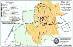
Gay City State Park trail map
Trail map of Gay City State Park in Connecticut.
18 miles away
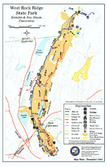
West Rock Ridge State Park map
Trail map of West Rock Ridge State Park in Connecticut.
18 miles away
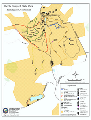
Devils Hophard State Park map
Trail and camprground map for Devils Hopyard State Park in Connecticut.
18 miles away

Hammonasset Beach State Park campground map
Campground map of Hammonasset State Park in Connecticut.
20 miles away

Hammonasset Beach State Park map
Trail map for Hammonasset Beach State Park in Connecticut.
20 miles away
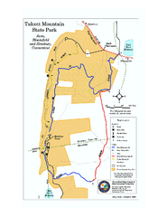
Talcott Mountain State Park map
Trail map of Talcott Mountain State Park in Connecticut.
22 miles away
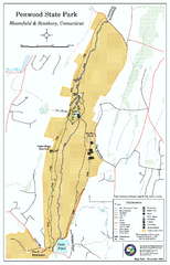
Penwood State Park map
Trail map of Penwood State Park in Connecticut.
23 miles away
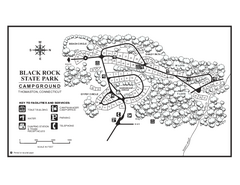
Black Rock Campground map
Map of the Campgrounds in Black Rock State Park.
23 miles away
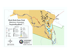
Black Rock State Park trail map
Trail map of Black Rock State Park in Connecticut.
23 miles away
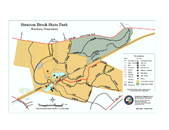
Stratton Brook State Park map
Trail map of Stratton Brook State Park in Connecticut.
24 miles away
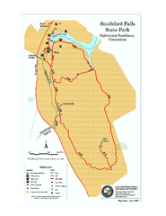
Southford Falls State Park map
Trail map for Southford Falls State Park in Connecticut.
25 miles away
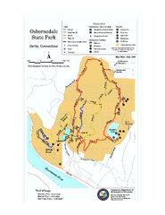
Osbornedale State Park map
Trail map of Osborndale State Park in Connecticut.
25 miles away
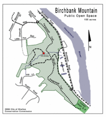
Birchbank Park Map
26 miles away
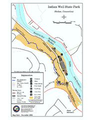
Indian Well State Park map
Trail map for Indian Well State Park in Connecticut.
27 miles away
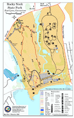
Rocky Neck State Park trail map
Trail map of Rocky Neck State Park in Connecticut.
28 miles away
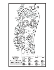
Rocky Neck State Park campground map
Campground map of Rocky Neck State Park in Connecticut.
28 miles away
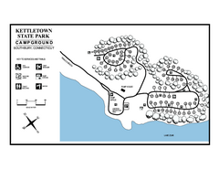
Kettletown State Park campground map
Campground map for Kettletown State Park in Connecticut.
28 miles away
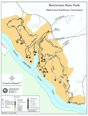
Kettletown State Park trail map
Trail map for Kettletown State Park in Connecticut.
28 miles away
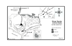
Silver Sands State Park map
Trail and campground map of Silver Sands State Park in Connecticut.
30 miles away
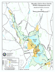
Mansfield Hollow State Park map
Map for Mansfield Hollow State Park and Wildlife Management Area in Connecticut.
31 miles away
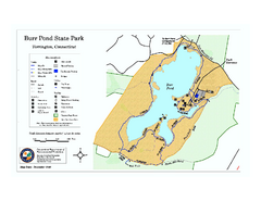
Burr Pond State Park map
Map of Burr Pond State Park in Connecticut.
32 miles away
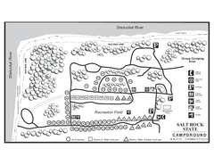
Salt Rock State Park campground map
Campground Map of Salt Rock State Campground in Connecticut.
33 miles away
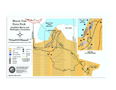
Mount Tom State Park trail map
Trail map of Mt. Tom State Park in Connecticut.
33 miles away
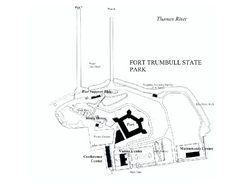
Fort Trumbull State Park map
Map of Fort Trumbull State Park in Connecticut.
33 miles away
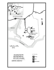
Harkness Memorial State Park map
Trail map of Harkness Memorial State Park in Connecticut.
34 miles away
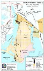
Bluff Point State Park map
Trail map for Bluff Point State Park and Coastal Reserve.
37 miles away
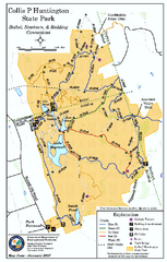
Collis P. Huntington State Park map
Trail map of Collis P. Huntington State Park in Connecticut
37 miles away
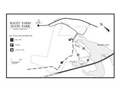
Haley Farm State Park map
Trail map of Haley Farm State Park in Connecticut.
38 miles away
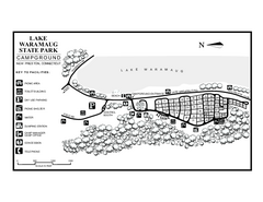
Lake Waramaug State Park campground map
Campground map of Lake Waramaug State Park.
38 miles away
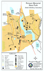
Putnam Memorial State Park map
Trail map for Putnal Memorial State Park in Connecticut,
38 miles away
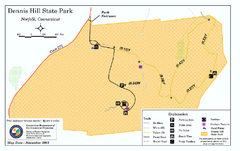
Dennis Hill State Park map
Trail map of Dennis Hill State Park in Connecticut.
39 miles away
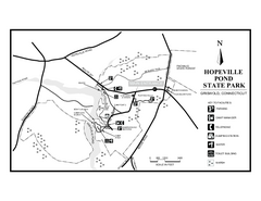
Hopeville Pond State Park trail map
Trail map for Hopevill Pond State Park in Connecticut
40 miles away
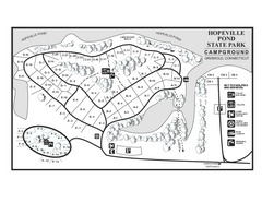
Hopeville Pond campground map
Campground map of Hopeville Pond State Park in Connecticut.
40 miles away


 Explore Maps
 Map Directory
