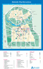
Adelaide Australia City Map
Adelaide, Austrailia city map showing bus, tram and rail lines, tourist attractions and restaurants
0 miles away
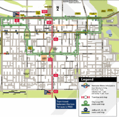
Adelaide Metro Map
2 miles away
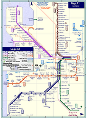
Adelaide Rail and Tram Map
Map of rail and tram systems throughout Adelaide and surrounding area
2 miles away
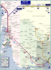
South Australia Map
Map of long-distance rail system throughout South Australia and Western Victoria
252 miles away
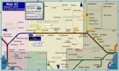
Western New South Wales Map
Map of long-distance rail system throughout Western New South Wales and East South Australia
368 miles away
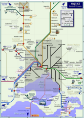
Central Victoria Rail Map
Map of rail system throughout Central Victoria region
399 miles away
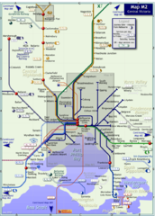
Melbourne Train Map
This map covers the region in the central part of the State of Victoria surrounding the city of...
407 miles away
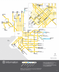
Melbourne Tram Map
407 miles away
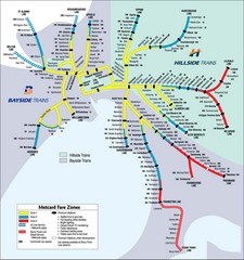
Melbourne Rail Map
Map of Melbourne rail system
407 miles away
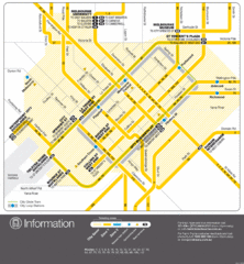
Melbourne, Australia Public Transportation Map
A map of tram service in Melbourne.
407 miles away
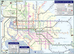
Melbourne, Australia Public Transportation Map
A detailed public transportation map of Melbourne, Australia.
407 miles away
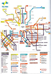
Melbourne Public Transportation Map
407 miles away
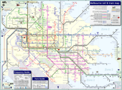
Melbourne Train & Tram Map
Map of Melbourne public transit
407 miles away
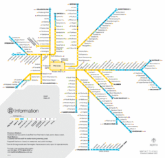
Melbourne Train Map
407 miles away
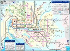
Melbourne Rail and Tram Map
Transportation in Melbourne
407 miles away
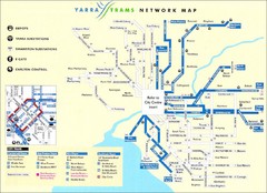
Melbourne Tram Map
Map of Melbourne tram system
407 miles away
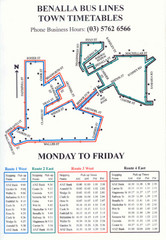
Benalla Bus Lines Map
Bus timetable and route map for town of Benalla
430 miles away
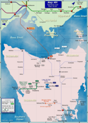
Tasmania Rail Map
Map of long-distance rail system from Melbourne to Tasmania
547 miles away
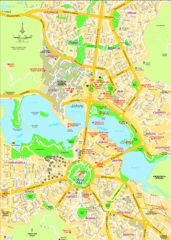
Canberra Street Map
596 miles away
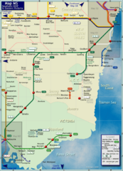
Southern New South Wales Rail Map
Map of long-distance rail system throughout Southwestern NSW and Eastern Victoria
700 miles away
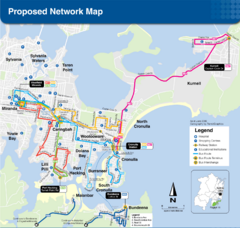
Region 11 Proposed Bus Network Map
718 miles away
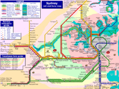
Sydney Rail and Ferry Map
Map of Sydney rail and ferry transit system
722 miles away
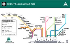
Sydney Ferries Map
Map of Sydney Ferry system with details of lines and stops
723 miles away
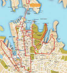
Sydney Bus Tour Map
723 miles away
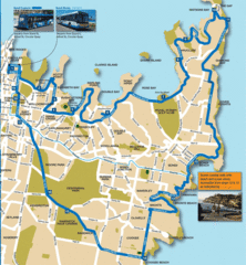
Sydney Bus Tour Map
723 miles away
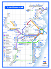
Sydney City Rail Network Map
Rail network map of Sydney, Australia.
723 miles away
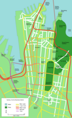
Sydney Central Business District Map
723 miles away
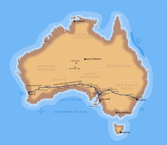
Indian Pacific Railroad Route Map
Detailed route map of the Indian Pacific Railroad. Shows the world's longest straight stretch...
727 miles away
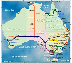
Australia Rail Map
Map of entire rail system throughout Australia
727 miles away
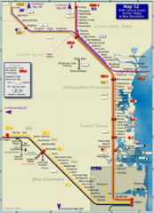
Hunter Valley Rail Map
Map of rail system throughout Hunter Valley, New South Wales Central Coast, and Blue Mountains
738 miles away
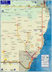
Northern New South Wales Map
Map of long-distance rail system throughout New South Wales and South East Queensland
757 miles away
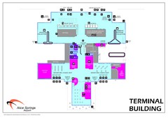
Alice Springs Airport Map
Terminal map of Alice Springs Airport (ASA), Australia.
820 miles away
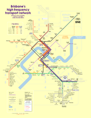
Brisbane frequent service guide Map
996 miles away
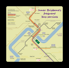
Inner Brisbane bus guide Map
996 miles away
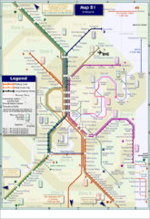
Brisbane Rail Map
Map of rail transit system in Brisbane
996 miles away
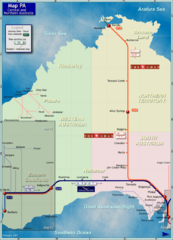
Central Australia Rail Map
Map of long-distance rail system throughout Central and Northern Australia
1000 miles away
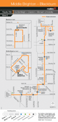
Brighton Transit Map
1004 miles away
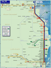
Southern Queensland Rail Map
Map of long-distance rail system throughout the Southern Queensland region
1012 miles away
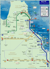
Northern Queensland Rail Map
Map of long-distance rail system throughout Northern Queensland
1192 miles away
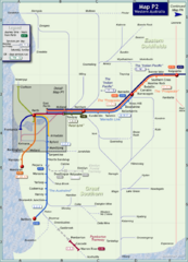
Western Australia Rail Map
Map of long-distance rail system throughout Western Australia
1258 miles away


 Explore Maps
 Map Directory
