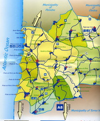
Lourinha Tourist Map
Lourinha, Portugal Tourist map showing cities, roads and some tourist sites/amenities.
0 miles away
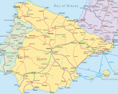
Spain Road Map
Map of Spain including some of Portugal and France showing cities and major roads.
307 miles away
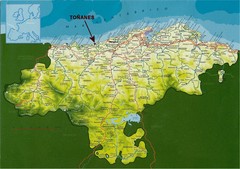
Cantabria, Spain Tourist Map
Cantabria, Spain tourist map showing roads, cities and tourist sites.
392 miles away
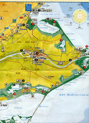
Deltebre Spain Tourist Map
Tourist Map of Deltebre, Spain and surrounding areas including the park features. Map is in...
541 miles away
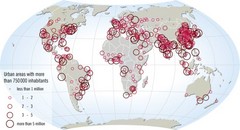
World map of large urban areas in 2005
The population in the urban areas of the world is increasing, and has been increasing throughout...
921 miles away
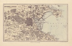
Dublin Environs Map
This is a map of Dublin surrounding areas - historical map.
986 miles away
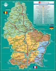
Luxembourg Tourism Map
Tourist Map of Luxembourg showing major roads, railways, and tourist attractions.
1052 miles away
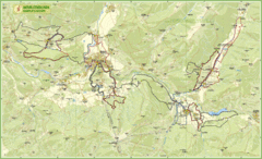
Nature Fitness Park in Kronplatz Dolomiti Map
Panoramic map of Nature Fitness Park in Dolomites. The park is very well signposted and its trails...
1187 miles away
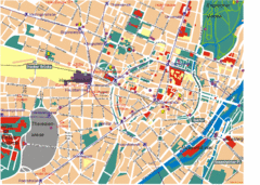
Munich Tourist Map
Tourist map of central Munich (München), Germany.
1207 miles away
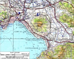
Mount Vesuvius Contour Map
Contour map of Mount Vesuvius and surrounding area. Rodad and cities also identified.
1258 miles away
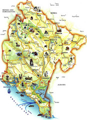
Montenegro Tourist Map
Tourist Map of Montenegro identifing tourist sites, roads and cities.
1499 miles away
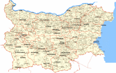
Bulgaria Cities Map
This is the map of Bulgaria with cities and towns identified.
1820 miles away
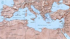
Mediterranean Map
Relief Map with countries and main cities surrounding the Mediterranean Sea.
1872 miles away
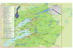
Central Norway Map
Maps covering Steinkjer - Verdal - Levanger - Inderøy in Norway. Maps show cities, rivers...
1905 miles away
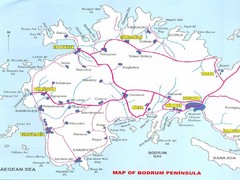
Bodrum Peninsula Map
Map showing major tourist cities and roads of the Bodrum pennisula in Turkey.
1987 miles away
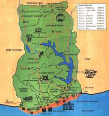
Ghana Tourist Map
Tourist map of Ghana with roads, distances and some tourist sites identified.
2225 miles away
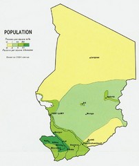
Chad Population Map 1964
Guide to the population of Chad, according to the 1964 census
2439 miles away
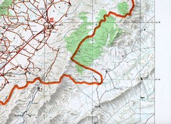
Baalbeck, Leabanon Map
Map showing details of the Baalbeck Distortion 2008
2526 miles away
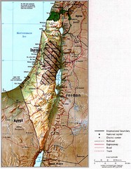
Israel Map
Map of Isreal and Surrounding areas from "Atlas of the Middle East", published in January...
2535 miles away
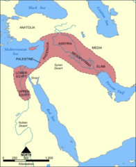
Fertile Crescent Map
Shows the Fertile Crescent of ancient times. Comprises parts of modern day Egypt, Israel, Lebanon...
2642 miles away
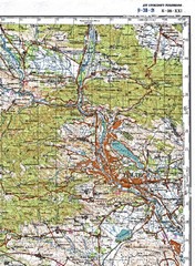
Tbilisi Topographic Map
Tbilisi Topographic Map. Note: This map is not in English.
2804 miles away
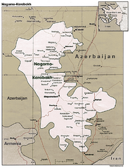
Nagorno-Karabakh Map
Major towns and borders are clearly marked on this map.
2937 miles away
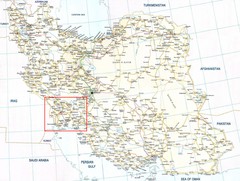
The Bakhtiari Nomads Kuch in Iran Map
Map of Iran which highlight the area of the Bakhtiari Nomads migration.
3266 miles away
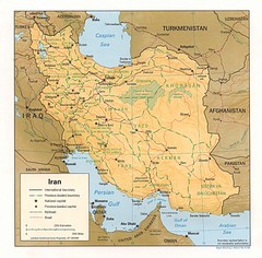
Iran Map
Map of Iran showing cities, provinces, railroads and roads.
3493 miles away
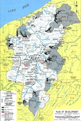
Pittsburgh District Development Map
Authorized Civil works projects for the Pittsburgh District marked as completed or in progress.
3635 miles away
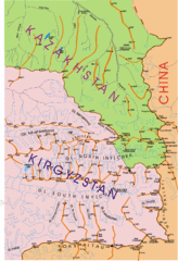
Kyrgyzstan and Central Asia Physical and...
Khan Tengri area maps
3710 miles away
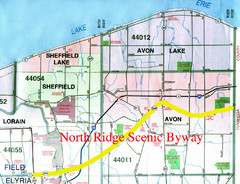
North Ridge Byway Map
The North Ridge Scenic Byway runs along Ohio State Route 254 in Lorain County, Ohio. Variously know...
3718 miles away
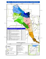
Ohio EPA Subwatersheds Boundaries in Darby...
Map shows watersheds by colors for West Central Ohio
3827 miles away
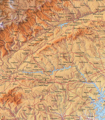
North Carolina Mountains Map
Location of the South, Brushy, and Blue Ridge Mountain ranges in Western North Carolina.
3852 miles away
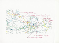
Carter County Cemetery Map
Cemeteries identified in Handwriting on map of Carter County with roads, cities and rivers.
3853 miles away
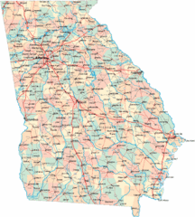
Georgia Road Map
Detailed, colorful road map of the state of Georgia.
4030 miles away
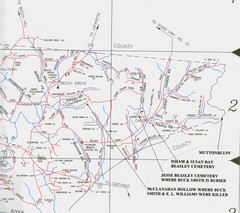
Trousdale County Muttonbluff Map
Pictured is a part of a map of Trousdale County containing the extreme northeast section. The...
4060 miles away
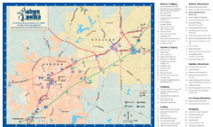
Auburn and Opelika City Map
Map of Auburn and Opelika, Alabama with tourist information.
4161 miles away
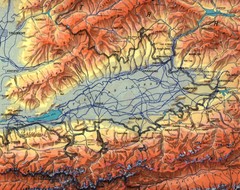
Kyrgyzstan Elevation Shaded Map
Kyrgyzstan Elevation Shaded - Note map is not in English
4255 miles away
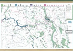
North Dakota Water Resources Map
North Dakota Counties, Rivers and Lakes Map
4373 miles away
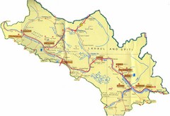
Lahaul Valley and Spiti Valley India Tourist Map
Tourist map for Lahaul Valley and Spiti Valley, India showing tourist sites and roads in the area.
4670 miles away
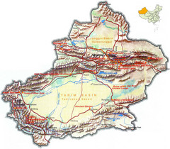
Xinjiang Region of China Tourist Map
Xinjiang, China Tourist Map showing tourist attractions, roads, cities, mountains and lakes.
4721 miles away
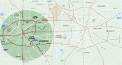
Fort Worth Surrounding Area Map
Metroplex map showing Fort Worth and it's connections to Dallas
4732 miles away
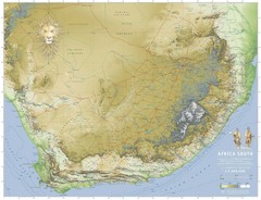
Africa South Full Map
A new relief map of Africa South showing some roads and towns and with boundaries natural replacing...
4793 miles away
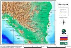
Nicaragua City and Town Elevation Map
Elevation map of Nicaragua with cities, towns, and airports detail.
4955 miles away


 Explore Maps
 Map Directory
