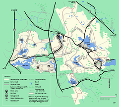
Harold Parker State Forest trail map
Trail map of Harold Parker State Forest in Massachusetts
0 miles away
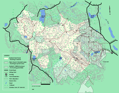
Boxford State Park trail map
Trail map of Boxford State Forest in Massachusetts
4 miles away
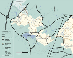
Willowdale State Forest map of Hood Pond
Trail map of the Hood Pond area of the Willowdale State Park in Massachusetts.
8 miles away
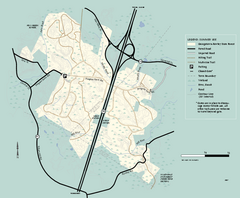
Georgetown-Rowley State Forest summer use map
Summer use map for Georgetown-Rowley State Forest.
8 miles away
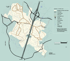
Georgetown-Rowley State Forest winter use map
Winter use map for the Georgetown-Rowley State Forest in Massachusetts.
8 miles away
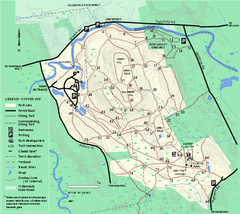
Bradley Palmer State Park winter map
Winter trail map of Bradley Palmer State Park.
10 miles away
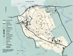
Bradley Palmer State Park summer map
Summer use map of Bradley Palmer State Park in Massachusetts
10 miles away
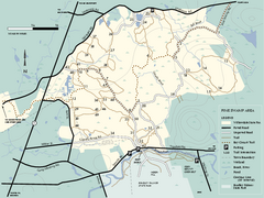
Willowdale State Forest map of Pine Swamp
Trail map of the Pine Swamp area of Willowdale State Park in Massachusetts.
10 miles away
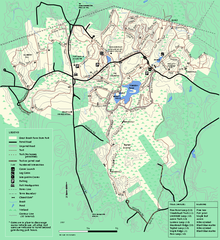
Great Brook Farm State Park trail map
Trail map of Great Brook Farm State Park.
14 miles away
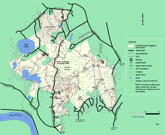
Lowell-Dracut-Tyngsboro State Forest trail map
Trail map for the Lowell-Dracut-Tyngsboro State Forest in Massachusetts
15 miles away
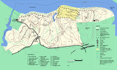
Maudslay State Park trail map
Trail Map of Maudslay State Park in Massachusetts.
17 miles away
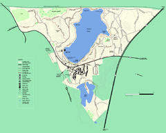
Walden Pond State Reservation trail map
Trail map of Walden Pond State Reservation
18 miles away
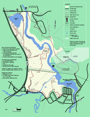
Cutler Park Reservation trail map
Trail map of Cutler Park Reservation in Massachusetts
24 miles away
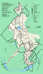
Stony Brook Reservation trail map
Trail map of the Stony Brook Reservation in Massachusetts.
25 miles away
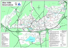
Blue Hills Reservation Trail Map
Trail map of the Blue Hills Reservation in Massachusetts
28 miles away
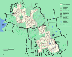
Callahan State Park trail map
Trail map of Callahan State Park in Massachusetts
28 miles away
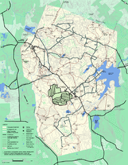
Wompatuck State Park trail map
Trail map of Wompatick State Park in Massachusetts.
31 miles away
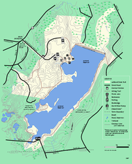
Ashland State Park Map
Map of Ashland State Park in Massachusetts.
33 miles away
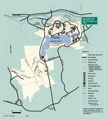
Hopkinton State Park trail map
Trail map of Hopkinton State Park in Massachusetts
34 miles away
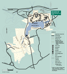
Hopkinton State Park trail map
Trail map of Hopkinton State Park in Massachusetts
34 miles away
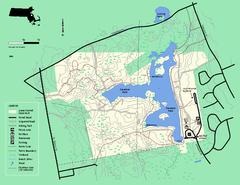
Ames Nowell State Park Map
Trail map of Ames Nowell State Park in Massachusetts
35 miles away
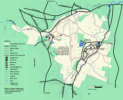
Willard Brook State Forest trail map
Trail map of Willard Brook State Forest in Massachusetts.
35 miles away
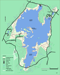
Whitehall State Park trail map
Trail map of Whitehall State Park in Massachusetts.
37 miles away
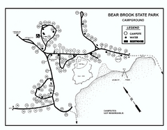
Bear Brook State Park Campground map
Campground map of Bear Brook State Park in New Hampshire
37 miles away
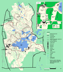
Borderland State Park trail map
Trail map of Borderland State Park in Massachusetts
38 miles away
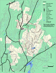
Upton State Forest trail map
Trail map for Upton State Forest in Massachusetts.
39 miles away
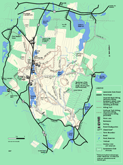
Leominster State Forest trail map
Trail map of Leominster State Forest in Massachusetts
39 miles away
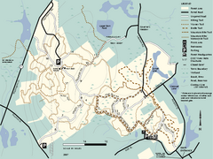
F. Gilbert Hills State Forest trail map
F. Gilbert Hills State Forest trail map in Massachusetts.
40 miles away
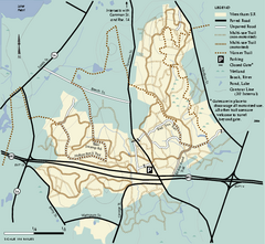
Wrentham State Forest trail map
Trail map of Wrentham State Forest in Massachusetts.
41 miles away
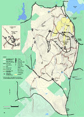
Wachusett Mountain State Reservation trail map
Trail map of Wachusett Mountain State Reservation in Massachusetts.
42 miles away
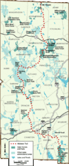
Midstate Trail Map
Map of the Midstate Trail, which runs from Ashburnham to the Rhode Island border. Shows state...
43 miles away
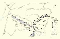
Purgatory Chasm State Reservation trail map
Trail map of Purgatory Chasm State Reservation in Massachusetts.
46 miles away
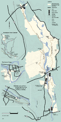
Blackstone Trail Map
Map of Blackstone River State Park in Massachusetts.
48 miles away
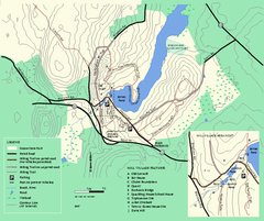
Moore State Park trail map
Trail map of Moore State Park in Massachusetts.
49 miles away
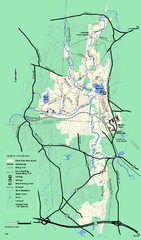
Otter River State Forest winter trail map
Winter usage trail map for Otter River State Park in Massachusetts.
51 miles away
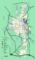
Otter River State Forest summer trail map
Summer trail map of the Otter River State Forest area in Massachusetts.
51 miles away
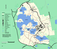
Massasoit State Park trail map
Trail map of Massasoit State Park in Massachusetts
52 miles away
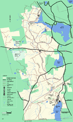
Douglas State Forest trail map
Trail map of the Douglas State Forest in Massachusetts
53 miles away
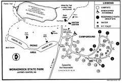
Monadnock State Park map
Campground map of Monadnock State Park in New Hampshire
54 miles away
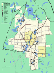
Myles Standish State Forest trail map
Summer trail map for Myles Standish State Forest.
57 miles away


 Explore Maps
 Map Directory
