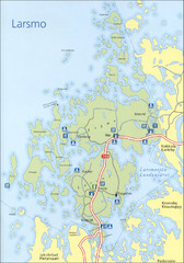
Larsmo Tourist Map
0 miles away
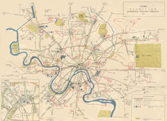
1960 Moscow Trolley-Bus and Tram Route Map
754 miles away
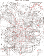
1929 Plan of City Bus Routes Map
754 miles away
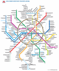
Moscow Public Transportation Map
754 miles away
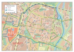
Poznan City Map
City map of center of Poznan, Poland. Shows bus and tram routes.
812 miles away
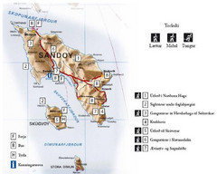
Sandoy Island Tourist Map
Tourist map of Sandoy, Faroe Islands. Shows ferry and bus stops and 7 hikes rated by difficulty
935 miles away
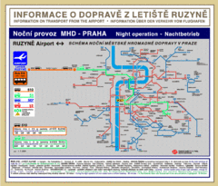
Prague Ruzyne Airport Night Public Transportation...
993 miles away
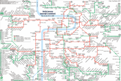
Prague Night Tram and Bus Lines Map
994 miles away
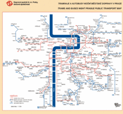
Prague Night Public Bus Tram Map
994 miles away
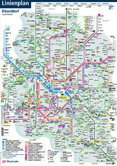
Dusseldorf Public Transport Network Map
Official Rheinbahn map shows municipal-rail, light rail and tramway system, as well as a close-knit...
1044 miles away
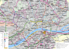
Frankfurt Public Transportation Map
Public transportation map of central Frankfurt, Germany. Shows bus and train routes.
1077 miles away
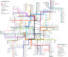
Vienna Public Transportation Map
1102 miles away
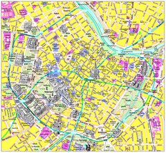
Vienna Inner City Tourist Map
Tourist map of inner city Vienna, Austria. 3D drawings of major buildings and palaces.
1102 miles away
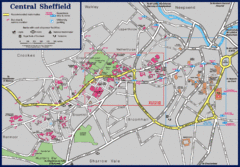
Central Sheffield Map
Map shows central Sheffield, England area. Bus stops and University of Sheffield parking areas...
1119 miles away
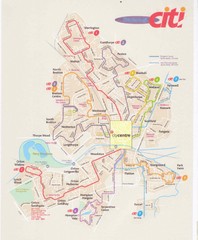
Peterborough Stage Coach Citi Bus Map
1129 miles away
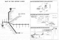
Central European University Metro and Bus Line Map
1133 miles away
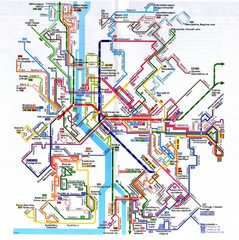
Budapest Public Transportation Map
1133 miles away
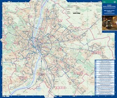
Budapest Night Bus Routes Map
Map of night bus routes in Budapest, Hungary
1133 miles away
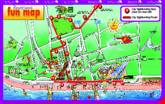
Blackpool Bus Tour Map
Blackpool Bus Tour Map - City Sightseeing
1139 miles away
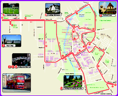
Cambridge Bus Tour Map
Cambridge Bus Tour Map - City Sightseeing
1140 miles away
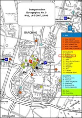
Map of the city of Garching, Germany
General visitor information including the locations of restaurants, hotels, bus stops and more.
1147 miles away
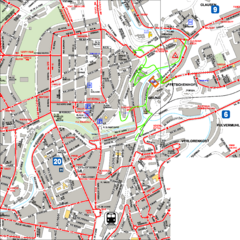
City Center with Bus and Rail Lines Map
1157 miles away
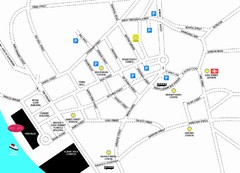
Merseytravel Headquarters Location Map
1158 miles away
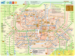
Munich Public Transportation Map
1159 miles away
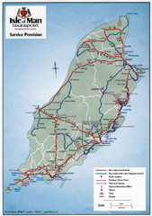
Isle of Man Transportation Map
1160 miles away
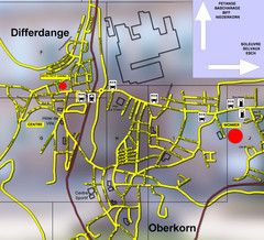
Differdange Bus Map
1167 miles away
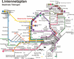
Tubingen Bus Map
Bus routes and connections, Tubingen, Germany. (German).
1173 miles away
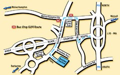
Bentley Map
Location map for Bentley. Includes roads, bus stops, and directions to Bentley Pavilion.
1175 miles away
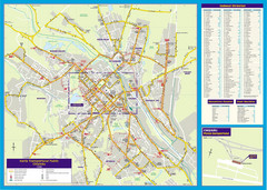
Chisinau Public Transportation Map
Public Transportation map of Chisinau, Moldova with street index. Shows bus routes. Inset of...
1181 miles away
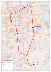
Gasworks/Belfast city centre shuttle Bus Map
Shuttle Bus service map between the Gasworks Estate and Belfast city centre.
1182 miles away
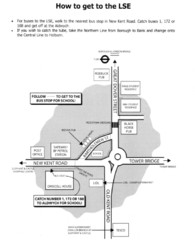
London School of Economics Bus Stop Map
How to get to the London School of Economics.
1185 miles away
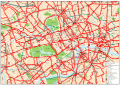
Central London Bus Map
1999 map from The London Tube Map Archive
1185 miles away
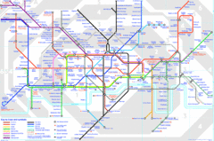
London Underground Map
London Underground map with all zones
1186 miles away
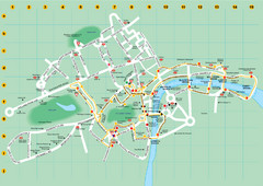
Ensignbus Sightseeing Bus Route Example Map
An example of one of many possible sightseeing routes from Ensignbus tours in London.
1186 miles away
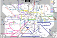
London Subway Map
1186 miles away
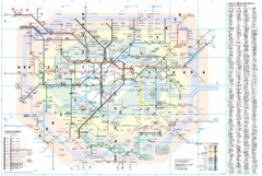
London Underground Map
1186 miles away
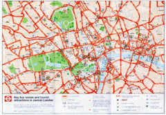
London Bus and Tourist Map
Key bus routes and tourist attractions in central London. Scanned.
1186 miles away
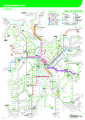
Graz Tram and Bus Map
Shows 8 tram lines and 23 bus lines in Graz, Austria
1187 miles away
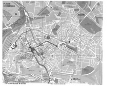
Strasbourg Map
Shows bus and tram itineraries to the Brethren Colleges Abroad office from the train station and...
1191 miles away
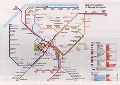
St. Georges Hospital Bus Services Map
1191 miles away


 Explore Maps
 Map Directory
