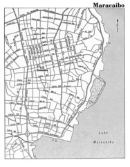
Maracaibo Street Map
less than 1 mile away
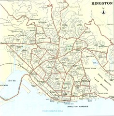
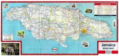
Kingston Street Map
Street map of city of Kingston, Jamaica.
617 miles away
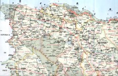
Dominican Republic North Region Road Map
Road map of the northwestern region of the Dominican Republic. Scanned.
621 miles away
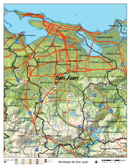
San Juan Road Map
Road map of San Juan, Puerto Rico area. Shows shaded elevation.
653 miles away
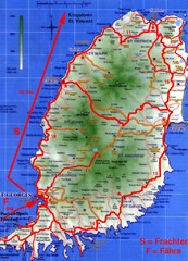
Grenada Island Road Map
684 miles away
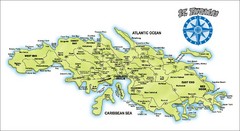
St. Thomas Island Map
Overview road map of island of St. Thomas in the U.S. Virgin Islands. Shows major roads, districts...
696 miles away
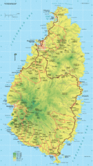
St. Lucia Island Map
High quality road and physical map of island of St. Lucia. Elevations are color-coded.
755 miles away
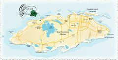
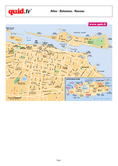
Nassau Island Map
1066 miles away
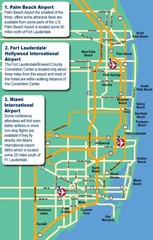
Fort Lauderdale Map
Fort Lauderdale and surrounding area map, including Airports and airport details.
1196 miles away
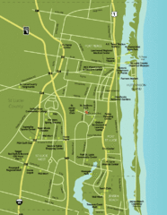
Port St. Lucie Map
Map of Port Saint Lucie.
1281 miles away
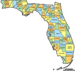
Florida Counties Map
1341 miles away
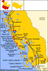
Bradenton Beach Map
Bradenton Beach and surrounding beach map.
1365 miles away
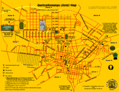
Quetzaltenango City Map
Large and detailed map.
1372 miles away
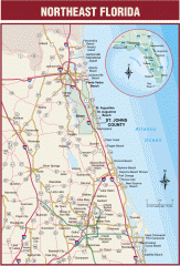
Northeast Florida Road map
A complete road map of the Northeast section of the state of Florida.
1434 miles away
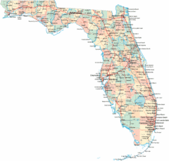
Florida Road Map
1435 miles away
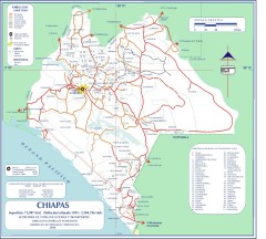
Chiapas Road Map
Road map of the Mexican state of Chiapas. Borders the Pacific Ocean and Guatemala. Shows roads and...
1471 miles away
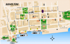
Hamilton City Map
Tourist map of central Hamilton, Bermuda. Shows major streets and parks.
1561 miles away
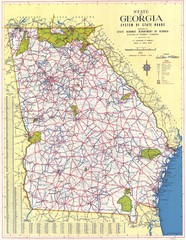
Georgia Road Map
Road map of state of Georgia, 1952
1692 miles away
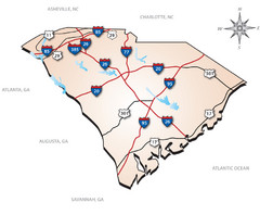
South Carolina Interstate Map
Shows Interstate highways in South Carolina
1696 miles away
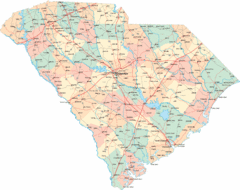
South Carolina Road Map
South Carolina state road map
1712 miles away
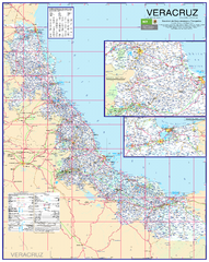
Veracruz Road Map
Detailed road map of the state of Veracruz. Inset of Veracruz city surroundings. In Spanish.
1731 miles away

North Carolina Road Map
Road map of North Carolina
1774 miles away
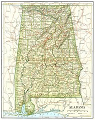
1891 Alabama Map
High quality 1891 Alabama map marking many cities and towns.
1788 miles away
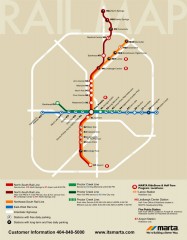
Atlanta MARTA rail map
Official rail map of the Metropolitan Atlanta Rapid Transit Authority.
1791 miles away
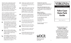
False Cape State Park Map
Clear state park map
1817 miles away
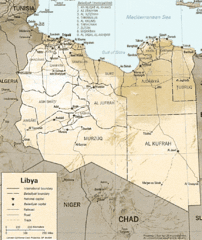
Lybia Map
Clear map and legend of this African Nation.
1857 miles away
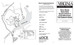
Fairy Stone State Park Map
Clearly marked state park map with trail system.
1884 miles away
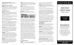
Douthat State Park Map
Clear state park map with marked facilities.
1951 miles away
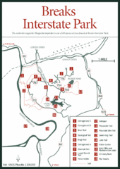
Breaks Interstate Park Map
Clear park map and legend.
1959 miles away
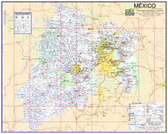
State of Mexico Road Map
Detailed road map of the Mexican state of Mexico. In Spanish.
1965 miles away
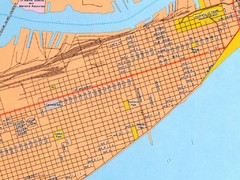
Galveston City Map
Street map of Galveston
1975 miles away
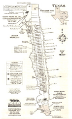
South Padre Island Map
Tourist map of South Padre Island
1981 miles away
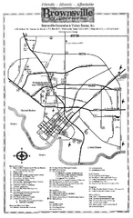
Brownsville Tourist Map
Tourist map of Brownsville with detail of local attractions
1993 miles away


 Explore Maps
 Map Directory
