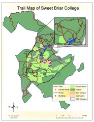
Sweet Briar College Trail Map
Trail map of Sweet Briar College campus and surrounding area
0 miles away
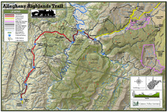
Trailmap72dpi Big Map
Detailed map of Allegheny Highland Trails and surrounding locations.
109 miles away
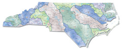
Watersheds North Carolina Map
North Carolina’s rivers link the Blue Ridge, Piedmont, and Coastal Plain. This map shows the...
125 miles away
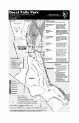
Great Falls Park Map
140 miles away
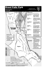
Great Falls Park Map
141 miles away
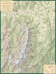
Black Mountains and South Toe and Cane River...
Guide to recreation around Mt. Mitchell State Park and Black Mountains
214 miles away
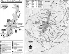
Mount Mitchell State Park map
Official map of Mt. Mitchell State Park in North Carolina. Park contains the 6,684 ft summit of...
216 miles away
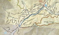
Montreat trail map
Detailed guide to the trail system surrounding the village of Montreat, NC.
222 miles away
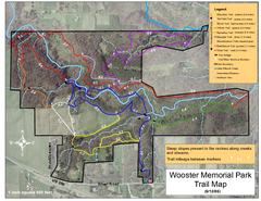
Wooster Memorial Park Trail Map
275 miles away
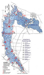
Pymatuning Lake State Park Fishing Map
Pymatuning Lake State Park fishing map
290 miles away
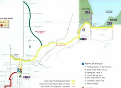
Buck Creek Trail Map
302 miles away
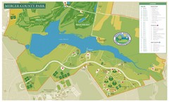
Mercer County Park Map
303 miles away
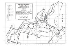
Hedden Park Map
Hedden County Park Trail Map
333 miles away
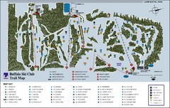
Buffalo Ski Club Trail Map
355 miles away
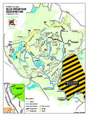
Blue Mountain Reservation Mountain Bike Trail Map
Mountain biking map of the Blue Mountain Reservation from the Westchester Mountain Biking...
377 miles away
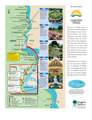
Niagara Garden Trail Map
Tourist map of attractions along the Garden Trail along the Canadian side of the St. Lawrence River...
385 miles away
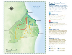
Esopus Meadows Preserve Trail Map
Trail map of Esopus Meadows Preserve park on the Hudson River.
404 miles away
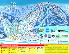
Hunter Mountain Trail Map
411 miles away
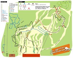
Hunter Mountain Bike Park Map
Map of bike trails in park
413 miles away
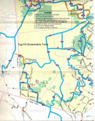
Tug Hill Trail Map
Tug Hill Area Snow Mobile Trail Map
451 miles away
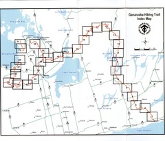
Ganaraska Hiking Trail Map
Map of the hiking trail at Ganaraska forest in Canada. Shows roads, surrounding lakes, towns and...
470 miles away
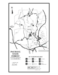
Pachaug State Forest map
Trail map of Pachaug State Forest in Connecticut.
474 miles away
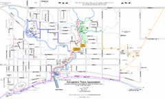
Kincardine Street & Trail Map
476 miles away
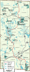
Midstate Trail Map
Map of the Midstate Trail, which runs from Ashburnham to the Rhode Island border. Shows state...
507 miles away
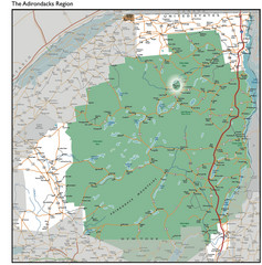
Adirondacks Lakes Map
Guide to lakes and waterways in the Adirondacks Park Preserve
519 miles away
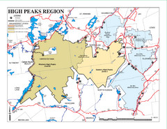
Adirondacks Canoeing Map
Guide to canoeing in the Adirondacks
525 miles away
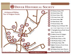
Dover Architectural Walking Map
Architectural walking tour of Hodgson Houses
526 miles away
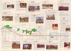
Old Plank Road Trail Map
Map and guide to the Old Plank Road Trail from Joliet, Illinois to Park Forest, Illinois
543 miles away
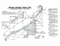
Chicago Portage Canoe Trail Map
Map of the Chicago Portage Canoe Trail in western Cook County on the Des Plaines River, Illinois...
551 miles away
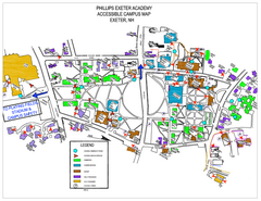
Phillips Exeter Academy Campus Map
Phillips Exeter Academy Campus Map
569 miles away
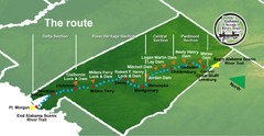
Alabama Scenic River Trail Map
631 miles of riverway. Starts in northeastern Alabama's mountains, flows through 9 lakes and...
572 miles away
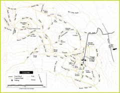
Trapp Ski Center Trail Map
Map of trails in the ski center at the Trapp Family Lodge
581 miles away

White River State Trail Map
Take the White River Trail from Elkhom to Burlington through nature's backyard.
605 miles away
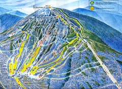
Sugarloaf Mountain Trail Map
Ski trail map
611 miles away
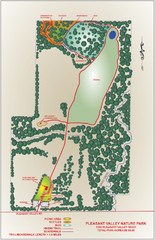
Pleasant Valley Nature Park Map
614 miles away
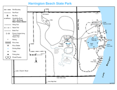
Harrington Beach State Park Map
Trails around Harington Beach State Park.
615 miles away

Chippewa Morraine State Park Map
Walking trails.
618 miles away
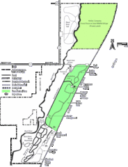
Kohler-Andrae State Park Map
trail, walk, water, nature, tourism, vacation, fun, adventure, journey,
619 miles away
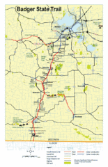
Badger State Trail Map
One of Wisconsin's best trails.
659 miles away


 Explore Maps
 Map Directory
